Search
« Previous | 81 - 100 of 2,534 | Next »
Search Results
-
81. [Article] Morton Creek AIP Report-2008 & 2012
Abstract -- In 2009 the Curry Soil and Water Conservation District (District), the South Coast Watershed Council (Council), and their partners, undertook a channel relocation project on lower Morton Creek ...Citation -
82. [Article] Butte Creek AIP Report 2008 & 2012
Abstract -- In 2009 the Curry Soil and Water Conservation District (District), the South Coast Watershed Council (Council), and their partners, undertook a channel relocation project on lower Morton Creek ...Citation -
Statistical summaries of streamflow data at 212 stream-gaging sites are presented in this report to aid in appraising the hydrology of river basins in Western Oregon. Records for 21 gaging stations were ...
Citation -
84. [Image] Quartz Creek stream survey
 Quartz Creek is a tributary to the Cispus River
Citation -
85. [Image] Quartz Creek stream survey
 Quartz Creek is a tributary to the Cispus River
Citation -
Determining Surface Water Availability in Oregon By Richard M. Cooper, PE Abstract The Oregon Water Resources Department (Department or OWRD) limits appropriation from Oregon streams to assure new applicants ...
Citation -
87. [Article] Amphibian Distribution in Wadeable Streams and Ponds in Western and Southeast Oregon, 2009-2010 Progress Reports 2011
Abstract -- The ODFW Oregon Conservation Strategy identified monitoring needs for 17 amphibian species native to the state of Oregon that are designated as “Strategy Species”, or “Species of Greatest Conservation ...Citation -
Longitudinal water surface profiles from high-gradient mountain streams provide useful indicators of the relative potential for hyporheic exchange flow in stream reaches with varying morphology. The spacing ...
Citation -
89. [Image] Woods Creek
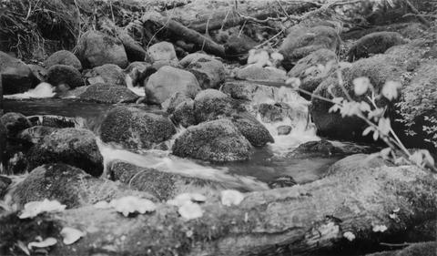 Mouth of Woods Creek showing steep gradient and moss-covered boulders in stream bed. It is inaccessible at low water. Woods Creek is a tributary to the Cispus River
Citation -
90. [Image] Stream bed above Lebanon
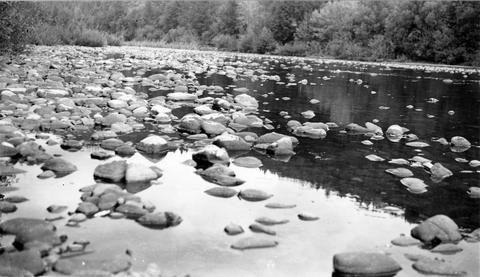 South Santiam River stream bed above Lebanon, Oregon Large rubble and bedrock were becoming dominant;1940-08-12
Citation -
91. [Image] Boat survey Clackamas River
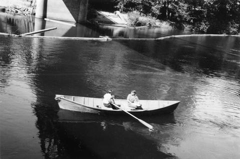 Boat survey on the Clackamas River; 1938-06-28
Citation -
92. [Image] Surveying Yakima River
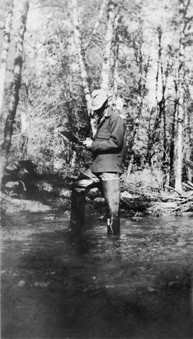
 Mitch Hanavan at oars and Dick Whiteleather on stream survey of the Yakima River
Citation -
93. [Article] Coastal Salmon Spawning Survey Procedure Manuel 1996
Abstract -- The Ocean Salmon Management Stream Inventory Project is the branch of the Oregon Department of Fish and Wildlife with the primary task of monitoring the status of naturally produced coastal ...Citation -
94. [Article] Lake Survey Mt Hood National Forest, 1940
Abstract -- During the field seasons of 1939 and 1940 a biological survey was conducted on the lakes of the Mt Hood National Forest. This work was carried out under a cooperative agreement between the ...Citation -
95. [Article] Curry SWCD coho spawning winter 2012_13
Abstract -- Salmonid spawning surveys were conducted in the winter of 2012-13 on 36 stream reaches within 26 streams.Citation -
96. [Article] Curry SWCD coho spawning winter 2013_14
Abstract -- Salmonid spawning surveys were conducted in the winter of 2013-14 on 24 stream reaches in 14 streams.Citation -
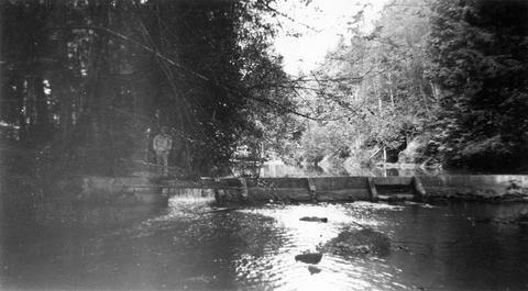
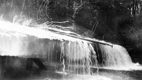
97. [Image] Dam on Milton Creek near St Helens, Oregon
-
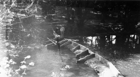
98. [Image] Dam on Milton Creek near St Helens, Oregon
-
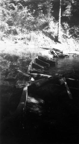
99. [Image] Dam on Milton Creek near St Helens, Oregon
-
100. [Image] Abandoned dam
 Abandoned dam on the Coast Fork Willamette River; 1938-06-20
Citation