Search
« Previous | 401 - 500 of 2,534 | Next »
Search Results
-
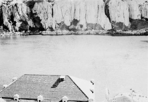
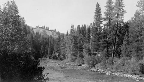
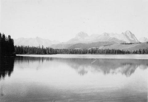
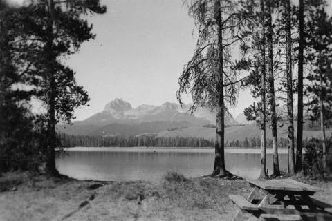
401. [Image] Upper Big Redfish Lake, Idaho
 Showing character of watershed at the Upper Big Redfish Lake, Idaho
Citation -
402. [Image] Snake River below Shoshone Falls
-
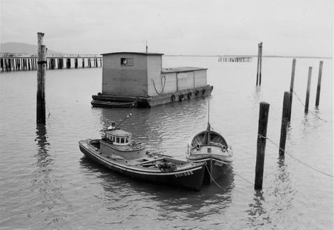
403. [Image] Gill net boats
-
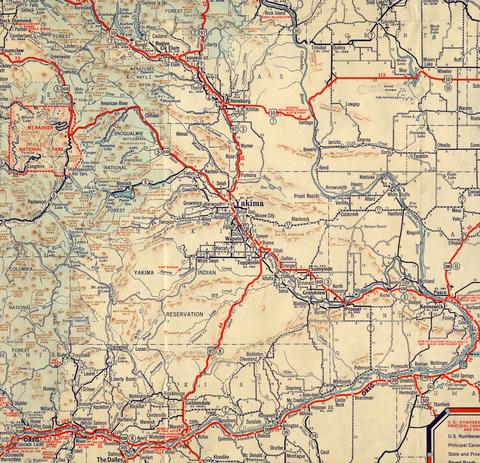
405. [Image] Yakima and surrounding area map
-
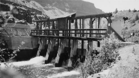
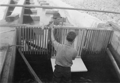
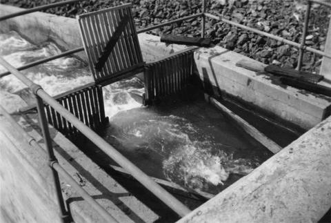
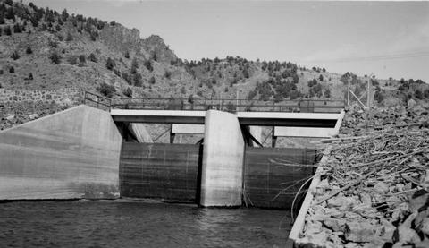
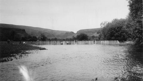
406. [Image] Screens and headgates
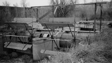 Screens and lower headgates on Selah - Moxee ditch
Citation -
407. [Image] Bonneville Dam
-
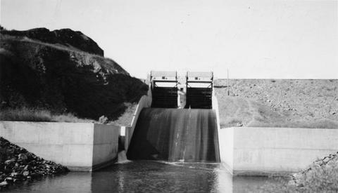
408. [Image] Headgates to Cove power canal
-
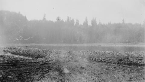
409. [Image] Big Sandy Channel
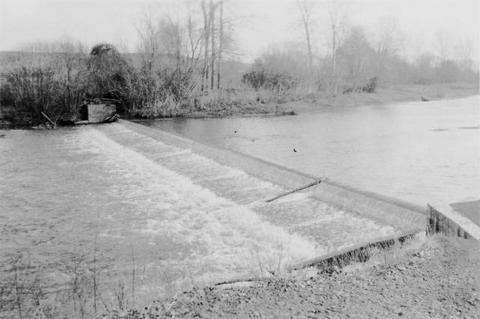
 Looking downstream from top of dam
Citation -
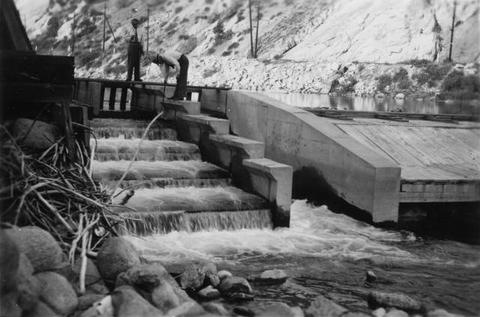
410. [Image] River Mill Dam fish ladder
 Fishway over River Mill Dam on the Clackamas River
Citation -
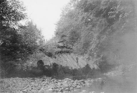
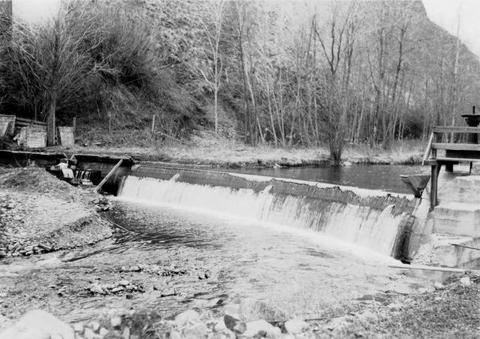
411. [Image] Old dam on Grays River
-
412. [Image] Central spillway at the Rock Island Dam
-
413. [Image] Dead dog salmon in Grays River
-
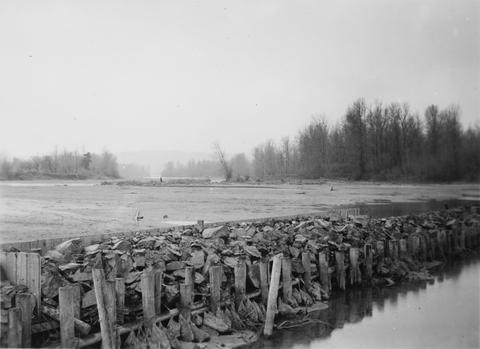
414. [Image] Big Sandy channel diversion dam
-
415. [Image] Dead dog salmon in Grays River
-
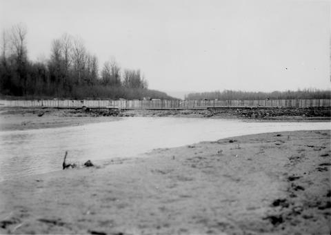
416. [Image] Big Sandy channel dam
-
417. [Image] Big Sandy channel dam
-
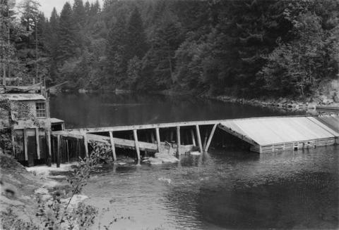
418. [Image] Washington Water Power dam and ladder
-
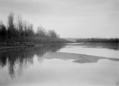
419. [Image] Deadwood River at mouth
-
420. [Image] Lewiston Dam weir
-
421. [Image] Upper end of State Ditch looking downstream
-
423. [Image] Salmon River
 Salmon River, tributary to Big Sandy River near the confluence
Citation -
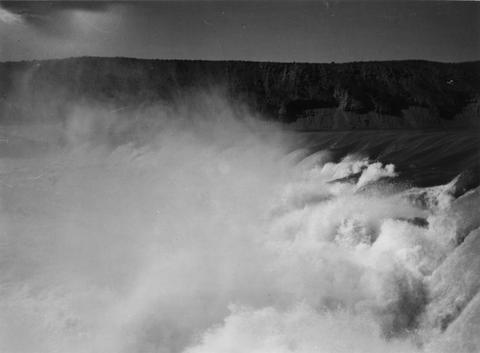
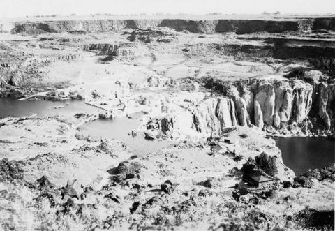
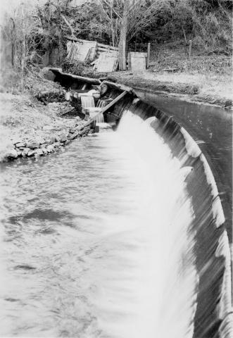
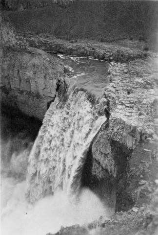
424. [Image] Palouse Falls
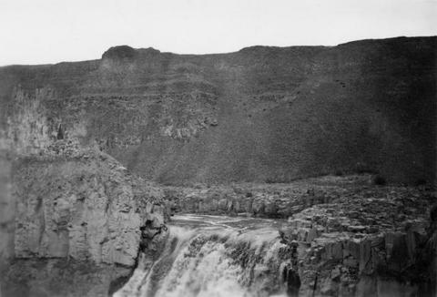 Palouse Falls on the Palouse River. The falls are 164 feet high
Citation -
425. [Image] Little Redfish Lake, Idaho
-
426. [Image] Burrows and Shaw at Redfish Lake, Idaho
-
427. [Image] Alturas Lake, Idaho
-
428. [Image] Uppermost end of Payette Lake, Idaho
-
430. [Image] 9 mile dam on the Walla Walla River
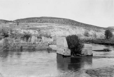 Dam has been blasted out.
Citation -
431. [Image] Gravel dredging
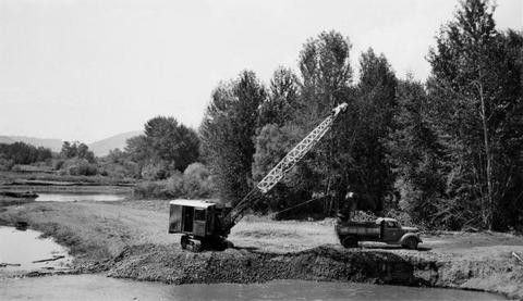 Gravel dredging on the Grande Ronde River looking upstream from the highway bridge near Island City, Oregon
Citation -
432. [Image] Unity Dam on Burnt River
-
433. [Image] Dam and fish ladder Asotin Creek
-
434. [Image] Lower dam on the Washougal River
-
435. [Image] Upper dam on the Washougal River
-
436. [Image] Fish ladder
 Fish ladder on the Washougal River upper dam
Citation -
437. [Image] Fish ladder
 Fish ladder on the Washougal River upper dam
Citation -
438. [Image] Snake River
 Snake River, Idaho below Swan Falls Power House
Citation -
439. [Image] Stanley Basin
 Stanley Basin - Upper Salmon River, Idaho
Citation -
440. [Image] Washougal River power dam
 Washougal River power dam showing the downstream front view
Citation -
441. [Image] Upper dam on the Washougal River
-
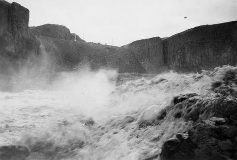
442. [Image] Shoshone Falls on the Snake River in Idaho
-
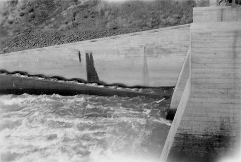
443. [Image] Shoshone Falls and power diversion
-
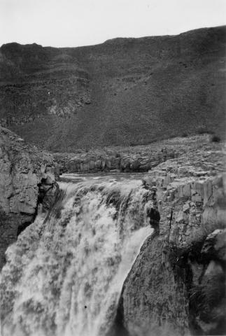
444. [Image] Palouse Falls
 Palouse Falls on the Palouse River. The falls are 164 feet high
Citation -
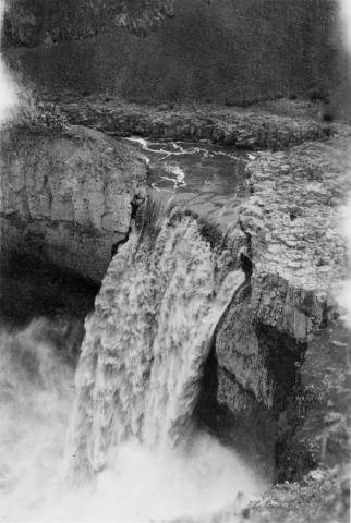
445. [Image] Palouse Falls
 Palouse Falls on the Palouse River. The falls are 164 feet high
Citation -
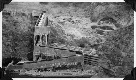
446. [Image] Tucannon River completed weir
-
447. [Image] Tucannon River completed weir
-
448. [Image] Constucting weir on Tucannon River
-
449. [Image] Palouse Falls
 Palouse Falls on the Palouse River. The falls are 164 feet high
Citation -
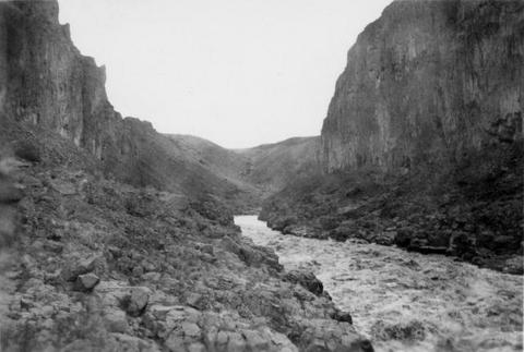
450. [Image] Snake River valley near Lewiston, Idaho
-
451. [Image] Burlingame Dam
-
452. [Image] Palouse River rapids 1/2 mile above falls
-
453. [Image] Palouse River above falls
-
454. [Image] Redfish Lake, Idaho
-
455. [Image] Lower dam on the Washougal River
-
456. [Image] Redfish Lake, Idaho
-
457. [Image] Washougal River downstream power dam
 Power dam with a fish ladder on the side
Citation -
458. [Image] Hatchery rack on the South Fork Klaskanine River
-
459. [Image] Site of new irrigation dam on Mann Creek
-
460. [Image] Little Redfish Lake, Idaho
-
461. [Image] Site of new irrigation dam on Mann Creek
-
462. [Image] Site of new irrigation dam on Mann Creek
-
463. [Image] Lewiston Dam weir
-
464. [Image] Unity Dam on Burnt River, Oregon
-
465. [Image] Lewiston Dam weir
-
466. [Image] Dam and fish ladder on Asotin Creek
-
467. [Image] Lewiston Dam weir
-
468. [Image] Tucannon River weir
-
469. [Image] Tucannon River weir
-
470. [Image] Tucannon River weir
-
471. [Image] Completed weir on the Tucannon River
-
472. [Image] Tucannon River completed weir
-
473. [Image] "Babe and Sox"
 Babe and Sox at Polar Star Mine
Citation -
474. [Image] Bryant in warm spring pool
 Bryant in warm spring open air bath near Stanley, Idaho
Citation -
475. [Image] Completed weir on the Tucannon River
-
476. [Image] Weir construction on the Tucannon River
-
477. [Image] Completed weir on the Tucannon River
-
478. [Image] Weir construction on the Tucannon River
-
479. [Image] Riffles on the Tucannon River
 Riffles on the Tucannon River near station number fifteen
Citation -
480. [Image] Mt St Helens
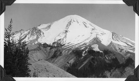 Upper watershed of South ForkToutle River at base of Mt St Helens
Citation -
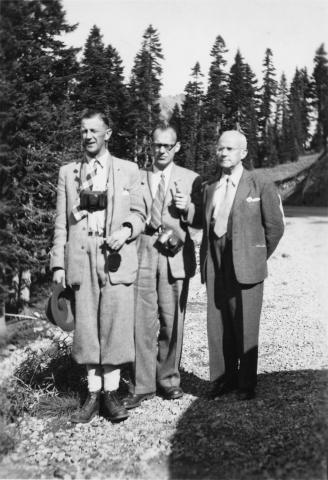
481. [Image] Three unidentified gentlemen
-
482. [Image] Frey riding "Taxi"
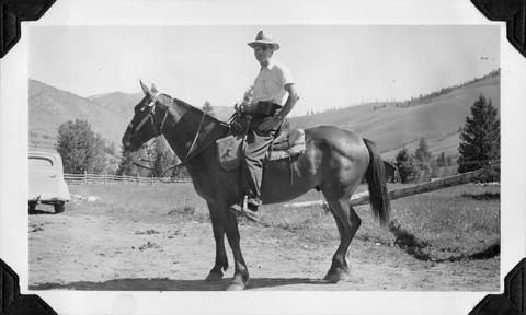 Frey on "Taxi" at start of pack trip into the Middle Fork Salmon River
Citation -
483. [Image] "Buckshot" and hound
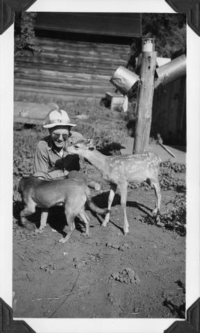 Floyd Bryant with "Buckshot" the deer and a hound
Citation -
484. [Image] Tucannon River near Starbuck, Washington
-
485. [Image] Men looking at fish ladder
-
486. [Image] Waterfalls
-
488. [Image] Middle Fork Salmon River
-
489. [Image] Base of Dam low water area
-
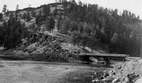
490. [Image] Bridge over river
-
491. [Image] Elaborate fish ladder near dam
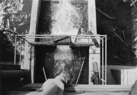
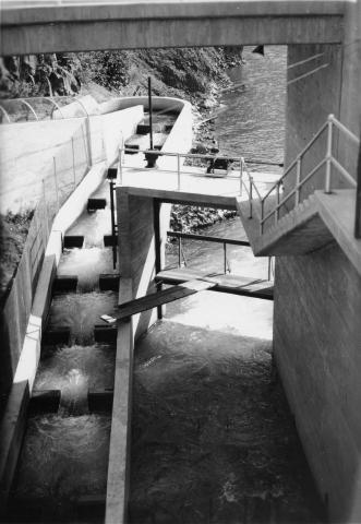 Unidentified dam area
Citation -
492. [Image] Man standing above fish ladder
 Unidentified man and dam area
Citation -
493. [Image] Men standing above fish ladder
 Unidentified men and dam area
Citation -
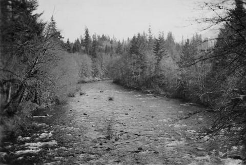
494. [Image] French Fork of Salmon River
 Looking down into French Fork of Salmon River, Idaho
Citation -
495. [Image] Clearwater River below WWP dam
-
496. [Image] Dairy Canyon Creek
 Confluence Dairy Canyon Creek with Grande Ronde, showing mining silt in latter
Citation -
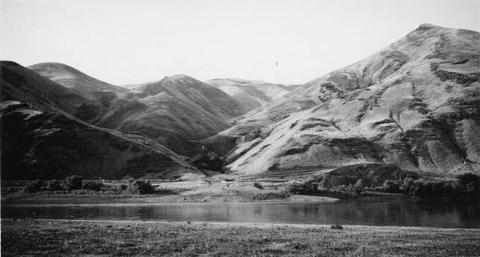
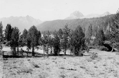
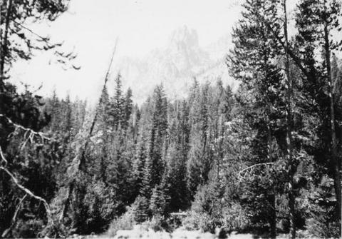
497. [Image] Sawtooth Mountains
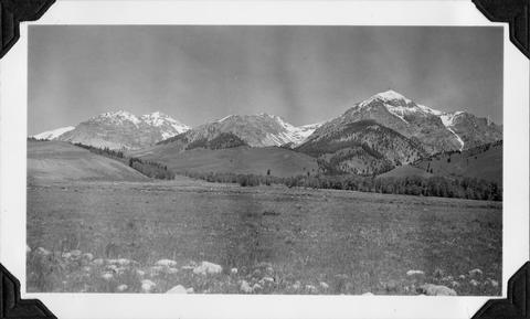 Sawtooth Mountains from Galena Pass road (US93). Valley of upper Salmon River
Citation -
498. [Image] Stanley, Idaho
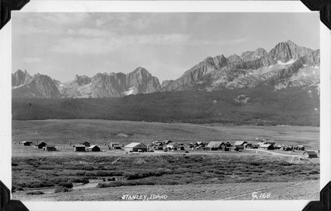 Upper Stanley, Idaho. Valley Creek in foreground with Sawtooth Mountains in the background
Citation -
499. [Image] Palouse River canyon below falls
-
500. [Image] Palouse River canyon just above falls