Search
« Previous | 11 - 20 of 2,534 | Next »
Search Results
-
11. [Image] Salt Creek Falls
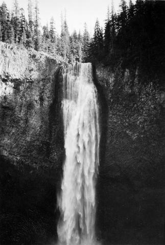 285 foot falls on Salt Creek, tributary to Middle Fork Willamette River;1937-09-10
Citation -
13. [Article] The influence of contemporary forest harvesting on summer stream temperatures in headwater streams of Hinkle Creek, Oregon
Stream temperature is a water quality parameter that directly influences the quality of aquatic habitat, particularly for cold-water species such as Pacific salmonids. Forest harvesting adjacent to a stream ...Citation -
14. [Article] Distribution and juvenile ecology of bull trout (Salvelinus confluentus) in the Cascade Mountains
Distribution and juvenile habitat use of bull trout (Salvelinus confluentus) were surveyed in selected areas of the Upper Willamette, Deschutes, upper Yakima, and upper Cedar River basins in Oregon and Washington ...Citation -
In the late 1970s, approximately 400 miles of streams were inventoried by the Prineville District of the Bureau of Land Management for in-stream and riparian condition. During the summer of 1994, the riparian ...
Citation -
16. [Article] The Impact of Fine Sediment on Stream Macroinvertebrates in Urban and Rural Oregon Streams
Urbanization, often characterized by high impervious surface area, can result in excessive inputs of fine sediments into urban streams. Excessive fine sediments can blanket the stream bed filling the interstitial ...Citation -
17. [Article] Upper Nehelam Habitat Assessments 2005
Abstract -- Project staff utilized the ODFW Aquatic Inventory protocol to assess habitat in selected small, medium, and large sized streams in the Upper Nehalem basin. In addition, the project personnel ...Citation -
18. [Article] Upper Nehelam Habitat Assessments - Winter 2006 & 2007
Abstract -- Project staff utilized the ODFW Aquatic Inventory protocol to assess habitat in selected small, medium, and large sized streams in the Upper Nehalem basin. In addition, the project personnel ...Citation -
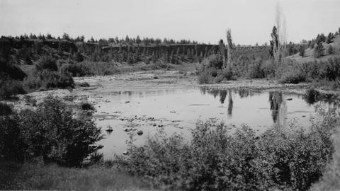
19. [Image] Boat survey
 Boat survey on Coast Fork Willamette River near Saginaw, Oregon;1938-06
Citation -
20. [Image] Sunbean Dam
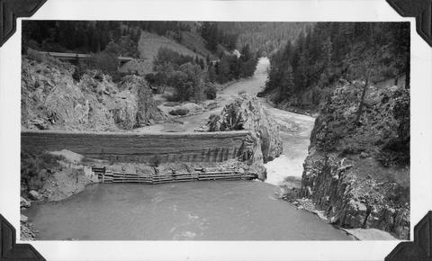 Upstream side of the Sunbeam Dam. Yankee Fork enters on left from beneath bridge
Citation