Search
« Previous | 51 - 100 of 2,534 | Next »
Search Results
-
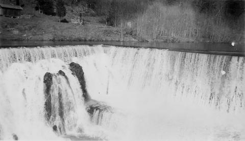
51. [Image] Marmot Dam on the Sandy River
-
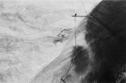
52. [Image] Steelhead jumping Kettle Falls
-
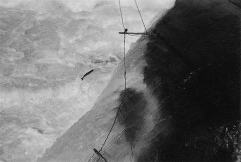
54. [Image] Steelhead jumping Kettle Falls
-
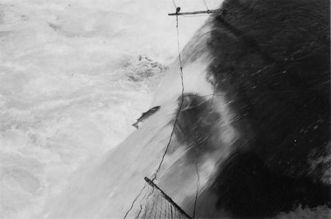
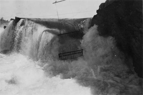
55. [Image] Jump trap at Kettle Falls
-
56. [Article] Distribution of amphibians in wadeable streams and ponds in western and southeast Oregon, Information Report 2009-02
Abstract -- The Oregon Conservation Strategy (ODFW 2006) identified monitoring needs for 17 amphibian species native to the state of Oregon that are designated as “Strategy species”, or Species of Greatest ...Citation -
57. [Article] Lake Survey of the Willamette National Forest, 1937
Abstract -- This is the third and concluding report of the Willamette National Forest Lake Survey which was started in 1936. The survey was conducted under the joint cooperative agreement between U.S. ...Citation -
58. [Image] Middle Fork Willamette River
 Middle Fork Willamette River above Tumblebug Creek, end of survey;1938-07
Citation -
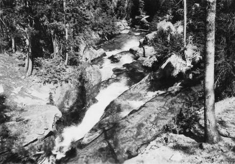
59. [Image] Big Redfish Lake Stream, Idaho
-
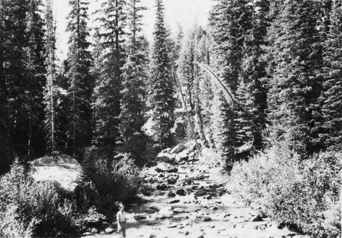
60. [Image] Big Redfish Lake Stream, Idaho
-
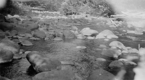
61. [Image] Boulders in stream
-
Abstract -- A partial list of lakes and streams of Oregon by county. Also contains lake surveys from the early 1930's. Describes lake and streams general shape, fish species, and location.
Citation -
 The purpose of this Columbia River Stream Survey has been to provide data for evaluation of each stream, or portion of stream, from the standpoint of its present and potential value in relation to the ...
Citation -
64. [Article] Is the past present? Historical splash-dam mapping and stream disturbance detection in the Oregon Coastal Province
Severe scouring from splash damming was one of the earliest reported forms of widespread anthropogenic disturbance in streams of the Pacific Northwest, USA. Splash damming was a common method of log transport ...Citation -
65. [Article] AI - Fish Habitat Assessment in The Oregon Department of Forestry Tillamook Study Area
Abstract -- A collaborative project between the Oregon Department of Forestry (ODF) and the Oregon Department of Fish and Wildlife (ODFW) was initiated to synthesize aquatic habitat and fisheries information ...Citation -
66. [Article] AI - Fish Habitat Assessment in The Oregon Department of Forestry North Cascade Study Area
Abstract -- A collaborative project between the Oregon Department of Forestry (ODF) and the Oregon Department of Fish and Wildlife (ODFW) was initiated to synthesize aquatic habitat and fisheries information ...Citation -
67. [Article] AI - Fish Habitat Assessment in The Oregon Department of Forestry Lower Nehalem and Necanicum Study Area
Abstract -- A collaborative project between the Oregon Department of Forestry (ODF) and the Oregon Department of Fish and Wildlife (ODFW) was initiated to synthesize aquatic habitat and fisheries information ...Citation -
Abstract -- A collaborative project between the Oregon Department of Forestry (ODF) and the Oregon Department of Fish and Wildlife (ODFW) was initiated to synt hesize aquatic habitat and fisheries information ...
Citation -
69. [Article] AI - Fish Habitat Assessment in The Oregon Department of Forestry Upper Nehalem and Clatskanie Study Area
Abstract -- A collaborative project between the Oregon Department of Forestry (ODF) and the Oregon Department of Fish and Wildlife (ODFW) was initiated to synthesize aquatic habitat and fisheries information ...Citation -
Abstract -- A collaborative project between the Oregon Department of Forestry (ODF) and the Oregon Department of Fish and Wildlife (ODFW) was initiated to synthesize aquatic habitat and fisheries information ...
Citation -
71. [Article] AI - Reference Site Selection and Survey Results 2000
Abstract -- The Oregon Department of Fish and Wildlife (ODFW) Aquatic Inventories Project conducts stream habitat surveys as part of the Oregon Plan for Salmon and Watersheds. The goal of these surveys ...Citation -
72. [Article] Lake and Stream Survey Whitman National Forest
Abstract -- This is the second report of the conditions existing in the lakes and streams of the Whitman National Forest, Region 6. The first survey, conducted in the summer of 1938, and this survey, ...Citation -
Abstract -- The objectives of the present survey of the upper waters of the South Fork of the Umpqua River were to: (1) develop practical and scientifically sound stocking policies; (2) determine the need ...
Citation -
74. [Article] Curry Watersheds Partnerships 2014 Spawning Surveys
Abstract -- The Curry Watersheds Partnership (Curry SWCD and South Coast and Lower Rogue watershed councils) conducted salmon spawning surveys on 14 stream reaches in the winter of 2014-15. The surveys ...Citation -
It has long been known that the presence of wood in rivers plays a vital biological and functional role and that a reciprocal relationship exists between woody material and the geomorphology of rivers. ...
Citation -
Abstract -- The ODFW Oregon Conservation Strategy identified monitoring needs for 17 amphibian species native to the state of Oregon that are designated as “Strategy species”, or Species of Greatest Conservation ...
Citation -
77. [Image] Surveying forest streams for fish use
Oregon Department of Forestry Forest Practices Section 2600 State Street Salem, OR 97310 Dl Fish 8 Wildlife Oregon Department of Fish and Wildlife Habitat Conservation Division P. O. Box 59 Portland, OR ...Citation -
This archived document is maintained by the Oregon State Library as part of the Oregon Documents Depository Program. It is for informational purposes and may not be suitable for legal purposes.
Citation -
79. [Article] Nature in chains : the effects of Thomas Jefferson’s rectangular survey on a Pacific Northwest landscape
Understanding the impact of humans on the environment has long been a topic of scholarly interest and debate. As environmental problems mount, accounts of historic ecological conditions and the factors ...Citation -
Pool morphology was surveyed in 19 stream sections within the central Oregon Coast Range. Pool locations, sizes, spacings, numbers, and factors affecting pool formation were determined for each stream ...
Citation -
81. [Article] Morton Creek AIP Report-2008 & 2012
Abstract -- In 2009 the Curry Soil and Water Conservation District (District), the South Coast Watershed Council (Council), and their partners, undertook a channel relocation project on lower Morton Creek ...Citation -
82. [Article] Butte Creek AIP Report 2008 & 2012
Abstract -- In 2009 the Curry Soil and Water Conservation District (District), the South Coast Watershed Council (Council), and their partners, undertook a channel relocation project on lower Morton Creek ...Citation -
Statistical summaries of streamflow data at 212 stream-gaging sites are presented in this report to aid in appraising the hydrology of river basins in Western Oregon. Records for 21 gaging stations were ...
Citation -
84. [Image] Quartz Creek stream survey
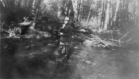 Quartz Creek is a tributary to the Cispus River
Citation -
85. [Image] Quartz Creek stream survey
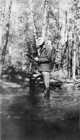 Quartz Creek is a tributary to the Cispus River
Citation -
Determining Surface Water Availability in Oregon By Richard M. Cooper, PE Abstract The Oregon Water Resources Department (Department or OWRD) limits appropriation from Oregon streams to assure new applicants ...
Citation -
87. [Article] Amphibian Distribution in Wadeable Streams and Ponds in Western and Southeast Oregon, 2009-2010 Progress Reports 2011
Abstract -- The ODFW Oregon Conservation Strategy identified monitoring needs for 17 amphibian species native to the state of Oregon that are designated as “Strategy Species”, or “Species of Greatest Conservation ...Citation -
Longitudinal water surface profiles from high-gradient mountain streams provide useful indicators of the relative potential for hyporheic exchange flow in stream reaches with varying morphology. The spacing ...
Citation -
89. [Image] Woods Creek
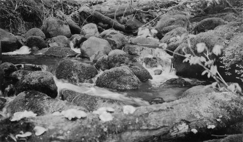 Mouth of Woods Creek showing steep gradient and moss-covered boulders in stream bed. It is inaccessible at low water. Woods Creek is a tributary to the Cispus River
Citation -
90. [Image] Stream bed above Lebanon
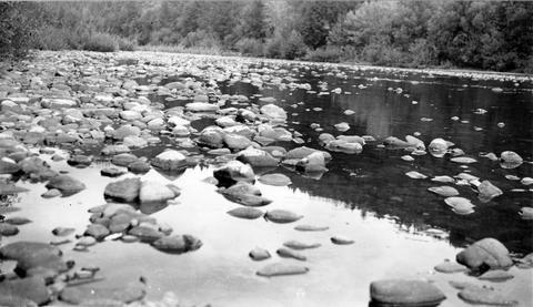 South Santiam River stream bed above Lebanon, Oregon Large rubble and bedrock were becoming dominant;1940-08-12
Citation -
91. [Image] Boat survey Clackamas River
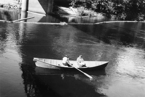 Boat survey on the Clackamas River; 1938-06-28
Citation -
92. [Image] Surveying Yakima River
 Mitch Hanavan at oars and Dick Whiteleather on stream survey of the Yakima River
Citation -
93. [Article] Coastal Salmon Spawning Survey Procedure Manuel 1996
Abstract -- The Ocean Salmon Management Stream Inventory Project is the branch of the Oregon Department of Fish and Wildlife with the primary task of monitoring the status of naturally produced coastal ...Citation -
94. [Article] Lake Survey Mt Hood National Forest, 1940
Abstract -- During the field seasons of 1939 and 1940 a biological survey was conducted on the lakes of the Mt Hood National Forest. This work was carried out under a cooperative agreement between the ...Citation -
95. [Article] Curry SWCD coho spawning winter 2012_13
Abstract -- Salmonid spawning surveys were conducted in the winter of 2012-13 on 36 stream reaches within 26 streams.Citation -
96. [Article] Curry SWCD coho spawning winter 2013_14
Abstract -- Salmonid spawning surveys were conducted in the winter of 2013-14 on 24 stream reaches in 14 streams.Citation -
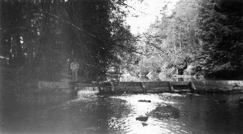
97. [Image] Dam on Milton Creek near St Helens, Oregon
-
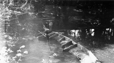
98. [Image] Dam on Milton Creek near St Helens, Oregon
-
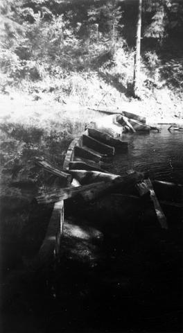
99. [Image] Dam on Milton Creek near St Helens, Oregon
-
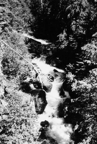
100. [Image] Abandoned dam
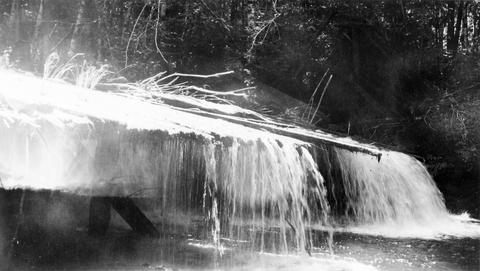 Abandoned dam on the Coast Fork Willamette River; 1938-06-20
Citation