Search
You searched for:
Start Over
Tualatin River Watershed
Remove constraint Tualatin River Watershed
Database
Oregon Digital
Remove constraint Database: Oregon Digital
« Previous | 1 - 10 of 186 | Next »
Search Results
-
1. [Image] Small storage dam
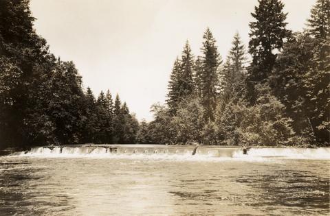 Small storage dam on the Tualatin River, located 3 miles above the mouth It is 3 feet high but the downstream apron makes passage difficult; 1937-06-24
Citation -
2. [Image] Small storage dam
 Small storage dam on the Tualatin River, located 3 miles above the mouth It is 3 feet high but the downstream apron makes passage difficult; 1937-06-24
Citation -
3. [Image] Barn (Tualatin, Oregon)
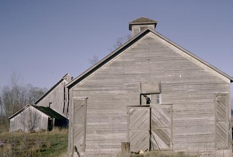 This image is included in Building Oregon: Architecture of Oregon and the Pacific Northwest, a digital collection which provides documentation about the architectural heritage of the Pacific Northwest....
Citation -
4. [Image] Bridge over the Tualatin River
-
5. [Image] Falls in Tualatin River
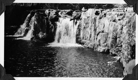 Falls in Tualatin River 3-4 miles above Cherry Grove, Oregon; 1940-09-15 From Album 1 page 39
Citation -
6. [Image] Falls in the Tualatin River
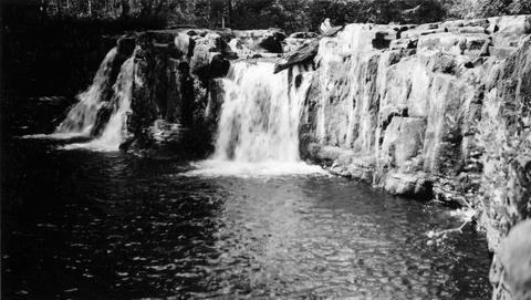 Falls in the Tualatin River located about 3-4 miles above the town of Cherry Grove, Oregon; 1940-09-15
Citation -
7. [Image] Falls in Tualatin River
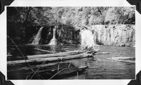 Falls in Tualatin River 3-4 miles above Cherry Grove, Oregon; 1940-09-15 From Album 1 page 39
Citation -
8. [Image] Trees along the Tualatin
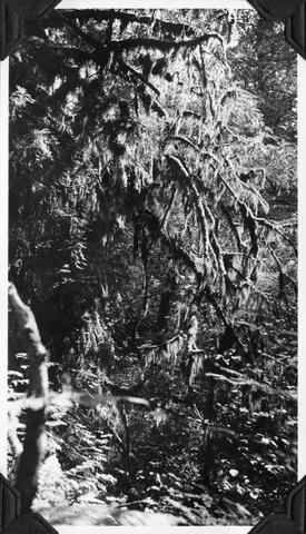 Trees along the Tualatin River heavily hung with moss; near Cherry Grove, Oregon; 1940-09-15 From Album 1 page 39
Citation -
 Special scientific report ; no 51
Citation -
10. [Image] Willamette River
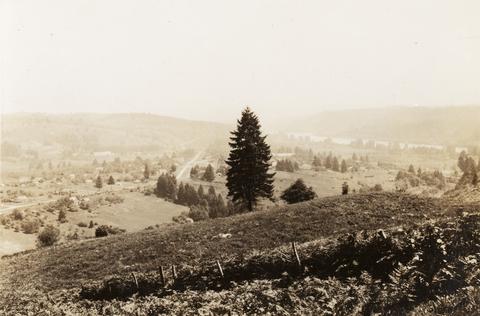 Willamette River near the confluence of the Tualatin River West Linn, Oregon, (near Oregon City) is in the center; 1937-06-23
Citation
