Search
You searched for:
Start Over
Historic stream surveys
Remove constraint Historic stream surveys
Database
Oregon Digital
Remove constraint Database: Oregon Digital
« Previous | 1 - 10 of 1,284 | Next »
Search Results
-
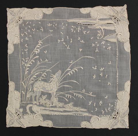 Tea Cloth of fine, white linen hand-embroidered with open-work, shadow-work, textural stitches and satin stitch; each corner is heavily worked with leaves and swirling vines with a lower left scene of ...
Citation -
2. [Image] Aerial view of campus
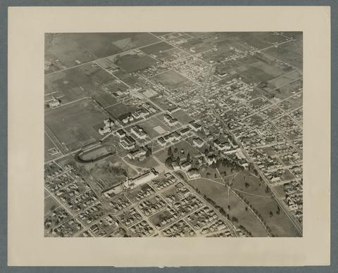 Coleman field is lower left, partially obscuredby smoke coming from the physical plant smokestack.
Citation -
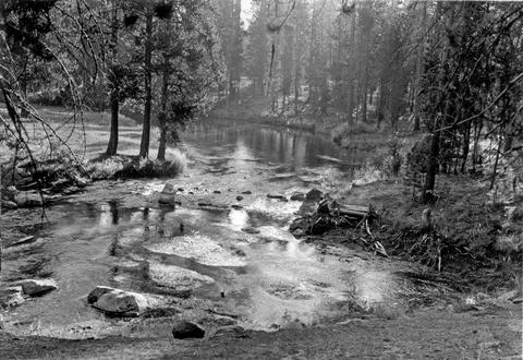
3. [Image] Fall river springs, looking down stream
-
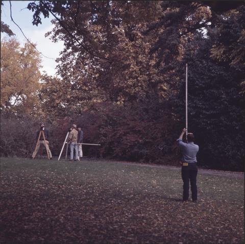
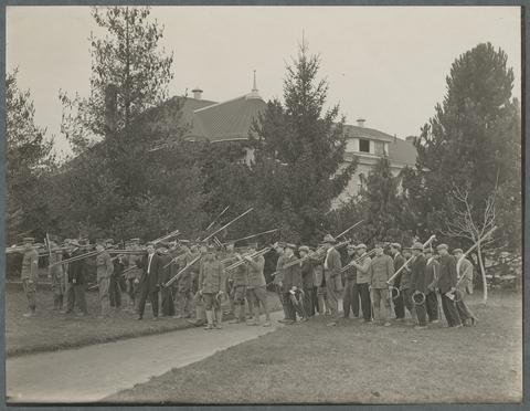 Science Hall (later Education Hall and now Furman Hall) is seen in the background.
Citation -
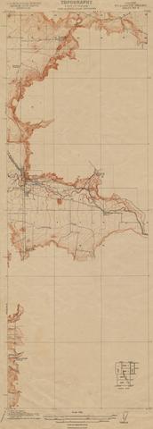
6. [Image] Oregon Willamette Valley, sheet no. 5; Historic topo[topographic] map of the Willamette Valley
 Surveyed in 1911. Contour interval 5 feet. Scale 1/31680
Citation -
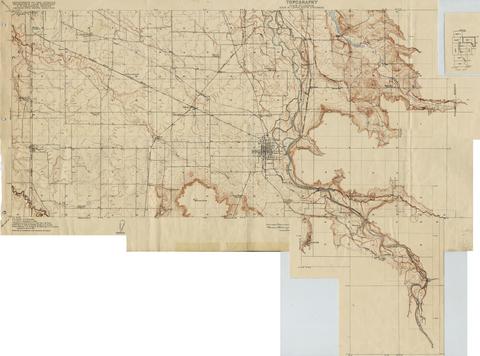
7. [Image] Oregon Willamette Valley, sheet no. 4; Historic topo[topographic] map of the Willamette Valley
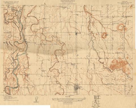 Surveyed in 1910. Contour interval 5 feet. Scale 1/31680
Citation -
8. [Image] Oregon Willamette Valley, sheet no. 7; Historic topo[topographic] map of the Willamette Valley
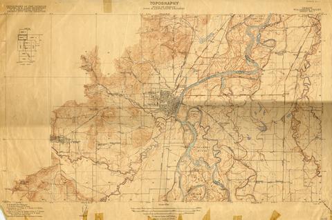 Surveyed in 1911-1912 and 1913. Contour interval 5 feet. Scale 1/31680
Citation -
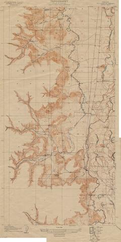
9. [Image] Oregon Willamette Valley, sheet no. 6; Historic topo[topographic] map of the Willamette Valley
 Surveyed in 1909-1911. Contour interval 5 feet. Scale 1/31680
Citation -
10. [Image] Oregon Willamette Valley, sheet no. 8; Historic topo[topographic] map of the Willamette Valley
 Surveyed in 1911 and 1914.
Citation