Search
You searched for:
Start Over
Dams
Remove constraint Dams
Database
Oregon Digital
Remove constraint Database: Oregon Digital
« Previous | 1 - 50 of 1,556 | Next »
Search Results
-
1. [Image] Sunbean Dam
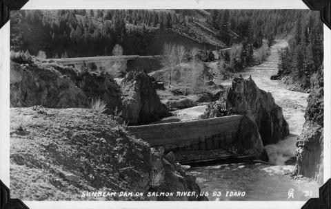 Sunbeam Dam on the Salmon River in Idaho, close to US 93
Citation -
2. [Image] Mann Creek temporary diversion dam
 Temporary diversion dam on Mann Creek 1300 yards below US 95 bridge. The dam takes all water, approximately 1 cubic foot per second, which seeps through dam Another dam, 150 yards below, diverts the ...
Citation -
3. [Image] Salmon and Bonneville Dam
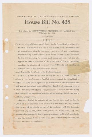 1. Bill introduced regarding commercial fishing near the Bonneville Dam and on Columbia River tributaries east of the Deschutes River; 2. Article in an issue of the Business Survey of the Portland Area ...
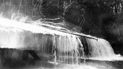
Citation -
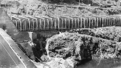
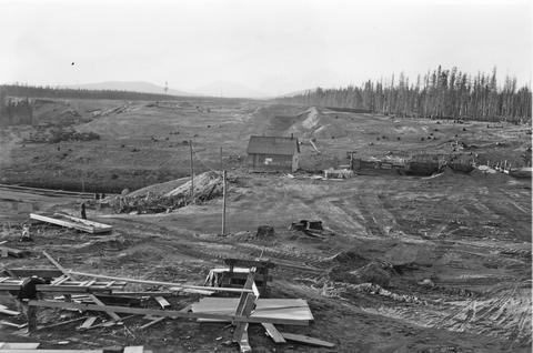 Photo is looking north across the main dam construction toward the diked area.
Citation -
5. [Image] Mann Creek temporary diversion dam
 Temporary diversion dam on Mann Creek 1500 yards below US 95 bridge. This dam takes all the water which seeps through another dam 150 yards upstream. The low water is a barrier for fish
Citation -
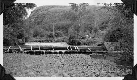
6. [Image] Wapato project dam
 Main dam and central fish ladder at the Wapato project dam
Citation -
7. [Image] Wapato project dam
 Main dam and central fish ladder at the Wapato project dam
Citation -
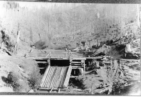
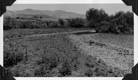
8. [Image] Mann Creek dam and diversion
 Dam and diversion on Mann Creek just above the Harold Beecher dam. About 1 cubic foot per second is escaping under flash boards. Pool above dam is heavily covered with algae. It is a low water barrier ...
Citation -
9. [Image] Cazadero Dam
 Cazadero Dam, now known as Faraday Dam, on Clackamas River, 70 feet with no ladder; 1938-06-28
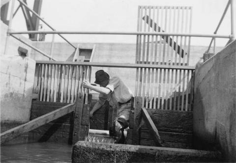
Citation -
10. [Image] Mann Creek dam and diversion
 Dam and diversion on Mann Creek just above the Harold Beecher dam. About 1 cubic foot per second is escaping under flash boards. Pool above dam is heavily covered with algae. It is a low water barrier ...
Citation -
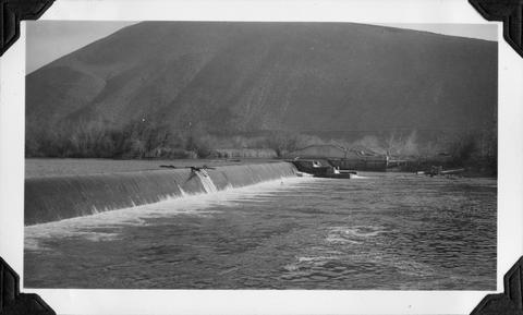
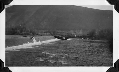
11. [Image] Power diversion dam across Grande Ronde River
 Grande Ronde River with power diversion dam completely across the river. It is a barrier for fish at low water when only seepage escapes downstream. Dam is located between La Grande and Island City, Oregon ...
Citation -
12. [Image] Lewiston Dam
 Lewiston Dam on the Clearwater River. Washington Water Power Company dam
Citation -
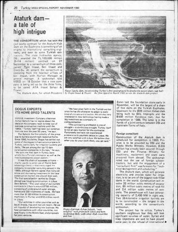
13. [Image] Ataturk Dam - A Tale of High Intrigue
-
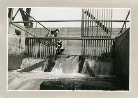
14. [Image] Lewiston Dam weir
-
15. [Image] Lewiston Dam weir
-
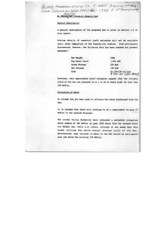
16. [Image] Al Wehdah (Unity) Dam (Formerly Magarin Dam)
-
17. [Image] Credit Deal Done for Ataturk Dam
-
19. [Image] Abandoned dam
 Abandoned dam on the Coast Fork Willamette River; 1938-06-20
Citation -
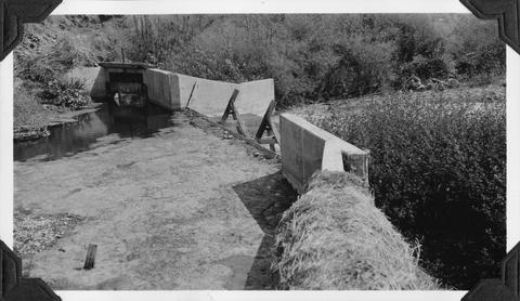
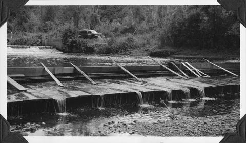
20. [Image] Catherine Creek diversion dam
 Diversion dam for flour mill at Union, Oregon
Citation -
21. [Image] So Santiam River dam
 South Santiam River Dam near Lebanon, Oregon;1938
Citation -
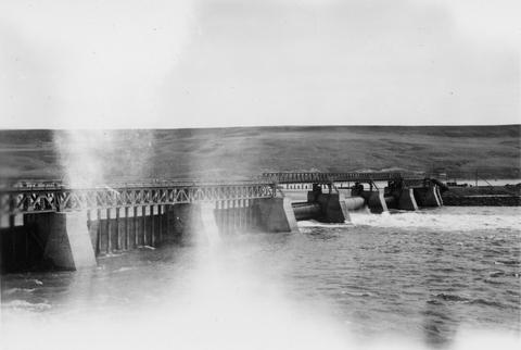
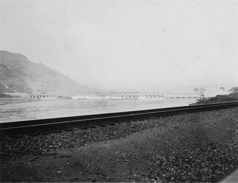
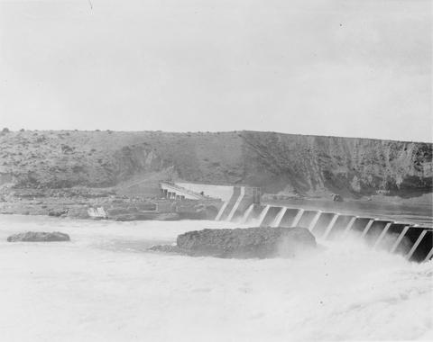
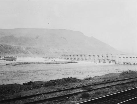
22. [Image] Rock Island Dam
 Rock Island Dam on the Columbia River
Citation -
23. [Image] Rock Island Dam
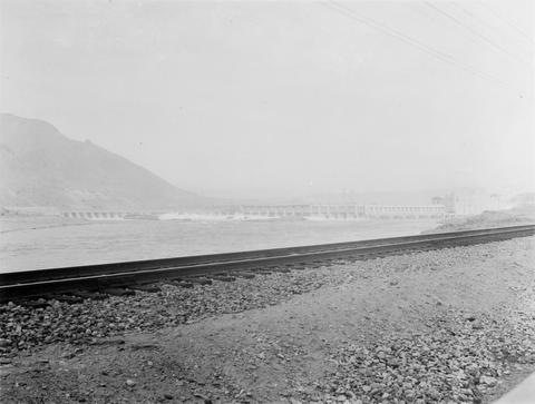 Rock Island Dam on the Columbia River
Citation -
24. [Image] Rock Island Dam
 Rock Island Dam on the Columbia River
Citation -
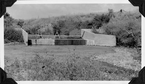
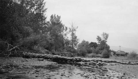
25. [Image] 9 mile dam on the Walla Walla River
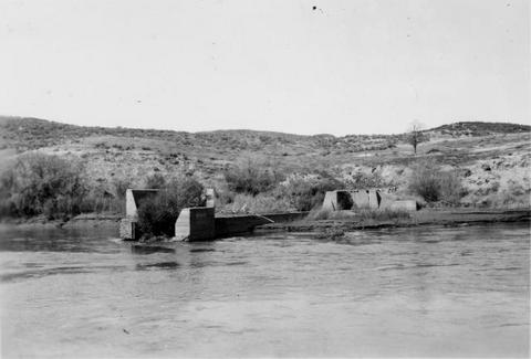 Dam has been blasted out.
Citation -
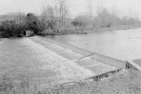
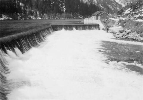
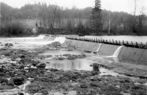
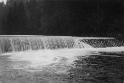
26. [Image] Lebanon Dam
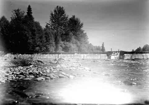 Lebanon Dam on the South Santiam River with fish ladder
Citation -
27. [Image] Lebanon Dam
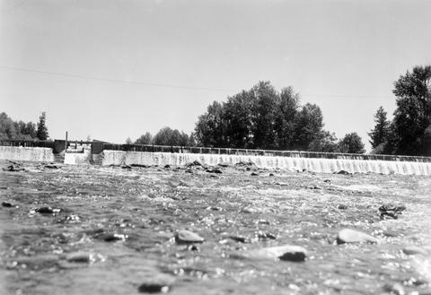 Lebanon Dam on the South Santiam River, Oregon
Citation -
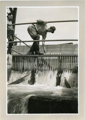
28. [Image] Lewiston Dam weir
-
29. [Image] 9 mile dam on the Walla Walla River
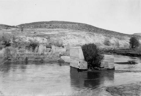 Dam has been blasted out.
Citation -
30. [Image] Washougal River power dam
 Washougal River power dam showing the downstream front view
Citation -
31. [Image] Burlingame Dam
-
32. [Image] Washougal River downstream power dam
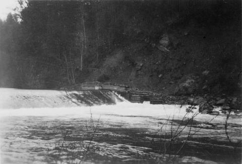 Power dam with a fish ladder on the side
Citation -
33. [Image] Lewiston Dam weir
-
34. [Image] Lewiston Dam weir
-
35. [Image] Lewiston Dam weir
-
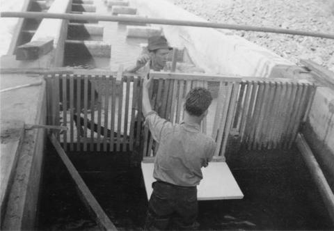
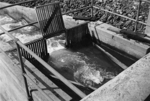
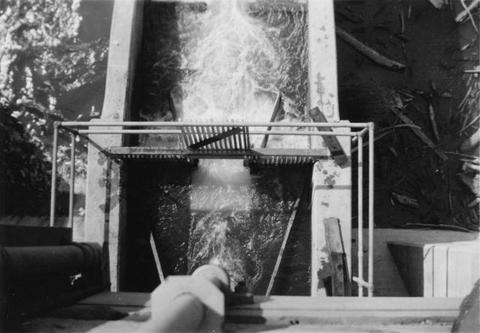
36. [Image] Elaborate fish ladder near dam
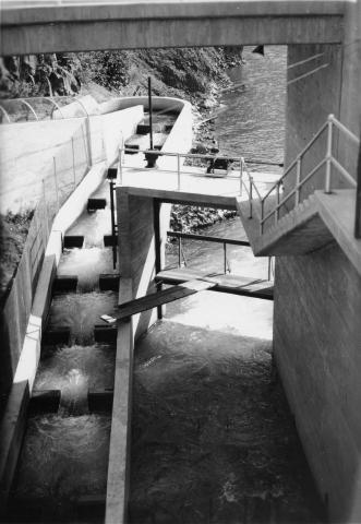 Unidentified dam area
Citation -
37. [Image] Rock Island Dam
 Rock Island Dam on the Columbia River
Citation -
38. [Image] Tumwater Dam on Wenatchee River
-
39. [Image] Rock Island Dam
 Rock Island Dam on the Columbia River
Citation -
40. [Image] Catherine Creek diversion dam
 Diversion dam for flour mill at Union, Oregon
Citation -
41. [Image] Lewiston Dam weir
-
42. [Image] Rock Island Dam
 Rock Island Dam on the Columbia River
Citation -
43. [Image] Filtration Screen of the Aswan Dam
-
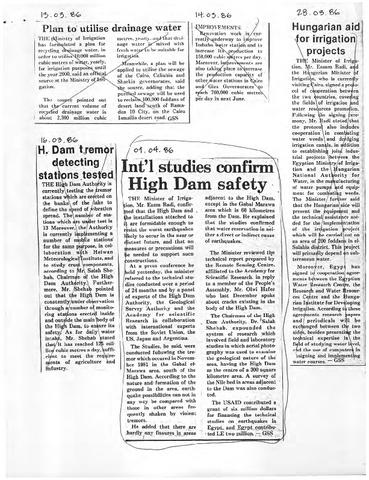
44. [Image] Int'l Studies Confirm High Dam Safety
-
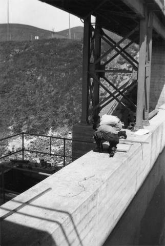
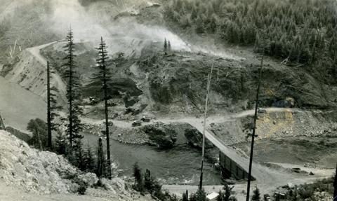
45. [Image] Detroit Dam construction
-
46. [Image] Detroit Dam construction site
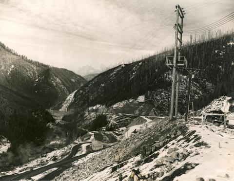 Photo shows the South Santiam River, Highway 22 and the Detroit Dam construction site.
Citation -
47. [Image] Detroit Dam, Oregon, 1949
-
49. [Image] Gold Ray Dam
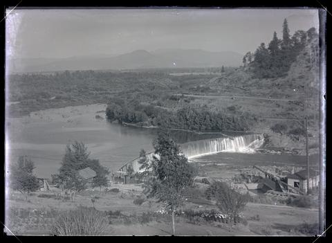 A view of the Gold Ray Dam on the Rogue River.
Citation