Search
You searched for:
Start Over
Watersheds
Remove constraint Watersheds
Database
Oregon Digital
Remove constraint Database: Oregon Digital
« Previous | 1 - 20 of 554 | Next »
Search Results
-
 Special scientific report ; no 51
Citation -
2. [Image] Upper Big Redfish Lake, Idaho
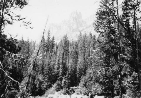 Showing character of watershed at the Upper Big Redfish Lake, Idaho
Citation -
3. [Image] Deschutes River Watershed south of Bend
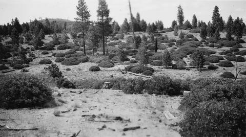 Typical watershed covering for some distance south of Bend. Rounded clumps are mainly green-leaf manzanita with some Ceanothus and Ribes
Citation -
4. [Image] View of watershed at Hot Springs
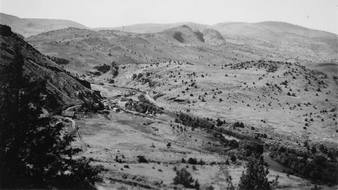 Warm Springs River and watershed area
Citation -
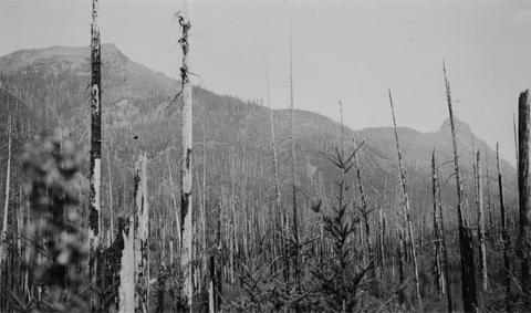
5. [Image] Upper Cispus River watershed
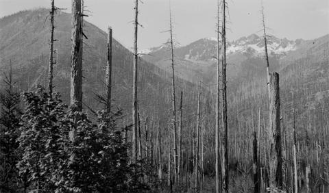 Watershed of Upper Cispus River showing extensive burn-over area
Citation -
6. [Image] Watershed Initiatives
-
7. [Image] Watershed Initiatives
-
8. [Image] Watershed Initiatives
-
9. [Image] Watershed Initiatives
-
10. [Image] Pulp Ponds
 A cibachrome print of a landscape photograph featuring black shapes bordered by white. The focus is American river watersheds.
Citation -
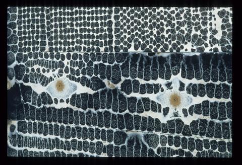
11. [Image] Gyalectaria diluta
 Apothecial section POL; Habitat: Old Douglas fir forest; Location: W slope Cascades, H. J. Andrews Exptl. For., S of Watershed 10; Substrate: Branch, tree; Elevation: 610 meters; Notes: Original ID as ...
Citation -
12. [Image] Gyalectaria diluta
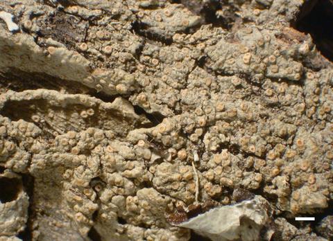 Habit; Habitat: Old Douglas fir forest; Location: W slope Cascades, H. J. Andrews Exptl. For., S of Watershed 10; Substrate: Branch, tree; Elevation: 610 meters; Notes: Original ID as Ochrolechia. On limbs ...
Citation -
13. [Image] Gyalectaria diluta
 Apothecial section; Habitat: Old Douglas fir forest; Location: W slope Cascades, H. J. Andrews Exptl. For., S of Watershed 10; Substrate: Branch, tree; Elevation: 610 meters; Notes: Original ID as Ochrolechia. ...
Citation -
14. [Image] Gyalectaria diluta
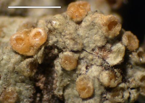 Apothecia; Habitat: Old Douglas fir forest; Location: W slope Cascades, H. J. Andrews Exptl. For., S of Watershed 10; Substrate: Branch, tree; Elevation: 610 meters; Notes: Original ID as Ochrolechia. ...
Citation -
15. [Image] Watershed of Upper Cispus River
 Watershed of Upper Cispus River showing extensive burn-over area and mountainous terrain
Citation -
16. [Image] Watershed between Loon and Cougar Creeks
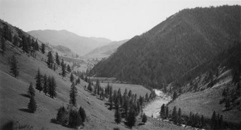 Typical watershed between Loon and Cougar Creeks. Broad benches are common
Citation -
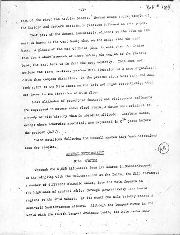
17. [Image] General Physiography - Nile System
-
18. [Image] Bibliography