Search
You searched for:
Start Over
Historic stream surveys
Remove constraint Historic stream surveys
Database
Oregon Digital
Remove constraint Database: Oregon Digital
« Previous | 1 - 100 of 1,284 | Next »
Search Results
-
1. [Image] Sunbean Dam
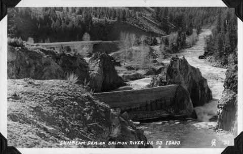 Sunbeam Dam on the Salmon River in Idaho, close to US 93
Citation -
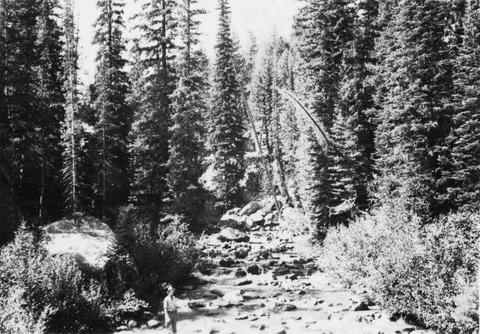
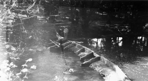
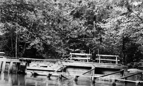
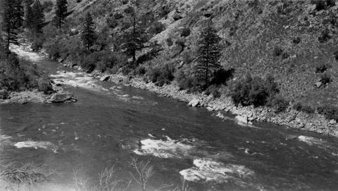
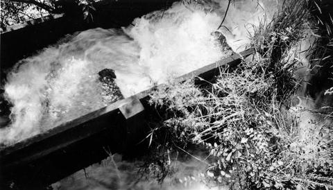
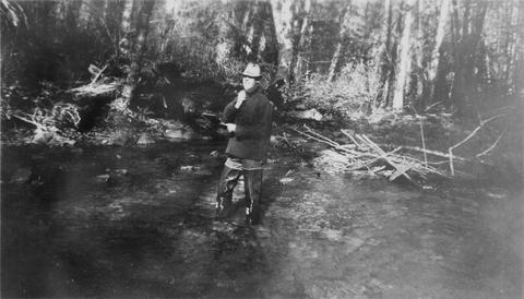
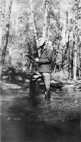
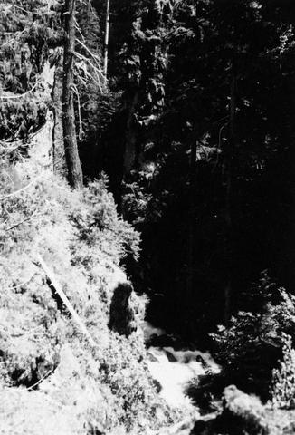
2. [Image] Stream survey
-
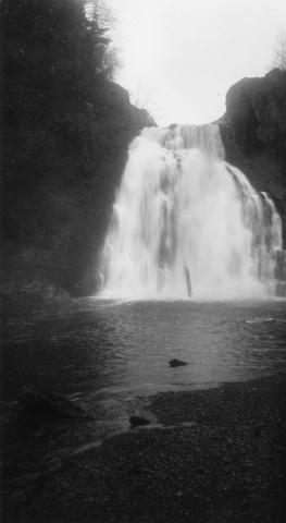
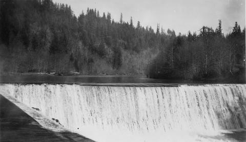
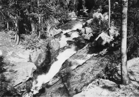
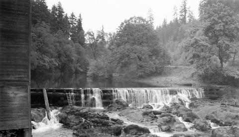
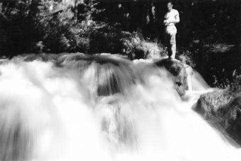
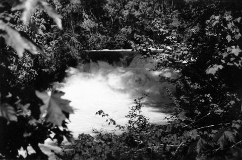
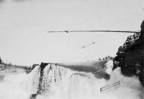
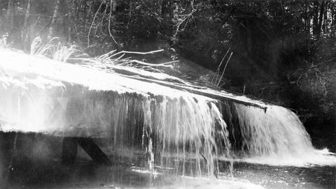
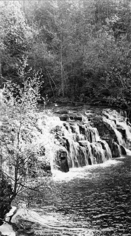
3. [Image] Salt Creek Falls
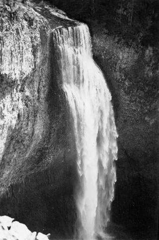 285 foot falls on Salt Creek, tributary to Middle Fork Willamette River;1937-09-10
Citation -
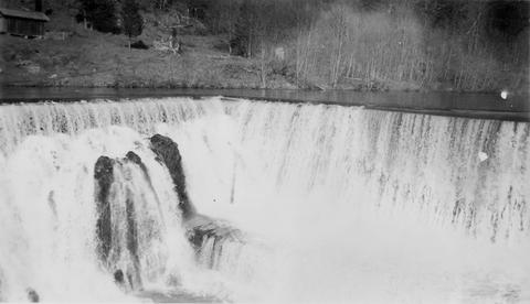
4. [Image] Salt Creek Falls
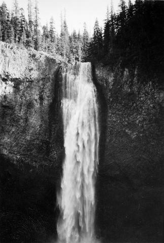 285 foot falls on Salt Creek, tributary to Middle Fork Willamette River;1937-09-10
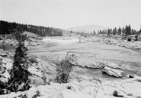
Citation -
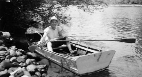
6. [Image] Boat survey
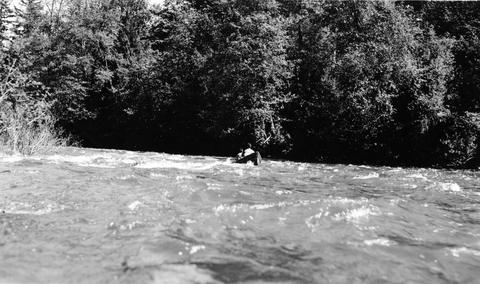 Boat survey on Coast Fork Willamette River near Saginaw, Oregon;1938-06
Citation -
7. [Image] Sunbean Dam
 Upstream side of the Sunbeam Dam. Yankee Fork enters on left from beneath bridge
Citation -
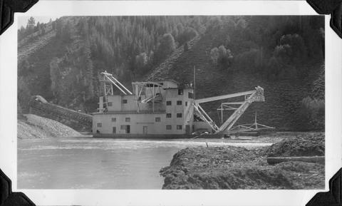
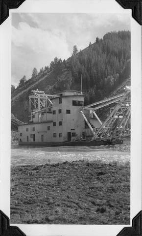
8. [Image] Yankee Fork Dredge
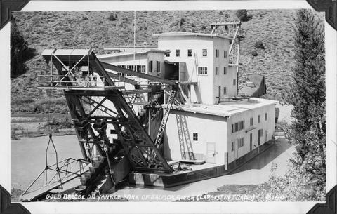 Gold dredge on Yankee Fork of Salmon River It was the largest dredge in Idaho Dredge was reputed to be recovering $10,000 in flour gold each week
Citation -
9. [Image] Snagging for chinook salmon
 Indian snagging for chinook salmon at Kettle Falls
Citation -
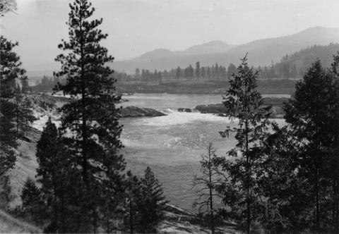
10. [Image] Upper Kettle Falls on the Columbia River
-
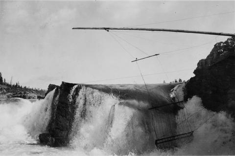
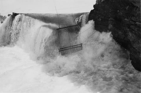
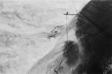
11. [Image] Jump trap at Kettle Falls
 Photo showing "jump trap" at Kettle Falls
Citation -
12. [Image] Fishing for whitefish
 Fishing for whitefish on the Columbia River at Kettle Falls
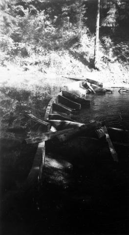
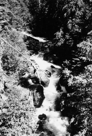
Citation -
14. [Image] Indian jump trap
 Indian "jump-trap" on Kettle Falls for steelhead and salmon
Citation -
15. [Image] Youngs River near Astoria, Oregon
-
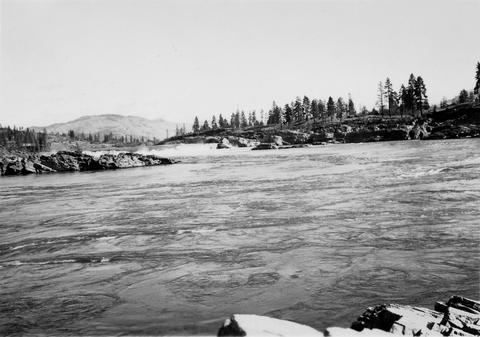
16. [Image] Kettle Falls on the Columbia River
-
17. [Image] Upper Kettle Falls on the Columbia River
-
18. [Image] Jump trap at Kettle Falls
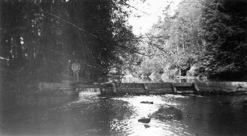
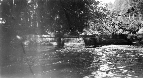
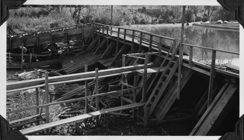
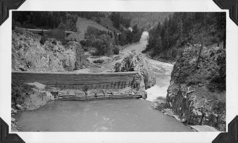
-
19. [Image] Jump trap at Kettle Falls
-
20. [Image] Jump trap at Kettle Falls
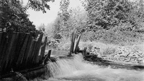
-
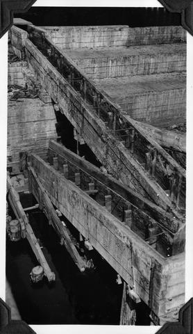
21. [Image] Grande Ronde River
 Looking upstream from bridge at Palmer Junction, Oregon
Citation -
22. [Image] Yankee Fork Dredge
 Gold dredge on Yankee Fork of Salmon River It was the largest dredge in Idaho Dredge was reputed to be recovering $10,000 in flour gold each week
Citation -
23. [Image] Yankee Fork Dredge
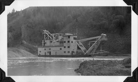 Gold dredge on Yankee Fork of Salmon River It was the largest dredge in Idaho Dredge was reputed to be recovering $10,000 in flour gold each week
Citation -
24. [Image] Yankee Fork Dredge
 Gold dredge on Yankee Fork of Salmon River It was the largest dredge in Idaho Dredge was reputed to be recovering $10,000 in flour gold each week
Citation -
25. [Image] Marmot Dam on the Sandy River
-
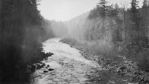
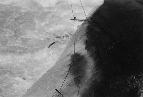
26. [Image] Steelhead jumping the jump trap
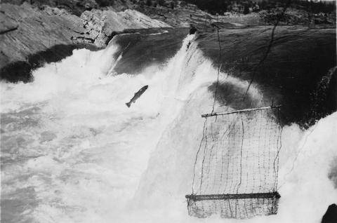 Steelhead jumping the jump trap against Kettle Falls on the Columbia River
Citation -
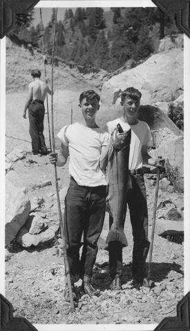
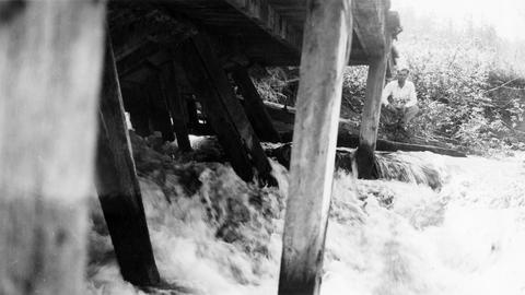
27. [Image] Boys fishing
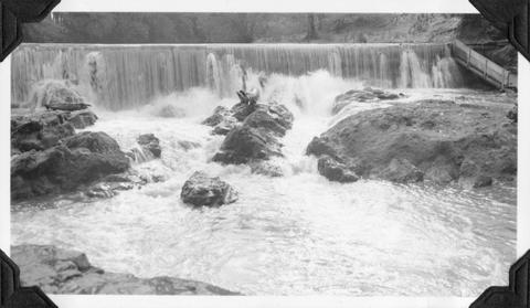
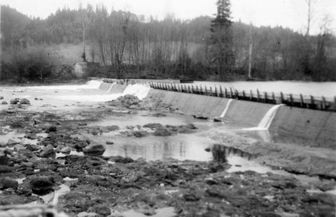
 Landing a 29 1/2" male chinook salmon at Sunbeam Dam on the Salmon River
Citation -
28. [Image] Snagging chinook salmon
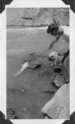 Hauling 38 1/2 inch female chinook salmon from pool below Sunbeam Dam with gaff Fish had been hooked by snagging
Citation -
29. [Image] Yankee Fork Dredge
 Gold dredge on Yankee Fork of Salmon River It was the largest dredge in Idaho Dredge was reputed to be recovering $10,000 in flour gold each week
Citation -
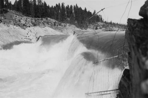
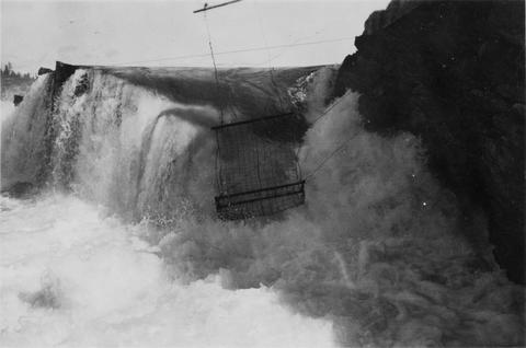
30. [Image] Jump trap at Kettle Falls
 Jump trap at Kettle Falls for steelhead and salmon
Citation -
31. [Image] Entrance of fish ladder on Marmot Dam
-
32. [Image] Boys with salmon
 38 1/2" female chinook salmon, caught by snagging at Sunbeam Dam
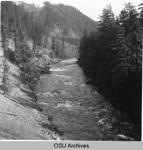
Citation -
33. [Image] Marmot Dam on the Sandy River
-
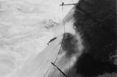
34. [Image] Steelhead jumping Kettle Falls
-
36. [Image] Steelhead jumping Kettle Falls
-
37. [Image] Jump trap at Kettle Falls
-
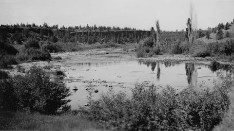
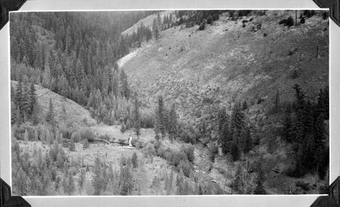
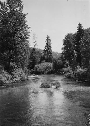
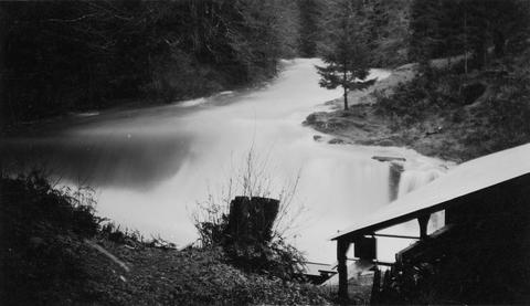
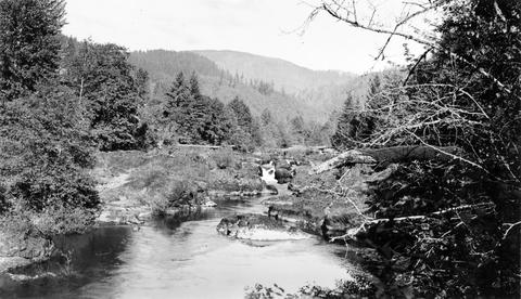
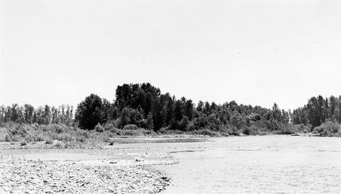
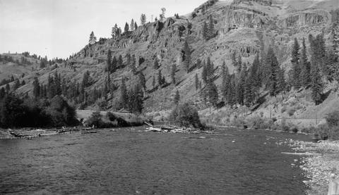
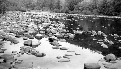
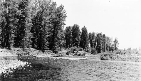
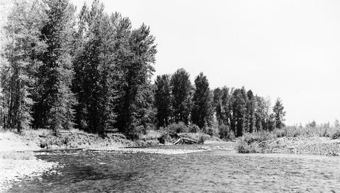
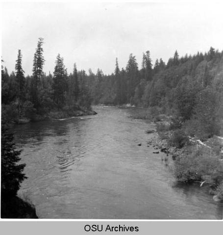
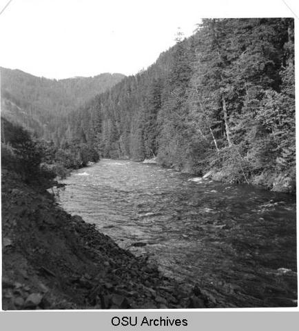
38. [Image] Middle Fork Willamette River
 Middle Fork Willamette River above Tumblebug Creek, end of survey;1938-07
Citation -
39. [Image] Big Redfish Lake Stream, Idaho
-
40. [Image] Big Redfish Lake Stream, Idaho
-
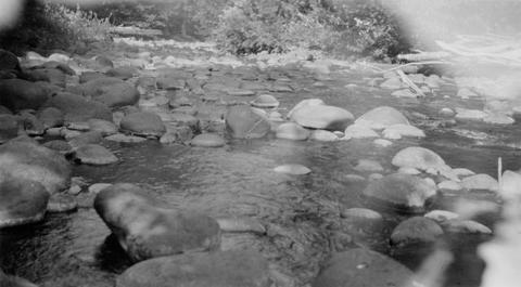
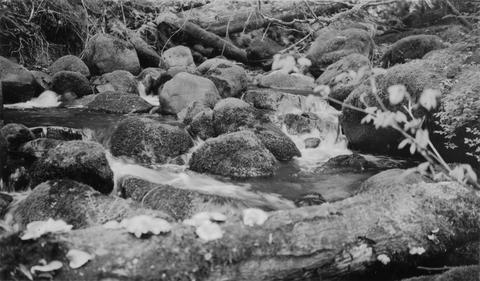
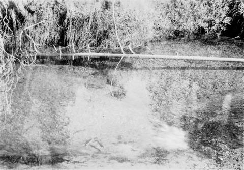
41. [Image] Boulders in stream
-
 The purpose of this Columbia River Stream Survey has been to provide data for evaluation of each stream, or portion of stream, from the standpoint of its present and potential value in relation to the ...
Citation -
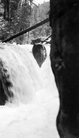
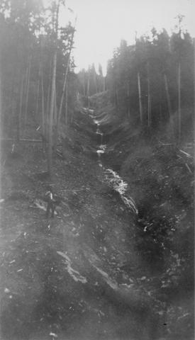
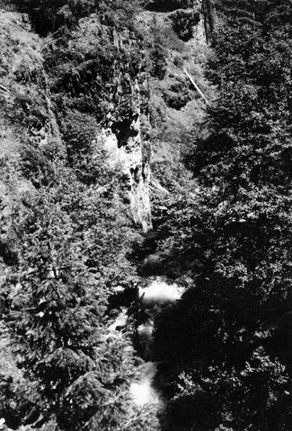
43. [Image] Quartz Creek stream survey
 Quartz Creek is a tributary to the Cispus River
Citation -
44. [Image] Quartz Creek stream survey
 Quartz Creek is a tributary to the Cispus River
Citation -
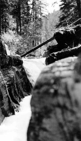
45. [Image] Woods Creek
 Mouth of Woods Creek showing steep gradient and moss-covered boulders in stream bed. It is inaccessible at low water. Woods Creek is a tributary to the Cispus River
Citation -
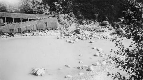
46. [Image] Stream bed above Lebanon
 South Santiam River stream bed above Lebanon, Oregon Large rubble and bedrock were becoming dominant;1940-08-12
Citation -
47. [Image] Boat survey Clackamas River
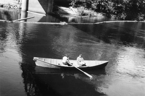 Boat survey on the Clackamas River; 1938-06-28
Citation -
48. [Image] Surveying Yakima River
 Mitch Hanavan at oars and Dick Whiteleather on stream survey of the Yakima River
Citation -
49. [Image] Dam on Milton Creek near St Helens, Oregon
-
50. [Image] Dam on Milton Creek near St Helens, Oregon
-
51. [Image] Dam on Milton Creek near St Helens, Oregon
-
52. [Image] Abandoned dam
 Abandoned dam on the Coast Fork Willamette River; 1938-06-20
Citation -
54. [Image] Cedar Creek Falls
 Birdseye view of Cedar Creek falls and small power developement
Citation -
55. [Image] Silver Falls Creek
 Silver Falls Creek, tributary to the Cispus River
Citation -
56. [Image] Finley Mill Dam
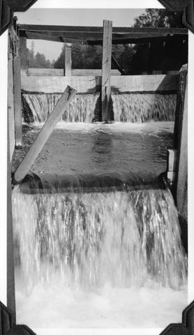
-
57. [Image] Fish screens, head-gates, & by-pass
-
58. [Image] Chinooks on riffle
 Chinook salmon on riffle at Lois Mill on the Molalla River; 1941-09-16
Citation -
59. [Image] Chinooks on riffle
 Chinook salmon on riffle at Lois Mill on the Molalla River; 1941-09-16
Citation -
60. [Image] Stayton power canal by-pass
 Stayton power canal by-pass; 1940-08-06
Citation -
61. [Image] Mouth of North Santiam River
 Mouth of North Santiam River, Oregon; 1940-08-04
Citation -
62. [Image] Finley Feed Mill Dam
-
63. [Image] Mason Creek
-
64. [Image] Dam and fish ladder
-
65. [Image] Dam on Milton Creek near St Helens, Oregon
-
66. [Image] Falls on White Branch
-
67. [Image] Cedar Creek Falls at high water
-
68. [Image] Obstruction on Coast Fork Willamette
 Obstruction on Coast Fork Willamette River near Cottage Grove, Oregon;1938-06
Citation -
69. [Image] Frank Brice Creek
-
70. [Image] Frank Brice Creek falls
-
71. [Image] South Santiam River
 South Santiam River, Oregon Cutaway bank is found below the confluence with Crabtree Creek;1940-08-03
Citation -
72. [Image] Dam and fishway
-
74. [Image] Big Fall Creek
 Big Fall Creek
Citation -
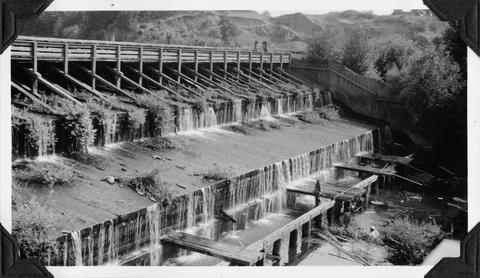
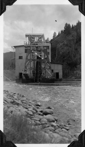
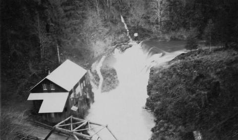
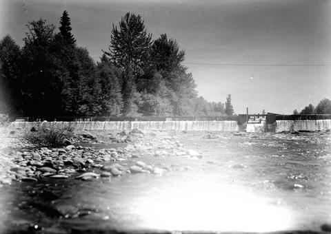
75. [Image] So Santiam River dam
 South Santiam River Dam near Lebanon, Oregon;1938
Citation -
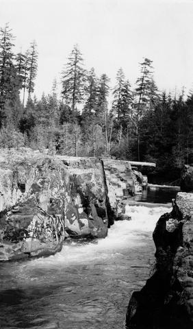
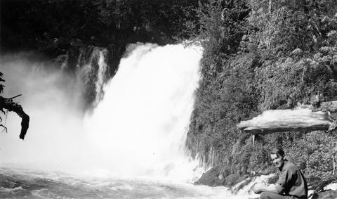
77. [Image] Tamolitch Falls
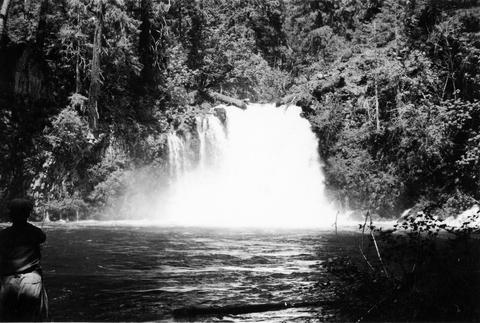 Tamolitch Falls on the McKenzie River The falls are 40 feet high;1937-06-26
Citation -
78. [Image] Impassible log jam on Wilson Creek
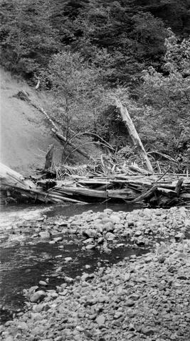 Impassible log jam on Wilson Creek, a tributary of Skamokawa Creek
Citation -
79. [Image] Impassible log jam on Wilson Creek
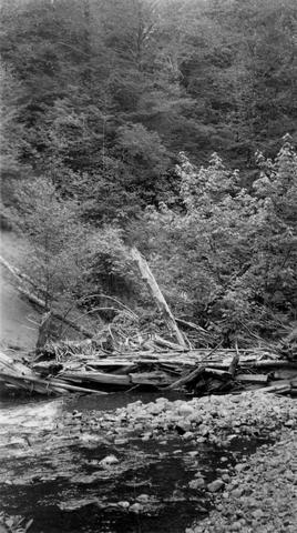 Impassible log jam on Wilson Creek, a tributary of Skamokawa Creek
Citation -
80. [Image] Floyd G Bryant
-
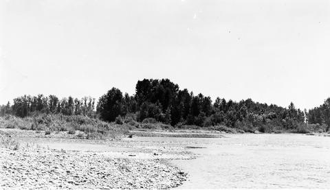
81. [Image] Middle Fork Willamette River
 Middle Fork Willamette River above Tumblebug Creek;1938-07
Citation -
82. [Image] Falls on Beaver Creek
 Upper falls on Beaver Creek which is impassable to fish; 1946-05
Citation -
83. [Image] Middle Fork Willamette River
 Middle Fork Willamette River above Tumblebug Creek;1938-07
Citation -
84. [Image] Mouth of North Santiam River
 Mouth of North Santiam River, Oregon; 1940-08-04
Citation -
86. [Image] Passable river obstruction
 Passable obstruction on Coast Fork Willamette River;1938-06-20
Citation -
87. [Image] Three Lynx Power Plant
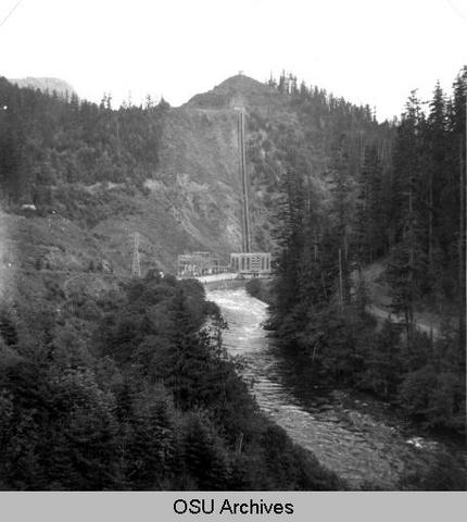 Three Lynx Power Plant, Oregon;1950-06-04
Citation -
89. [Image] Little Red fish on spawning grounds
 Little Red fish on spawning grounds in Alturus Lake Creek
Citation -
90. [Image] Clackamas River
 Clackamas River below River Mill Dam;1950-05-26
Citation -
91. [Image] Clackamas River
 Clackamas River below Fish Creek, Oregon; 1950-05-26
Citation -
92. [Image] Clackamas River
 Clackamas River above Fish Creek, Oregon; 1950-06-04
Citation -
93. [Image] Confluence of North & South Santiam Rivers
-
94. [Image] Confluence of North and South Santiam Rivers
-
96. [Image] Fish ladder
-
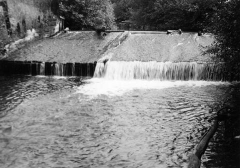
97. [Image] Lebanon Dam
 Lebanon Dam on the South Santiam River with fish ladder
Citation -
98. [Image] McKenzie River lower falls
 Lower falls on the McKenzie River;1938-06
Citation -
99. [Image] Fish ladder without water
-
100. [Image] Fish ladder