Search
You searched for:
Start Over
Historic stream surveys
Remove constraint Historic stream surveys
Database
Oregon Digital
Remove constraint Database: Oregon Digital
« Previous | 631 - 640 of 1,284 | Next »
Search Results
-
631. [Image] Niggerhead Creek valley (Yellowjacket Creek)
 Looking down the lower valley of Niggerhead Creek. Cispus River is at the base of Spud Mountain in the background
Citation -
632. [Image] Irrigation Dam
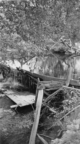 Irrigation dam on Crooked Creek. There is no fish ladder present
Citation -
633. [Image] Stratified sandstone on Coal Creek
 Stratified sandstone Coal Creek, a tributary to the Columbia River
Citation -
635. [Image] Falls in Tualatin River
 Falls in Tualatin River 3-4 miles above Cherry Grove, Oregon; 1940-09-15 From Album 1 page 39
Citation -
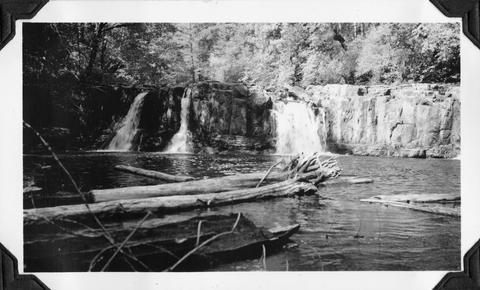
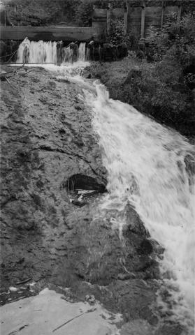
636. [Image] Sulphur Creek Falls
 Downstream view from horse bridge at head end of falls
Citation -
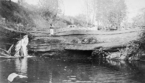
637. [Image] Sulphur Creek bedrock chute
 12 ft impassable bedrock chute short distance above highway bridge This is topped by a 6 ft dam
Citation -
638. [Image] Intake at Leaburg Power Plant
 Intake of Leaburg Power Plant on the McKenzie River; 1938-06
Citation -
639. [Image] Chinook salmon-River Mill
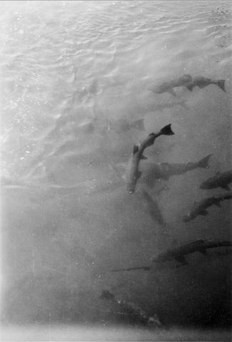 Chinook- River Mill tail-race, Clackamas River, Oregon; 1938-06-28
Citation -
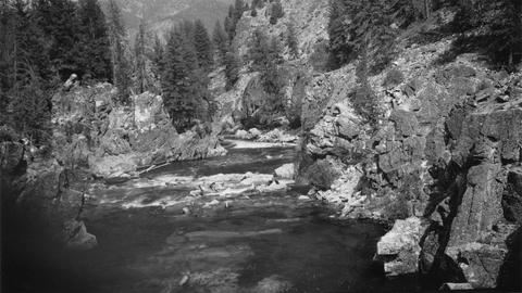
640. [Image] Niggerhead Creek (Yellowjacket Creek)
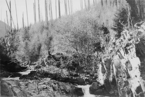 Passable falls and cascades on Niggerhead Creek
Citation
