Search
You searched for:
Start Over
Historic stream surveys
Remove constraint Historic stream surveys
Database
Oregon Digital
Remove constraint Database: Oregon Digital
« Previous | 61 - 80 of 1,284 | Next »
Search Results
-
61. [Image] Mouth of North Santiam River
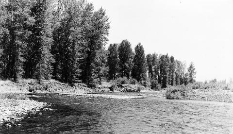 Mouth of North Santiam River, Oregon; 1940-08-04
Citation -
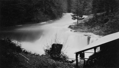
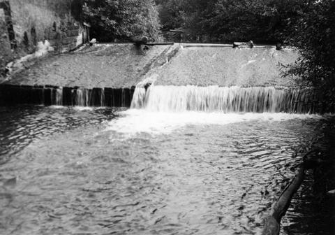
62. [Image] Finley Feed Mill Dam
-
63. [Image] Mason Creek
-
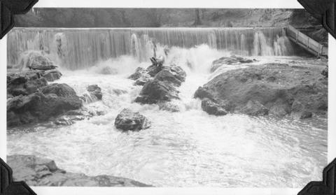
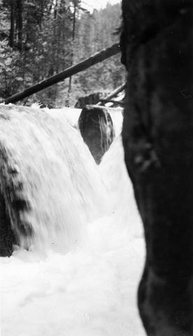
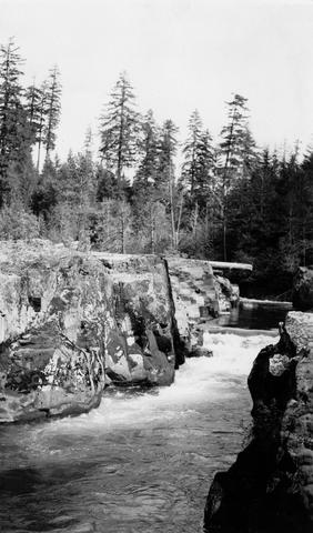
64. [Image] Dam and fish ladder
-
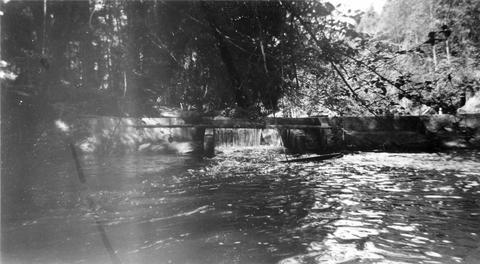
65. [Image] Dam on Milton Creek near St Helens, Oregon
-
66. [Image] Falls on White Branch
-
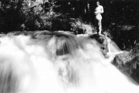
67. [Image] Cedar Creek Falls at high water
-
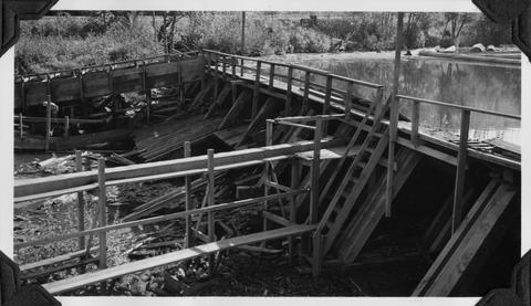
68. [Image] Obstruction on Coast Fork Willamette
 Obstruction on Coast Fork Willamette River near Cottage Grove, Oregon;1938-06
Citation -
69. [Image] Frank Brice Creek
-
70. [Image] Frank Brice Creek falls
-
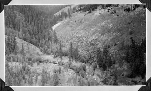
71. [Image] South Santiam River
 South Santiam River, Oregon Cutaway bank is found below the confluence with Crabtree Creek;1940-08-03
Citation -
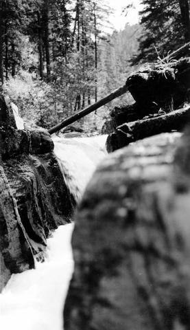
72. [Image] Dam and fishway
-
74. [Image] Big Fall Creek
 Big Fall Creek
Citation -
75. [Image] So Santiam River dam
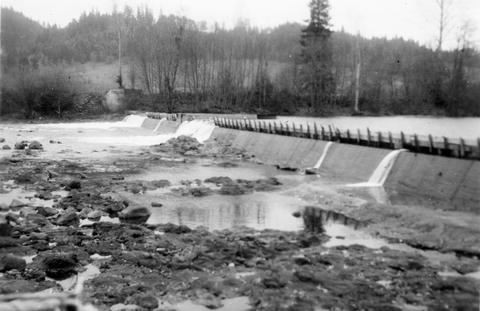 South Santiam River Dam near Lebanon, Oregon;1938
Citation -
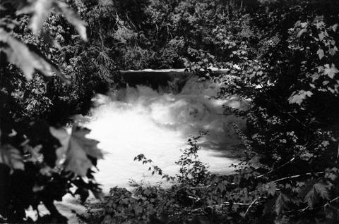
77. [Image] Tamolitch Falls
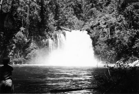 Tamolitch Falls on the McKenzie River The falls are 40 feet high;1937-06-26
Citation -
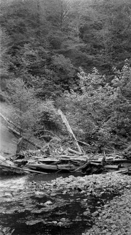
78. [Image] Impassible log jam on Wilson Creek
 Impassible log jam on Wilson Creek, a tributary of Skamokawa Creek
Citation -
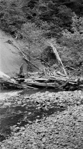
79. [Image] Impassible log jam on Wilson Creek
 Impassible log jam on Wilson Creek, a tributary of Skamokawa Creek
Citation -
80. [Image] Floyd G Bryant