Search
You searched for:
Start Over
Land use history
Remove constraint Land use history
Database
Oregon Digital
Remove constraint Database: Oregon Digital
« Previous | 301 - 400 of 1,218 | Next »
Search Results
-
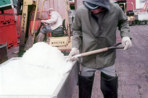
301. [Image] OIMB slide 5093
 commercial fisherman working
Citation -
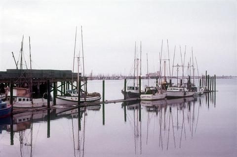
302. [Image] OIMB slide 5150
 commercial fishing boats
Citation -
303. [Image] OIMB slide 5104
 commercial fishermen rockfish trawling
Citation -
304. [Image] OIMB slide 4978
 pulp mill
Citation -
305. [Image] OIMB slide 5053
 boat ramp
Citation -
306. [Image] OIMB slide 4979
 Coos Head Pulp Mill
Citation -
307. [Image] OIMB slide 4966
 Pierce Lumber Co.
Citation -
308. [Image] OIMB slide 4783
 dredge named Chester Harding
Citation -
309. [Image] OIMB slide 4780
 claw of dredging derrick
Citation -
310. [Image] OIMB slide 4784
 U.S. Corps of Engineers dredge
Citation -
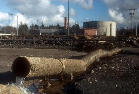
311. [Image] OIMB slide 4730
 Georgia Pacific drainage into Isthmus Slough
Citation -
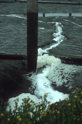
312. [Image] OIMB slide 4727
 drain water entering small boat basin
Citation -
313. [Image] OIMB slide 4735
 sewage treatment plant and surroundings
Citation -
314. [Image] OIMB slide 4457
 Empire and sewage treatment plant
Citation -
315. [Image] OIMB slide 5192
 ice for fish processing at Pacific Choice
Citation -
316. [Image] OIMB slide 4880
 seed tree
Citation -
317. [Image] OIMB slide 4869
 seedling
Citation -
318. [Image] OIMB slide 4975
 log slip at Coos Head Pulp Mill
Citation -
319. [Image] OIMB slide 4977
 sulfite foam with Coos Head Pulp Mill in background
Citation -
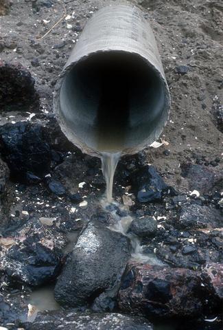
320. [Image] OIMB slide 4974
 Liquor outfall to the bay from Coos Head Pulp Mill
Citation -
321. [Image] OIMB slide 4621
 waterfront buildings
Citation -
322. [Image] OIMB slide 4618
 residential scene
Citation -
323. [Image] OIMB slide 4674
 looking across Coos Bay from Telegraph Hill
Citation -
324. [Image] OIMB slide 4650
 man working on ship hull
Citation -
325. [Image] OIMB slide 4670
 docks with residential hills in background
Citation -
326. [Image] OIMB slide 4997
 logs entering sawmill
Citation -
327. [Image] OIMB slide 4946
 Menasha effluent pond at North spit
Citation -
328. [Image] OIMB slide 4995
 log mill - log infeed system
Citation -
329. [Image] OIMB slide 4947
 Menasha effluent pond at North spit
Citation -
330. [Image] OIMB slide 4994
 Coos Head Pulp Mill - logs in log pond
Citation -
331. [Image] OIMB slide 4993
 Coos Head Pulp Mill - log pond
Citation -
332. [Image] OIMB slide 4607
 Hwy 101 with railroad tracks and waterfront
Citation -
333. [Image] OIMB slide 4625
 Hwy 101 and downtown
Citation -
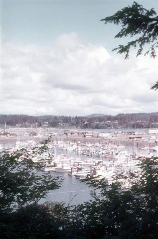
334. [Image] OIMB slide 4661
 Bay and waterfront
Citation -
335. [Image] OIMB slide 4662
 train on tracks
Citation -
336. [Image] OIMB slide 4668
 downtown boardwalk
Citation -
337. [Image] OIMB slide 4813
 bumber sticker saying ""Clearcutting Kills Salmon - Support Alternative Logging Practices""
Citation -
338. [Image] OIMB slide 4498
 concrete blocks on waterfront
Citation -
339. [Image] OIMB slide 4559
 old building and old sewer outfall
Citation -
340. [Image] OIMB slide 5152
 docks
docksCitation -
341. [Image] OIMB slide 5153
 fishing boats
Citation -
342. [Image] OIMB slide 5116
 fishing boats in dry dock
Citation -
343. [Image] OIMB slide 5080
 commercial fishing nets
Citation -
344. [Image] OIMB slide 4930
 Cape Arago Mill with wood pile and wood debris
Citation -
345. [Image] OIMB slide 5035
 Japanese chip freighter arriving
Citation -
346. [Image] OIMB slide 5032
 log ship ""Aqua City"" and raw logs
Citation -
347. [Image] OIMB slide 4870
 clear cut, small stream and old logging road
Citation -
348. [Image] OIMB slide 4878
 foxglove and old logging road by clear cut
Citation -
349. [Image] OIMB slide 4767
 rusted wreckage of ship ""Alaska Cedar"" from 1962
Citation -
350. [Image] OIMB slide 4768
 debris around trailer park
Citation -
351. [Image] OIMB slide 4766
 rusted wreckage of ship ""Alaska Cedar"" from 1962
Citation -
352. [Image] OIMB slide 4617
 Hwy 101
Citation -
353. [Image] OIMB slide 4616
 Hwy 101
Citation -
354. [Image] OIMB slide 4569
 waterfront and log cribs
Citation -
355. [Image] OIMB slide 4619
 waterfront and parking area
Citation -
356. [Image] OIMB slide 4567
 photo of news article
Citation -
357. [Image] OIMB slide 4523
 McCullough bridge
Citation -
358. [Image] OIMB slide 4530
 Coos Bay from cemetery
Citation -
359. [Image] OIMB slide 4568
 railroad tracks and pastureland
Citation -
360. [Image] OIMB slide 4573
 Hwy 101 downtown Coos Bay
Citation -
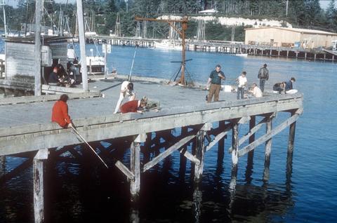
361. [Image] OIMB slide 4434
 fishing pier
Citation -
362. [Image] OIMB slide 4435
 boat basin
Citation -
363. [Image] OIMB slide 4526
 waterfront scene and log rafts
Citation -
364. [Image] OIMB slide 4560
 Souse Bros. Dock
Citation -
365. [Image] OIMB slide 4563
 central dock
Citation -
366. [Image] OIMB slide 4564
 two Souse Bros. tugs docked
Citation -
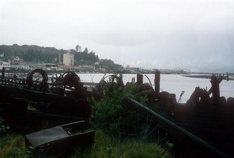
367. [Image] OIMB slide 4762
 garbage at edge of bay
Citation -
368. [Image] OIMB slide 4991
 Coos Head Pulp Mill
Citation -
369. [Image] OIMB slide 4990
 Coos Head Pulp Mill
Citation -
370. [Image] OIMB slide 4963
 Closed Georgia Pacific saw mill
Citation -
371. [Image] OIMB slide 4789
 dredge filling
Citation -
372. [Image] OIMB slide 4987
 Coos Head Pulp Mill - Sitka dock
Citation -
373. [Image] OIMB slide 4986
 Coos Head Pulp Mill - closed down in 1971
Citation -
374. [Image] OIMB slide 4964
 Georgia Pacific plywood glue pond and overflow
Citation -
375. [Image] OIMB slide 5123
 Russian fishing trawler
Citation -
376. [Image] OIMB slide 5121
 fishing boat being worked on in dry dock
Citation -
377. [Image] OIMB slide 5120
 fishing boat being worked on in dry dock
Citation -
378. [Image] OIMB slide 4612
 Hwy 101 and ship
Citation -
379. [Image] OIMB slide 4596
 ship and chip pile
Citation -
380. [Image] OIMB slide 4613
 Hwy 101 and chip pile
Citation -
381. [Image] OIMB slide 5162
 Chucks Seafood - market
Citation -
382. [Image] OIMB slide 4594
 chip pile
Citation -
383. [Image] OIMB slide 4839
 Kentuck Creek 1/8 mile below clear cut operation
Citation -
384. [Image] OIMB slide 4592
 boat and buildings
Citation -
385. [Image] OIMB slide 4590
 buildings and boat
Citation -
386. [Image] OIMB slide 4807
 illegal fill
Citation -
387. [Image] OIMB slide 4591
 downtown and Hwy 101
Citation -
388. [Image] OIMB slide 4593
 Hwy 101 with railroad tracks and chip pile
Citation -
389. [Image] OIMB slide 4595
 Hwy 101 with railroad tracks and chip pile
Citation -
390. [Image] OIMB slide 4475
 forest and diked pasture
Citation -
391. [Image] OIMB slide 4476
 view upstream with Marine Ecology class
Citation -
392. [Image] OIMB slide 4478
 Kentuck Golf Course billboard
Citation -
393. [Image] OIMB slide 4506
 property overlooking bay
Citation -
394. [Image] OIMB slide 4793
 filling of Pony Slough
Citation -
395. [Image] OIMB slide 4792
 filling of Pony Slough
Citation -
396. [Image] OIMB slide 4794
 filling of Pony Slough
Citation -
397. [Image] OIMB slide 4896
 log rafts in cribs
Citation -
398. [Image] OIMB slide 4899
 logs in cribs on river
Citation -
399. [Image] OIMB slide 4944
 Illegal fill at Jordan Cove from Menasha
Citation -
400. [Image] OIMB slide 4898
 logs in cribs on river
Citation