Search
You searched for:
Start Over
Historic stream surveys
Remove constraint Historic stream surveys
Material Types
Image
Remove constraint Material Types: Image
« Previous | 401 - 500 of 1,627 | Next »
Search Results
-
401. [Image] Big Redfish Lake, Idaho
-
402. [Image] Grande Ronde River
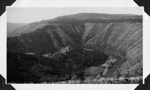 Grande Ronde River near Troy, Oregon
Citation -
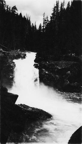
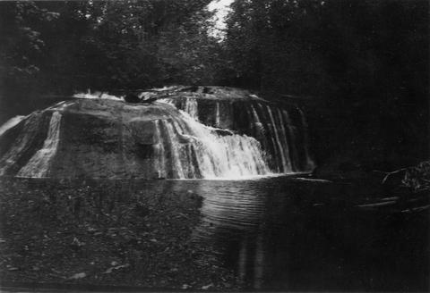
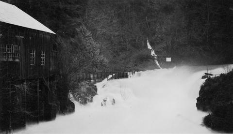
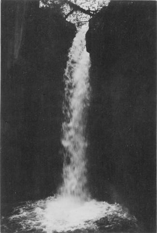
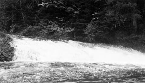
403. [Image] Upper falls on upper Ohanofrecork
-
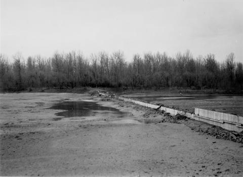
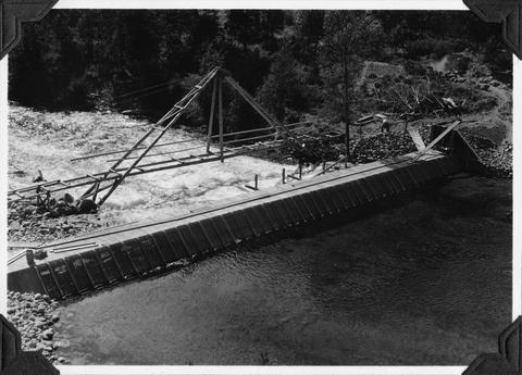
404. [Image] Sandy River diversion dam before repair
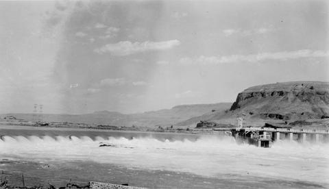
-
405. [Image] Rock Island Dam
-
406. [Image] Fish hatchery dam above Union, Oregon
-
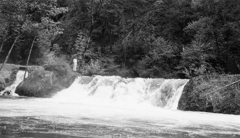
407. [Image] Monahan Creek falls
-
408. [Image] Monahan Creek falls
-
409. [Image] Lewiston Dam weir
-
410. [Image] Rock Island Dam
-
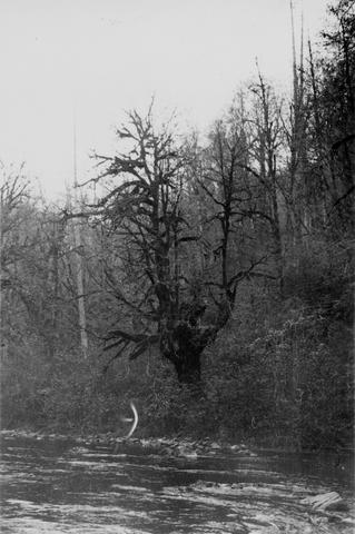
411. [Image] Dense, damp vegetation along Tilton River
-
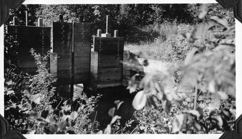
412. [Image] Entiat River weir
 Weir under construction during Spring 1939
Citation -
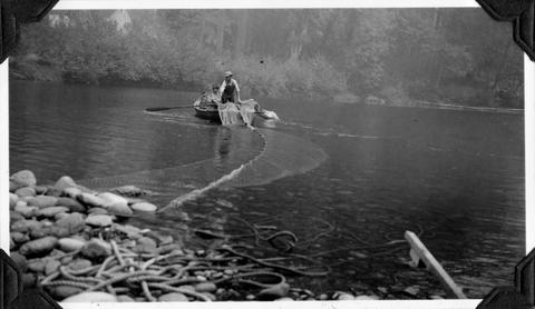
413. [Image] Racking net from trucks
-
414. [Image] Racking net from truck near Ilwaco, Washington
-
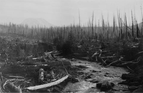
415. [Image] Upper portion of Abernathy Creek
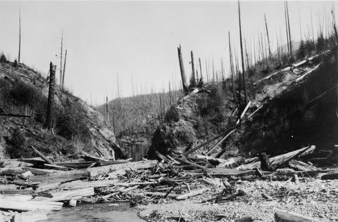
 Upper portion of Abernathy Creek showing burned off area which left erosion and destruction
Citation -
416. [Image] Pile trap on Sand Island
-
417. [Image] Rock Island Dam
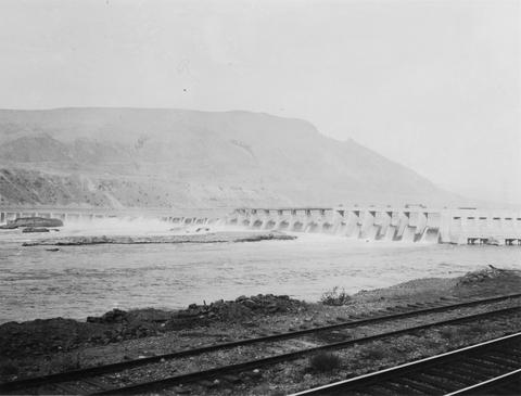 Rock Island Dam on the Columbia River
Citation -
418. [Image] View of Columbia River
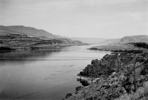 Looking up the Columbia River from the Oregon side near Bigg's Ferry
Citation -
419. [Image] Mending gill nets in Ilwaco
-
421. [Image] Two-man stern picker gill net boat
-
422. [Image] Rock Island Dam north trap
-
423. [Image] Loading fish truck
 Left trap at Rock Island Dam
Citation -
424. [Image] Falls on Cat Creek
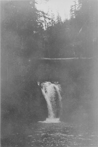
 Falls on Cat Creek, tributary to the Cispus River, 1/4 mile above the mouth. Lower falls is 4 feet high and the upper falls is 10 feet high
Citation -
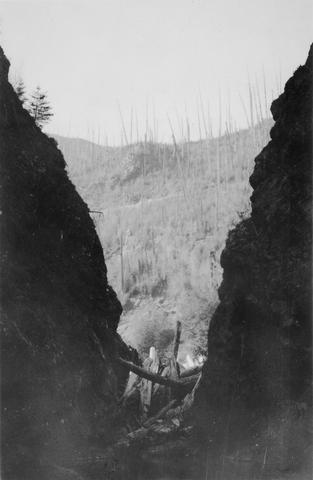
425. [Image] Impassable bedrock chute
 Impassable bedrock chute on North Fork Cispus River near Timonium Creek. Drops 25 feet in 60 feet. There are no pools
Citation -
426. [Image] Timonium Creek falls
 75 foot series of falls on Timonium Creek near its confluence with the North Fork of the Cispus River. Indicates terrific flood stages
Citation -
427. [Image] Dam near Cottage Grove
 Dam near Cottage Grove, Oregon, on the Coast Fork Willamette River;1938-06-20
Citation -
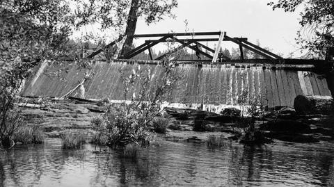
428. [Image] Dam on Roaring Creek
-
429. [Image] Obstruction on Coast Fork Willamette
 Obstruction on Coast Fork Willamette River Ladder has broken down;1938-06
Citation -
430. [Image] Salem Ditch dam
 Dam in Salem Ditch which is part of the North Santiam River system;1940-08-09
Citation -
431. [Image] Dam site above Mayflower Creek
 Dam site above Mayflower Creek on the North Santiam River in Oregon; 1940-08-12
Citation -
432. [Image] Dam site above Mayflower Creek
 Dam site above Mayflower Creek on the North Santiam River in Oregon; 1940-08-12
Citation -
433. [Image] Foot of Cazadero Dam
 Chinook salmon at foot of Cazadero Dam on Clackamas River; 1940-08-23
Citation -
434. [Image] Mill Creek mill dam
 Mill Creek mill dam Mill Creek is a tributary to the Mohawk River;1938-06-20
Citation -
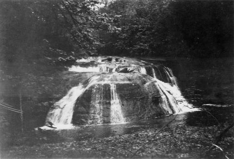
435. [Image] Cedar Creek Falls
 Powerflume, fish-ladder and mill at high-water stage on Cedar Creek Falls
Citation -
436. [Image] Cedar Creek Falls
 Cedar Creek Falls at high-water stage near Hall, Washington
Citation -
437. [Image] Warm Springs Creek
 Warm Springs Creek tributary to Loon Creek, Idaho. Box canyon shown a short distance above Mahoney Creek confluence
Citation -
438. [Image] Muddy Fork of Cispus River
 Muddy Fork of Cispus River which flows at 10 seconds per foot and is 20 feet wide. Mt Adams is in left background [Print is reversed]
Citation -
439. [Image] Mouth of East Canyon Creek
 Mouth of East Canyon Creek, a tributary to Cispus River, showing a 30 foot log jam
Citation -
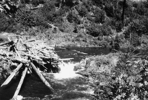
440. [Image] Niggerhead Creek log jam (Yellowjacket Creek)
 Looking down at upper end of big log jam on Niggerhead Creek
Citation -
442. [Image] Niggerhead Creek falls (Yellowjacket Creek)
 Falls on Niggerhead Creek 4 miles above road. The falls are 25 feet high
Citation -
443. [Image] Upper concrete dam
 Upper concrete dam in South Santiam River 2 1/2 miles above Lebanon, Oregon The Lebanon power diversion takes off a short distance above this dam on the right side;1940-08-14 From Album 1 page 10
Citation -
444. [Image] South Fork McKenzie River
 South Fork McKenzie River drainage above Frissel Crossing;1938-07
Citation -
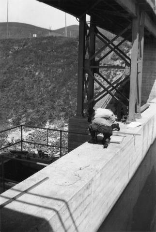
445. [Image] Writing up notes
 Baltzo and Kolloen writing up notes in Forest Camp at Horse Creek, a tributary of the McKenzie River;1937-08-19
Citation -
446. [Image] Falls on Canal Fork
 Falls on Canal Fork near the confluence with Middle Santiam River;1938
Citation -
447. [Image] Obtaining salmon eggs
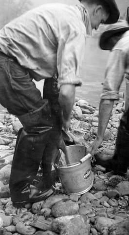 Photo shows Archie Anderson and an assistant obtaining eggs from gravid chinook salmon by slitting belly at the salmon hatchery on the Middle Fork of the Santiam River near Foster, Oregon; 1940-09-25
Citation -
448. [Image] South Santiam River
 South Santiam River above the mouth of Mark's Slough showing how very little water gets by the lower wooden dam where the Albany power ditch arises The white streak in the background is the sewage from ...
Citation -
449. [Image] Headgates of power ditch
 Headgates of power ditch (shown faintly on left side of photo) taking off above Willamina Dam The dam is located on Willamina Creek, a tributary of the South Yamhill River, near Willamina, Oregon; 194...
Citation -
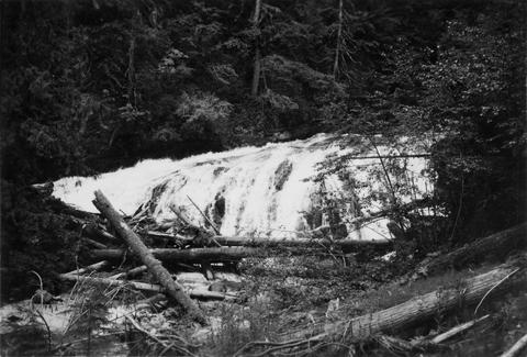
450. [Image] Falls on Goat Creek
 35 foot falls on Goat Creek, located 530 yards above its confluence with the Cowlitz River
Citation -
451. [Image] Lake Creek falls
 25 foot falls on Lake Creek two mile above its mouth. Lake Creek is the outlet of Packwood Lake in the Cowlitz River system
Citation -
452. [Image] South Santiam River
 South Santiam River channel above Lebanon, Oregon Large rubble and bedrock is becoming dominant; 1940-08-12 From Album 1 page 8
Citation -
453. [Image] South Santiam River
 South Santiam River, Oregon Good C1 riffle 1600 yards above confluence with Crabtree Creek;1940-08-04
Citation -
454. [Image] Spillway into Mark's Slough
 Spillway near Lebanon, Oregon, into Mark's Slough from the Albany Power Ditch just before it passes through the Crown-Willamette Paper Company property The water flushes out Mark's Slough, which receives ...
Citation -
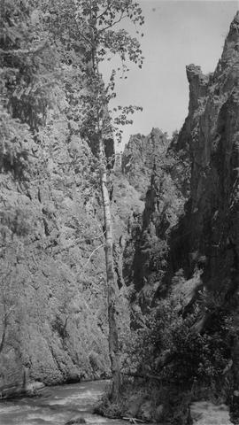
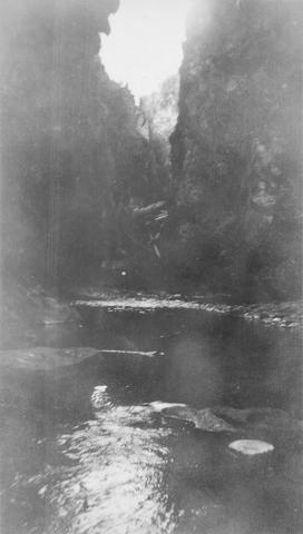
456. [Image] Marble Creek
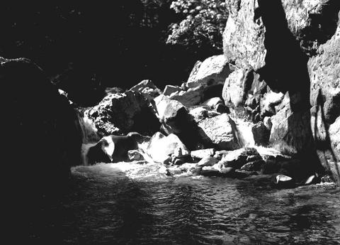
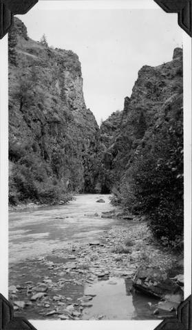 Looking upstream into the Marble Creek box canyon about 5 miles above the mouth
Citation -
457. [Image] Deer Horn Creek area
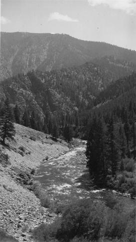 Looking downstream in Middle Fork Salmon River Valley below Deer Horn Creek. Greyhound Creek enters in background on right
Citation -
458. [Image] North Santiam River
 Looking downstream on the North Santiam River from the railroad bridge near Mill City, Oregon; 1940-08-06
Citation -
459. [Image] Jack Creek dam
 Jack Creek is a tributary of Metolius River. Upper dam is found at S31, T12S, R9E
Citation -
460. [Image] Middle Santiam Hatchery
 Middle Santiam Salmon Hatchery with spring chinooks in holding pond with approximately 1000 fish; 1940-08-14 Photograph from Album 1 page 48
Citation -
461. [Image] Long Tom River mill dam
 Mill dam in the Long Tom River above Noti, Oregon Impassable at present water;1938
Citation -
462. [Image] Stunning salmon
 Archie Anderson is stunning chinooks with blow on heads before collecting eggs and milt at the Middle Santiam Hatchery; 1940-09-25 Photograph from Album 1 page 48
Citation -
463. [Image] Silver Creek
 Silver Creek near Salem, Oregon; 1938
Citation -
464. [Image] Inspecting log jam
 Floyd Bryant inspecting big log jam above Dollar, Oregon, on the Calapooia River It is impassable;1941-10-02
Citation -
465. [Image] Bottom of fishway
 Bottom of fishway over lumber mill dam at Carlton, Oregon, on the North Yamhill River;1940-08-24 Photograph from Album 1 page 44
Citation -
466. [Image] Fish ladder on Willamina Creek
-
467. [Image] Chinooks at Cazadero Dam
 Chinook salmon blocked at the foot of Cazadero Dam on the Clackamas River; 1940-08-23
Citation -
468. [Image] Fish ladder near Willamina, Oregon
-
469. [Image] Power plant tail-race
 Power plant tail-race and mouth of fish ladder at the River Mill Power Plant on the Clackamas River;1940-08-23
Citation -
470. [Image] Salmon Creek Falls
 Salmon Creek Falls, part of Middle Fork Willamette River system in Oregon;1937-09
Citation -
471. [Image] Salmon Creek Falls
 Salmon Creek Falls, Oregon Salmon Creek is part of Middle Fork Willamette River system;1937-09
Citation -
472. [Image] Dam and fish ladder near Glenwood
 Consolidated Lumber Company's dam and fish ladder near Glenwood, Oregon, on Gales Creek, a tributary of the Tualatin River; 1940-09-21
Citation -
473. [Image] Lumber mill dam
 Lumber mill dam on Gales Creek, a tributary of the Tualatin River The Consolidated Lumber Company dam is located above the town of Glenwood; 1940-09-21
Citation -
474. [Image] Upper dam above Stayton
 Upper dam above Stayton, Oregon, on the North Santiam River;1940-08-08
Citation -
475. [Image] Mill City mill dam
 Mill City, Oregon, mill dam located on the North Santiam River; 1940-08-11
Citation -
476. [Image] Salmon Creek Falls
 Right-hand side of Salmon Creek Falls, tributary to Middle Fork Willamette River;1937-09
Citation -
477. [Image] Sawmill diversion
 Sawmill diversion from Mill City, Oregon, mill dam located on the North Santiam River ; 1940-08-13
Citation -
478. [Image] Salmon Creek Falls
 Left-hand side of Salmon Creek Falls, tributary to Middle Fork Willamette River;1937-09
Citation -
479. [Image] Seining chinooks
 Seining ripe chinooks from spawning riffle with Archie Anderson and assistant at the Middle Santiam Hatchery; 1940-09-25 Photograph from Album 1 page 48
Citation -
481. [Image] Dam for lumber flume diversion
 Impassable dam for lumber flume diversion on Lost Creek, tributary to Middle Fork Willamette River;1938-06-10
Citation -
482. [Image] Mill dam on Hills Creek
 Ten foot, impassable, abandoned mill dam on Hills Creek, tributary to Middle Fork Willamette River;1937-09-11
Citation -
483. [Image] Mill dam on Hills Creekre
 Ten foot, impassable, abandoned mill dam on Hills Creek, tributary to Middle Fork Willamette River;1937-09-11
Citation -
484. [Image] Mill dam in Lost Creek
 Impassable mill dam in Lost Creek, tributary to Middle Fork Willamette River;1938-06-10
Citation -
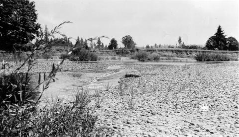
485. [Image] Crooked River
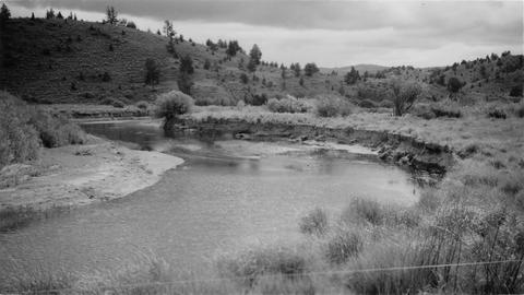 Typical section of stream near Post, Oregon
Citation -
486. [Image] Dam board in fish ladder
 Coast Fork Willamette River above Cottage Grove, Oregon, showing dam board in poor fish ladder;1938-06
Citation -
487. [Image] Dry fish ladder
 Dry fish ladder at Mountain States Power Plant at Stayton, Oregon (Chinooks fighting tailrace);1940-08-11
Citation -
488. [Image] Sharps Creekrevi
 Sharps Creek, tributary to Row River;1938-06-01
Citation -
489. [Image] Squaw Creek
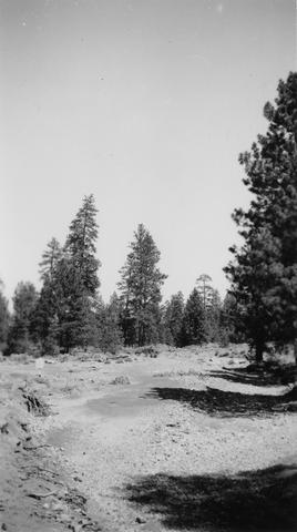 Squaw Creek near bridge on Santiam Highway. River is entirely dry because of irrigation
Citation -
490. [Image] Pool in Sharps Creek
 ST pool in Sharps Creek;1938-06-01
Citation -
491. [Image] Pool in Sharps Creek
 ST pool in Sharps Creek;1938-06-01
Citation -
492. [Image] Mosby Creek
 Mosby Creek at Taylor Bridge;1938-06-15
Citation -
493. [Image] Jack Creek dam
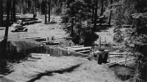 Jack Creek is a tributary of Metolius River. Upper dam is found at S31, T12S, R9E
Citation -
494. [Image] Mt States Power Co ladder
 Mountain States Power Company fish ladder;1940-08-09
Citation -
495. [Image] Upstream from Hartman Dam
 Upstream from Hartman Dam located on Butte Creek; 1940-09-22
Citation -
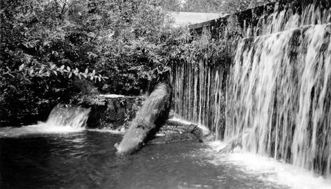
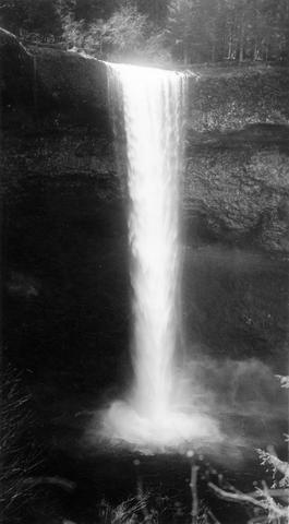
496. [Image] Silver Creek Falls
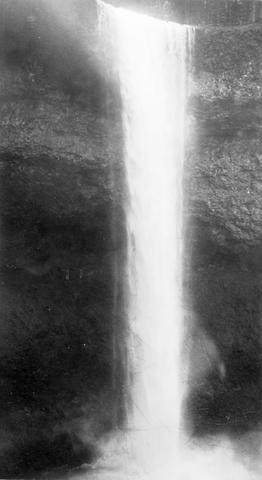 Silver Creek Falls, Oregon; 1938
Citation -
497. [Image] Silver Creek
 Silver Creek near Salem, Oregon; 1938
Citation -
498. [Image] Niggerhead Creek log jam (Yellowjacket Creek)
 Lower end of big log jam in box canyon on Niggerhead Creek. It is a barrier to fish at this point. The Creek is 35 feet wide and the jam is 25 feet high
Citation -
499. [Image] Salmon Creek Falls
 Right-hand half of Salmon Creek Falls with the left-hand partly showing;1937-09-01
Citation -
500. [Image] Salmon Creek Falls
 Ten foot impassable falls on Salmon Creek, tributary to Middle Fork Willamette River Photo shows left-hand side of falls;1937-09-01
Citation