Search
You searched for:
Start Over
Historic stream surveys
Remove constraint Historic stream surveys
Material Types
Image
Remove constraint Material Types: Image
« Previous | 201 - 300 of 1,627 | Next »
Search Results
-
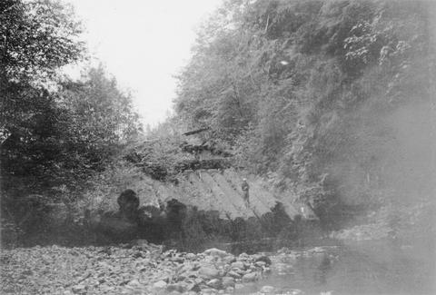
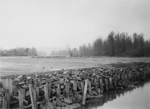
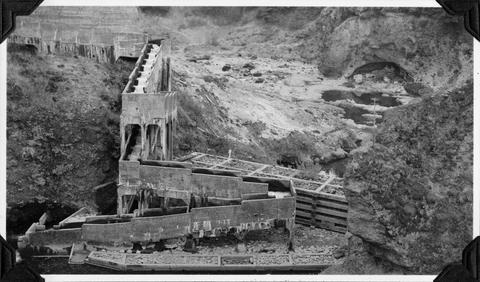
201. [Image] Remains of hatchery traps on Chinook Creek
-
202. [Image] Catherine Creek diversion dam
 Diversion dam for flour mill at Union, Oregon
Citation -
203. [Image] Gordon Creek rearing pong site
 Rearing pond site at mouth of Gordon Creek, tributary to Sandy River
Citation -
204. [Image] Gordon Creek rearing pong site
 Rearing pond site at mouth of Gordon Creek, tributary to Sandy River
Citation -
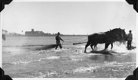
205. [Image] Gill net boats
 Gill net boats on the Columbia River near Ilwaco (Washington)
Citation -
206. [Image] Entiat weir under construction
-
207. [Image] One-man gill net boat
 One-man gill net boat with power roller on the Columbia River
Citation -
208. [Image] Chinooks near Wenatchee River fish dump
-
209. [Image] Tide gates at mouth of Chinook Creek
-
210. [Image] Rock Island Dam power plant and gates
-
211. [Image] Rock Island dam central spillway
-
212. [Image] Dead Chinook fingerlings
-
213. [Image] Showering at the hot springs
 Frey and Bryant taking shower at warm springs just above box canyon
Citation -
214. [Image] Hauling in seine
 Hauling in seine at Van Dusen Sands near Astoria
Citation -
215. [Image] Lake Osoyoos unloading ramp
-
216. [Image] Hanavan and Burner at Tucannon River weir site
-
217. [Image] Dam at outlet of Wallowa Lake
-
218. [Image] Sandy River
-
219. [Image] Big Sandy River
-
220. [Image] Toutle River
 Toutle River, tributary to the Cowlitz River
Citation -
221. [Image] Indian hieroglyphic cravings
 Indian hieroglyphic cravings found near Arco, Idaho
Citation -
222. [Image] Big Sandy River just above Clear Creek
-
223. [Image] Upper portion of Abernathy Creek
 Upper portion of Abernathy Creek showing burned off area which left erosion and destruction
Citation -
224. [Image] Watre supply reservoir
 Upper dam in Union, Oregon, water supply reservoir
Citation -
225. [Image] Rock Island dam power plant and gates
-
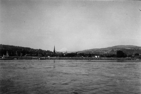
226. [Image] Columbia River at The Dalles, Oregon
-
227. [Image] Mending gill nets in Ilwaco
-
228. [Image] Mending gill nets in Ilwaco
-
229. [Image] Wapato Dam
-
230. [Image] Rosa Dam Fish Ladder
-
231. [Image] Dairy Canyon Creek
 Confluence Dairy Canyon Creek with the Grande Ronde River showing mining silt in the latter
Citation -
232. [Image] Dam at outlet of Wallowa Lake
-
233. [Image] Live boxes for holding crayfish
 Live crayfish boxes near Linnton, Oregon, on the Willamette River
Citation -
234. [Image] Mending gill nets near Astoria, Oregon
-
235. [Image] Little Sandy Channel
-
236. [Image] Seine skiff
 Seine skiff with boxed fish near Van Dusen Sands
Citation -
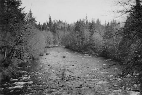
237. [Image] East Fork Mayfield Creek valley looking upstream
-
238. [Image] Fishing boats
 One-man gill net boat with power roller and two-man stern picker gill net boat
Citation -
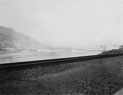
239. [Image] Rock Island Dam
 Rock Island Dam on the Columbia River
Citation -
240. [Image] Hauling in seine
 Seining for Salmon on Van Dusen Sands near Astoria, Oregon
Citation -
241. [Image] Mouth of Gordon Creek
 Looking downstream to mouth of Gordon Creek, a tributary to the Sandy River
Citation -
242. [Image] Rock Island Dam
 Rock Island Dam on the Columbia River
Citation -
243. [Image] Rock Island Dam
 Rock Island Dam on the Columbia River
Citation -
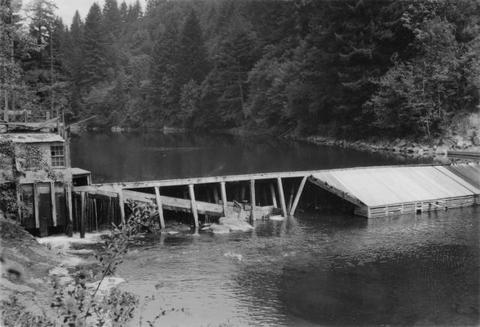
244. [Image] Mill dam on the Little Washougal River
-
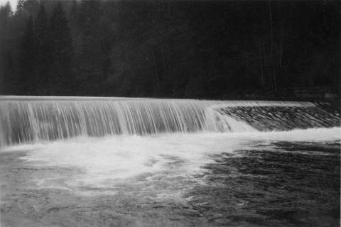
245. [Image] Gail Falls
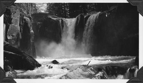 Gail Falls on Cispus River just below Cat Creek confluence
Citation -
246. [Image] Mt St Helens
 View of Mt St Helens in vicinity of Coldwater Creek
Citation -
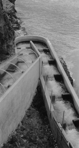
247. [Image] Fish ladder
 Fish ladder on the Washougal River upper dam
Citation -
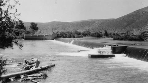
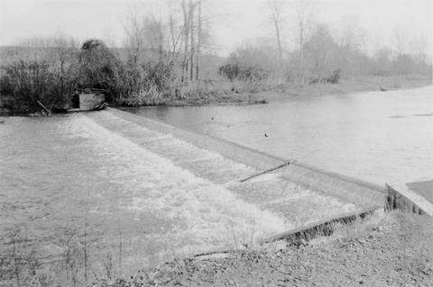
248. [Image] 9 mile dam on the Walla Walla River
 Dam has been blasted out.
Citation -
249. [Image] Upper Big Redfish Lake, Idaho
 Showing character of watershed at the Upper Big Redfish Lake, Idaho
Citation -
250. [Image] Snake River below Shoshone Falls
-
251. [Image] Gill net boats
-
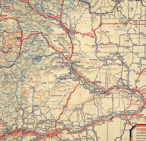
253. [Image] Yakima and surrounding area map
-
254. [Image] Screens and headgates
 Screens and lower headgates on Selah - Moxee ditch
Citation -
255. [Image] Bonneville Dam
-
256. [Image] Headgates to Cove power canal
-
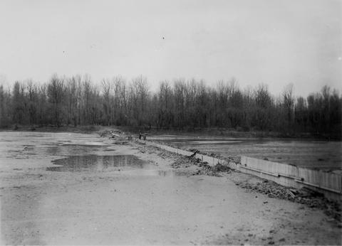
257. [Image] Big Sandy Channel
 Looking downstream from top of dam
Citation -
258. [Image] River Mill Dam fish ladder
 Fishway over River Mill Dam on the Clackamas River
Citation -
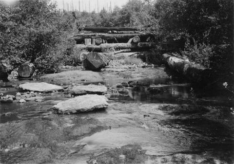
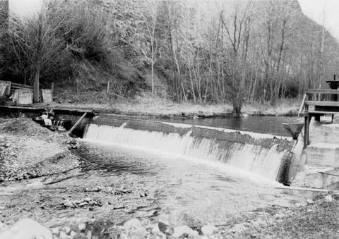
259. [Image] Old dam on Grays River
-
260. [Image] Central spillway at the Rock Island Dam
-
261. [Image] Dead dog salmon in Grays River
-
262. [Image] Big Sandy channel diversion dam
-
263. [Image] Dead dog salmon in Grays River
-
264. [Image] Big Sandy channel dam
-
265. [Image] Big Sandy channel dam
-
266. [Image] Washington Water Power dam and ladder
-
267. [Image] Deadwood River at mouth
-
268. [Image] Lewiston Dam weir
-
269. [Image] Upper end of State Ditch looking downstream
-
271. [Image] Salmon River
 Salmon River, tributary to Big Sandy River near the confluence
Citation -
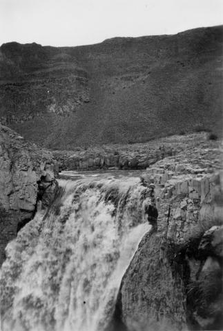
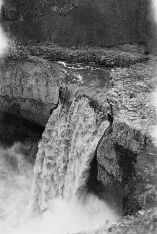
272. [Image] Palouse Falls
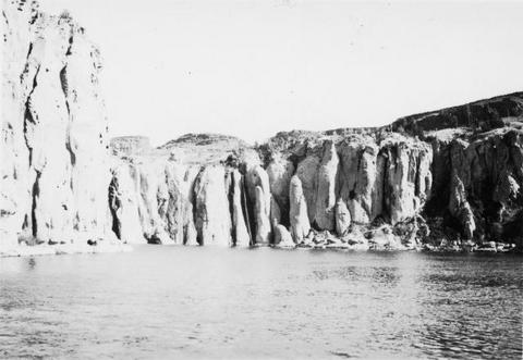
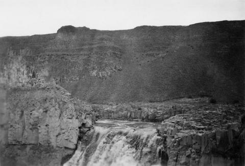 Palouse Falls on the Palouse River. The falls are 164 feet high
Citation -
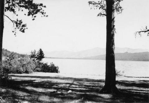
273. [Image] Little Redfish Lake, Idaho
-
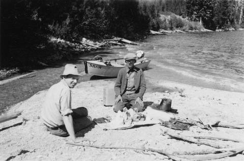
274. [Image] Burrows and Shaw at Redfish Lake, Idaho
-
275. [Image] Alturas Lake, Idaho
-
276. [Image] Uppermost end of Payette Lake, Idaho
-
278. [Image] 9 mile dam on the Walla Walla River
 Dam has been blasted out.
Citation -
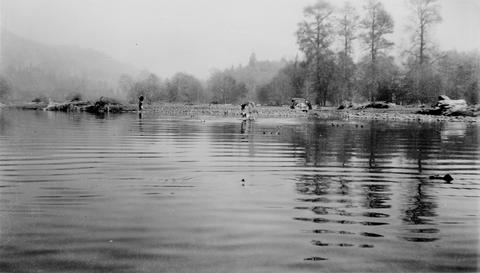
279. [Image] Gravel dredging
 Gravel dredging on the Grande Ronde River looking upstream from the highway bridge near Island City, Oregon
Citation -
280. [Image] Unity Dam on Burnt River
-
281. [Image] Dam and fish ladder Asotin Creek
-
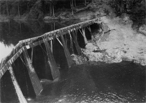
282. [Image] Lower dam on the Washougal River
-
283. [Image] Upper dam on the Washougal River
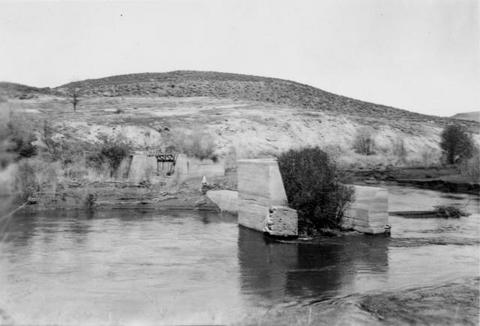
-
284. [Image] Fish ladder
 Fish ladder on the Washougal River upper dam
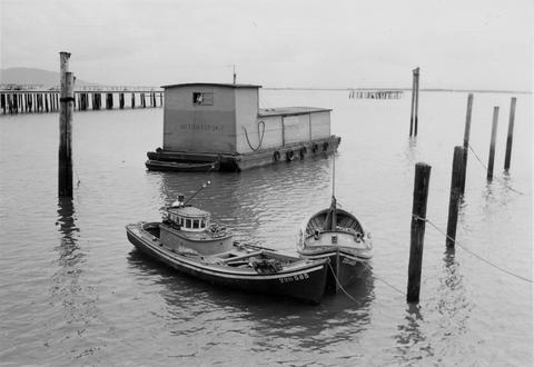
Citation -
285. [Image] Fish ladder
 Fish ladder on the Washougal River upper dam
Citation -
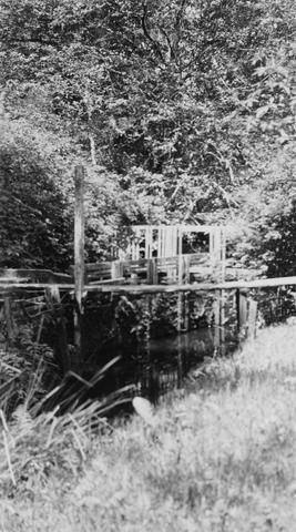
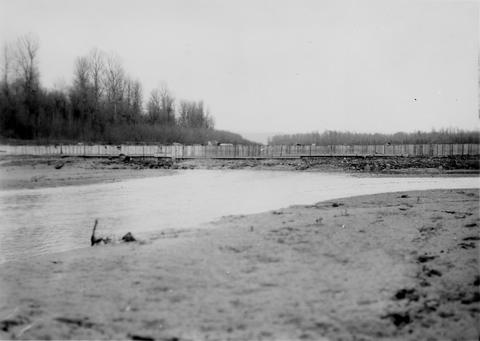
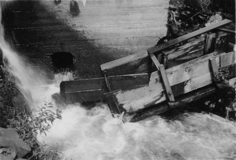
286. [Image] Snake River
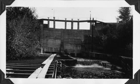
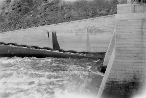
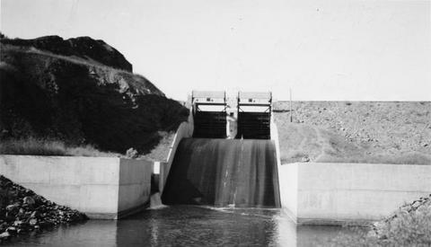
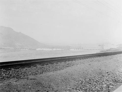
 Snake River, Idaho below Swan Falls Power House
Citation -
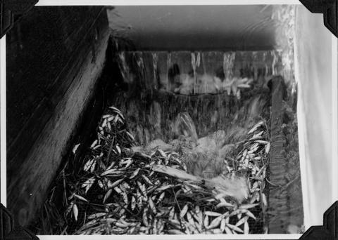
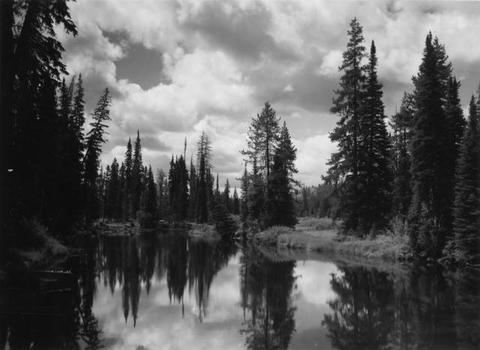
287. [Image] Stanley Basin
 Stanley Basin - Upper Salmon River, Idaho
Citation -
288. [Image] Washougal River power dam
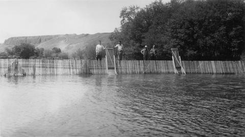
 Washougal River power dam showing the downstream front view
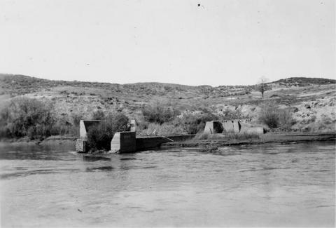
Citation -
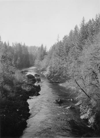
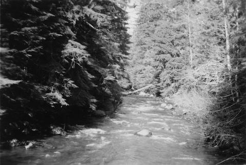
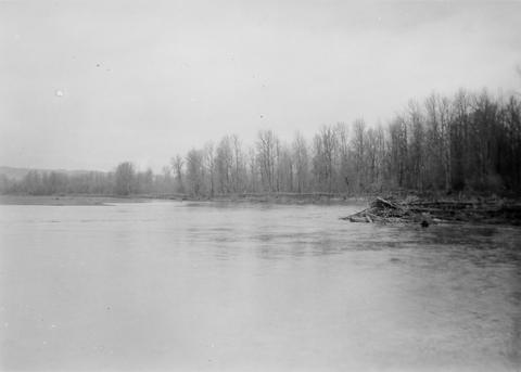
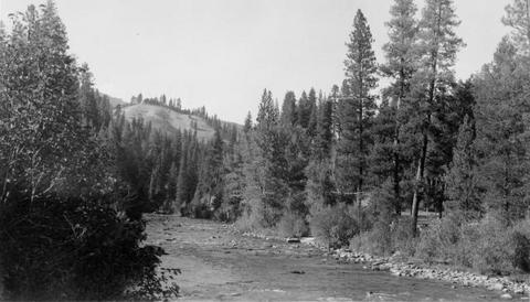
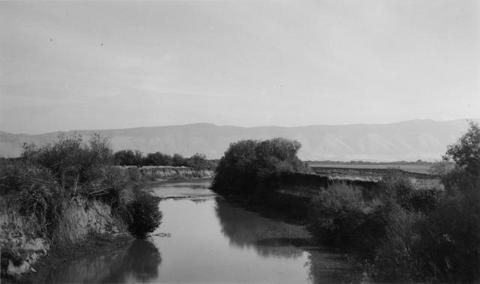
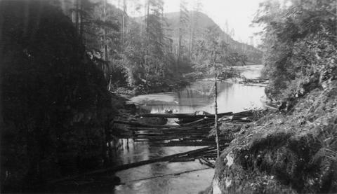
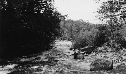
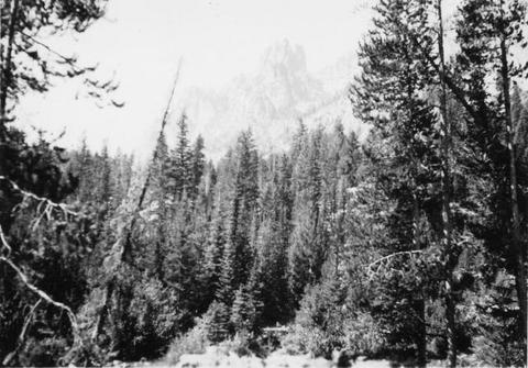
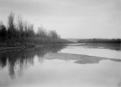
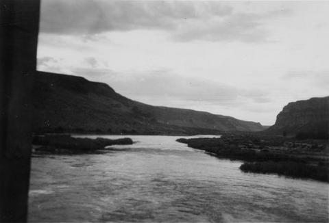
289. [Image] Upper dam on the Washougal River
-
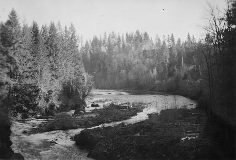
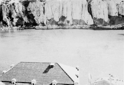
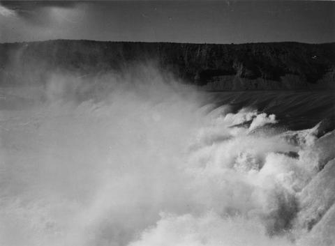
290. [Image] Shoshone Falls on the Snake River in Idaho
-
291. [Image] Shoshone Falls and power diversion
-
292. [Image] Palouse Falls
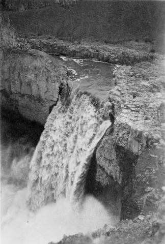 Palouse Falls on the Palouse River. The falls are 164 feet high
Citation -
293. [Image] Palouse Falls
 Palouse Falls on the Palouse River. The falls are 164 feet high
Citation -
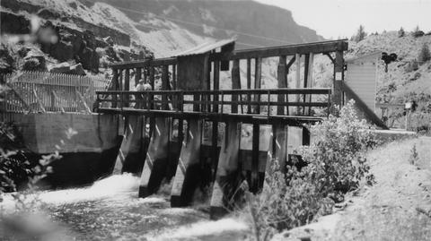
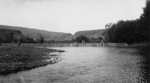
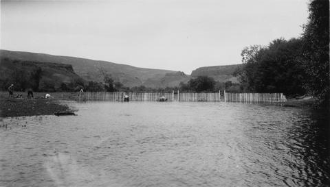
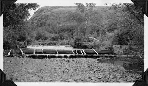
294. [Image] Tucannon River completed weir
-
295. [Image] Tucannon River completed weir
-
296. [Image] Constucting weir on Tucannon River
-
297. [Image] Palouse Falls
 Palouse Falls on the Palouse River. The falls are 164 feet high
Citation -
298. [Image] Snake River valley near Lewiston, Idaho
-
299. [Image] Burlingame Dam
-
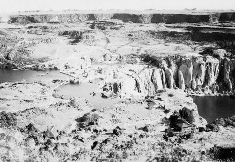
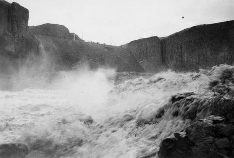
300. [Image] Palouse River rapids 1/2 mile above falls