Search
You searched for:
Start Over
Historic stream surveys
Remove constraint Historic stream surveys
Material Types
Image
Remove constraint Material Types: Image
« Previous | 101 - 200 of 1,627 | Next »
Search Results
-
101. [Image] Fish ladder without water
-
102. [Image] Fish ladder
-
103. [Image] Dam and fishway
-
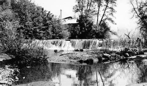
104. [Image] Finley feed mill dam
-
105. [Image] Finley feed mill dam
-
106. [Image] Oak Grove Fork
 Dam on the Oak Grove Fork of the Clackamas River Oregon;1938-06-28
Citation -
107. [Image] Screened intake
 Screened intake on Coast Fork Willamette River near Cottage Grove, Oregon;1938-06
Citation -
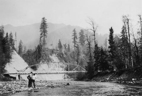
108. [Image] So Santiam River bridge
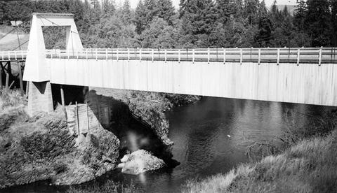 South Santiam River bridge at Sweet Home, Oregon;1940-08-15
Citation -
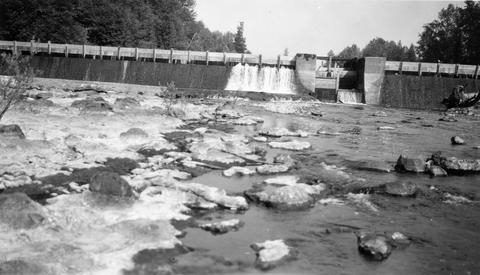
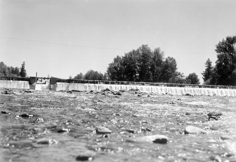
109. [Image] Concrete dam
-
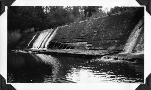
110. [Image] Lebanon Dam
 Lebanon Dam on the South Santiam River, Oregon
Citation -
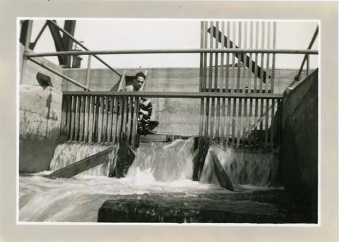
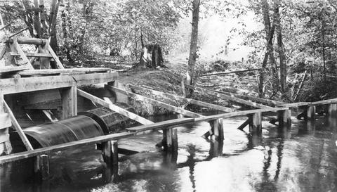
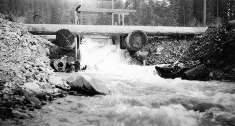
111. [Image] Headgates and screens
 West Stayton Ditch headgates and screens;1940-08-07
Citation -
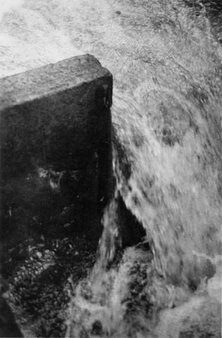
112. [Image] Control gates
-
113. [Image] Fish ladder
-
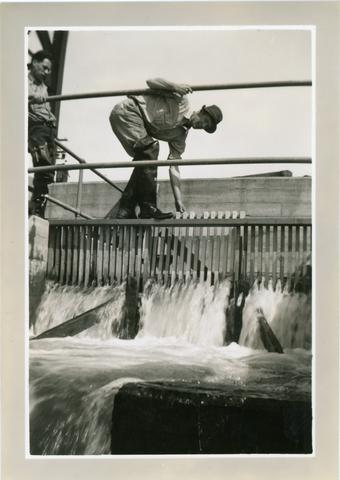
114. [Image] Screens above headgates
 Screens above headgates in the West Stayton Ditch;1940-08-07
Citation -
115. [Image] Lower Clackamas River
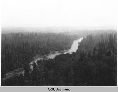 Lower Clackamas River looking toward Estacada, Oregon; 1950-05-26
Citation -
116. [Image] Grande Ronde River
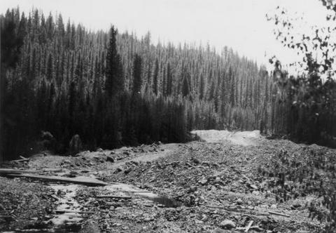 A section of the upper Grande Ronde River. Shows damage to stream bed caused by mining dredge operation
Citation -
117. [Image] Little Red fish on spawning grounds
 Little Red fish on spawning grounds in Alturus Lake Creek
Citation -
118. [Image] Clackamas River
 Clackamas River below Three Lynx Power Plant, Oregon; 1950-06-04
Citation -
119. [Image] Fishway and diversion flume
-
120. [Image] Falls on upper Redfish Lake Creek, Idaho
-
121. [Image] Falls above Timber Creek
 Falls above Timber Creek, tributary to the Washougal River
Citation -
122. [Image] Tide Creek gate pipes and dike
-
123. [Image] Oregon State hatchery rack on Big Creek
-
124. [Image] Frey on section of trail hollowed out of cliff
-
125. [Image] Goble Creek falls
 View of impassable falls on Goble Creek
Citation -
126. [Image] Falls on Little North Fork
-
127. [Image] Concrete Dam
-
129. [Image] Middle Fork Willamette River
 Middle Fork Willamette River above Tumblebug Creek;1938-07
Citation -
130. [Image] Burned-over land
-
131. [Image] Chinook salmon
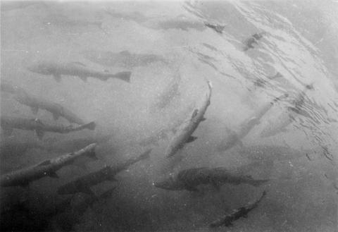 Chinook salmon in the Clackamas River; 1938-06-28
Citation -
132. [Image] Lampreys-Clackamas River
 Lampreys, Clackamas River, Oregon; 1938-06-28
Citation -
134. [Image] Albernathy Creek bedrock chute and falls
 Albernathy Creek, a tributary to Columbia River
Citation -
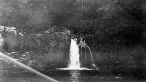
135. [Image] Frank Brice Creek falls
-
136. [Image] Facing downstream
 Facing downstream from bridge in Stayton, Oregon;1940-08-09
Citation -
137. [Image] Fish screens, head-gates & by-pass
-
138. [Image] West Stayton Ditch by-pass
 West Stayton Ditch by-pass;1940-08-07
Citation -
139. [Image] Stayton power canal by-pass
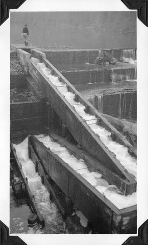
 Stayton power canal by-pass;1940-08-06
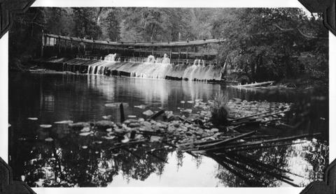
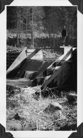
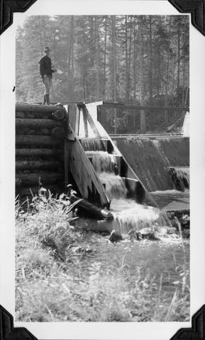
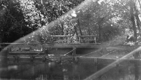
Citation -
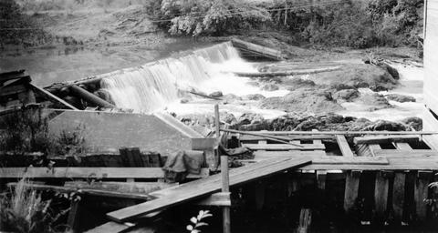
140. [Image] Fish ladder
-
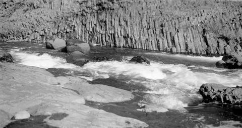
141. [Image] Finley Feed Mill Dam
-
142. [Image] Logging truck
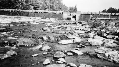
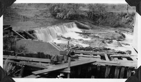
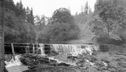
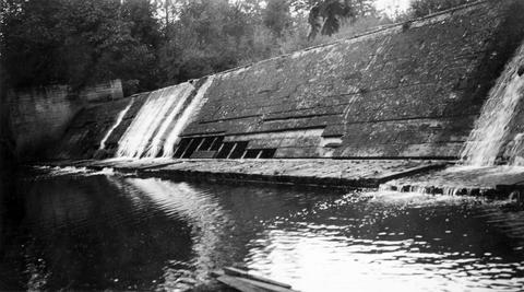
 Hoisting trailer on logging truck at Dollar, Oregon, on the Calapooia River;1941-10-02
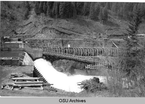
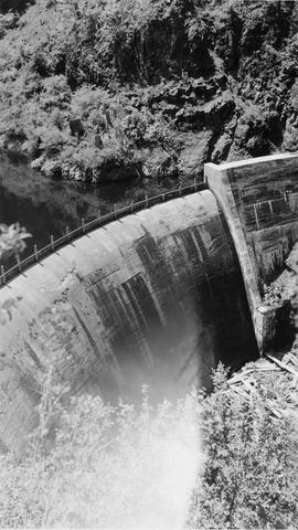
Citation -
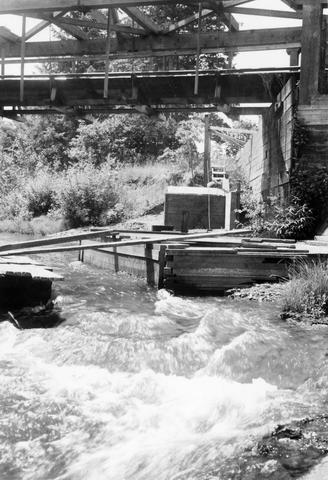
143. [Image] Chinook salmon jumping
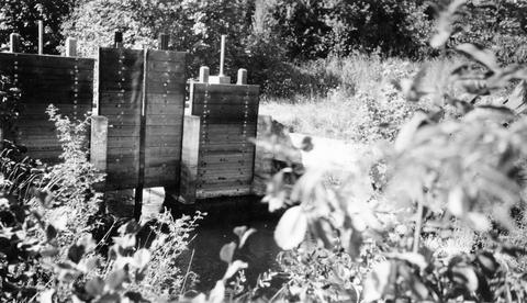
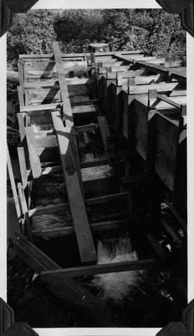
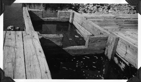
 Chinook salmon jumping in the McKenzie River, Oregon;1938-06
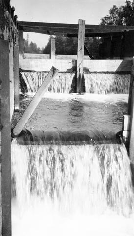
Citation -
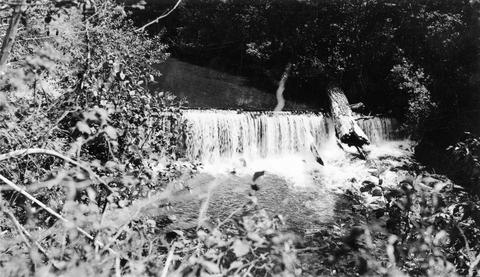
144. [Image] Dam on Mill Creek
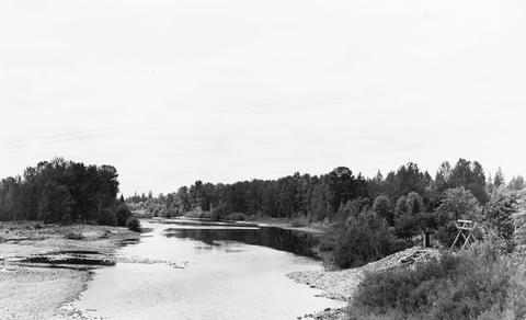
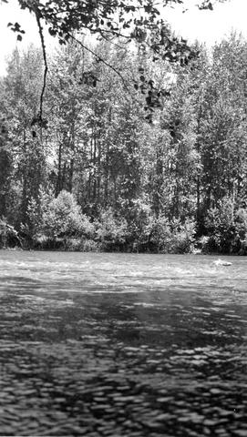
-
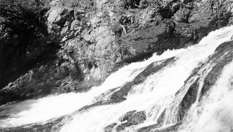
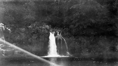
145. [Image] Falls on Silver Creek
-
147. [Image] Fish ladder with water
-
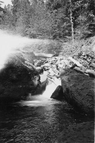
148. [Image] Dam on Mill Creek
-
149. [Image] Elgin Dam and fish ladder
-
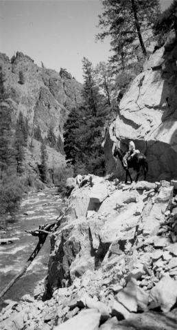
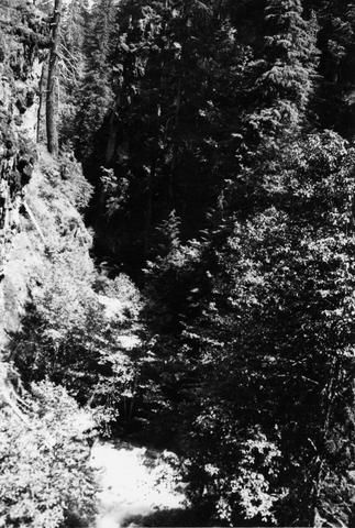
150. [Image] Oak Grove fork
 Oak Grove Fork, Clackamas River below dam; 1938-06-28
Citation -
151. [Image] Unloading fish truck at Nason Creek
-
152. [Image] Unloading fish truck at Nason Creek
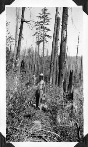
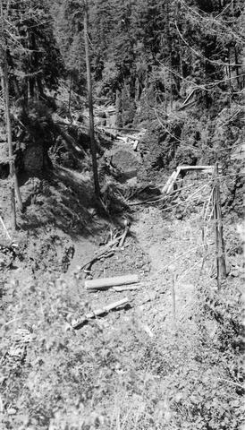
-
153. [Image] Dam and fish ladder
-
154. [Image] Falls on Little North Fork
-
155. [Image] Elgin dam and fish ladder
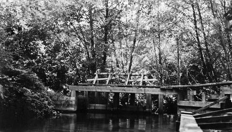
-
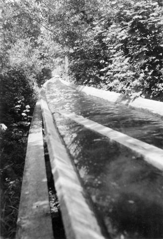
156. [Image] Finley Mill Dam
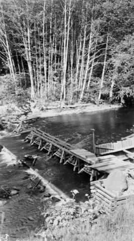
-
157. [Image] Finley feed mill dam
-
159. [Image] Coast Fork Willamette River
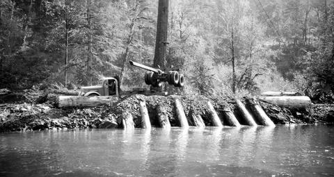
 Coast Fork Willamette River above Cottage Grove, Oregon;1938-06
Citation -
160. [Image] Calapooia River
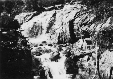
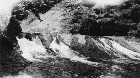
 Outlet from log pond at Dollar on the Calapooia River Impassable; 1941-10-02
Citation -
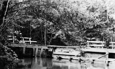
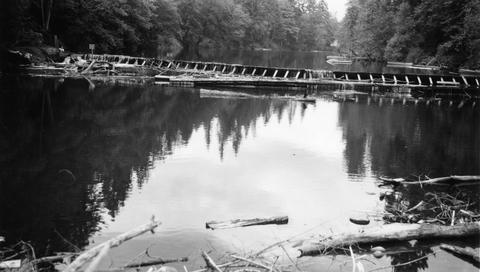
161. [Image] By-pass around log pond
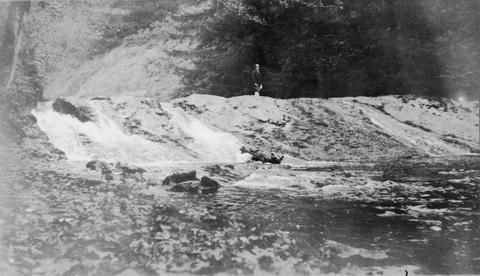
-
162. [Image] Upper end of "The Narrows"
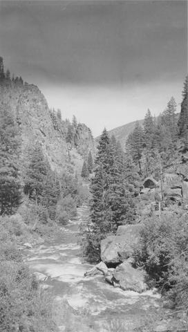
 The upper end of the "The Narrows" on the Molalla River; 1941-09-25
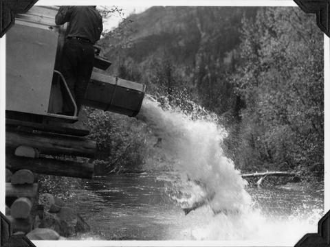
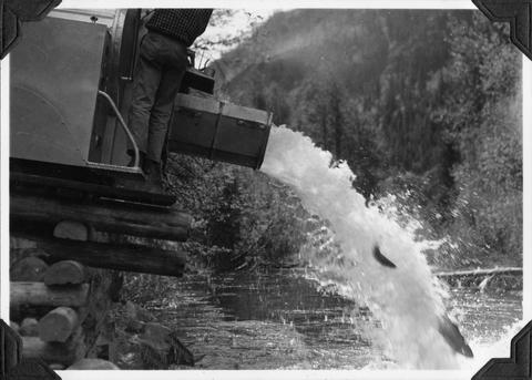
Citation -
163. [Image] Dam on Milk Creek
-
164. [Image] Albernathy Falls
-
165. [Image] Dam & falls on Layng Creek
-
166. [Image] Frank Brice Creek falls
-
An assessment of the geothermal resources of Caliente, Nevada was made to provide information on resource characteristics and to site 2 (two) 500 ft (152 m) test wells to confirm the resource. The strategy ...
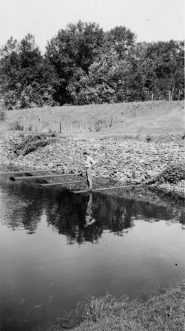
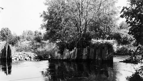
Citation -
168. [Image] Survey crew on Tilton River near Brewer bridge
-
169. [Image] River of No Return
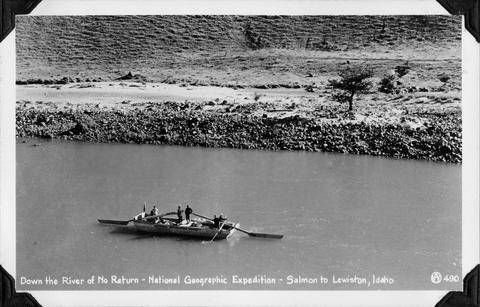 National Geographic Expedition down the "River of No Return" from Salmon to Lewiston, Idaho
Citation -
 This report deals with the streams in Area IV Area IV includes all tributaries entering the Columbia River from the south and east in the 120 miles from the Deschutes River up to but not including the ...
Citation -
 Area 3 includes all tributaries entering the Columbia on the north and west sides from the Klickitat River to Grand Coulee Dam, and the few tributaries entering from the east and south sides between the ...
Citation -
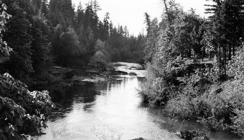
172. [Image] South Fork McKenzie River
 End of survey South Fork McKenzie River above Elk Creek;1938-07
Citation -
173. [Image] Winberry Creek
 Winberry Creek falls at end of survey;1938-05-19
Citation -
174. [Image] Winberry Creek falls
 Falls on Winberry Creek at end of survey Winberry Creek is a tributary of Fall Creek which is part of the Middle Fork Willamette River system;1938-05-19
Citation -
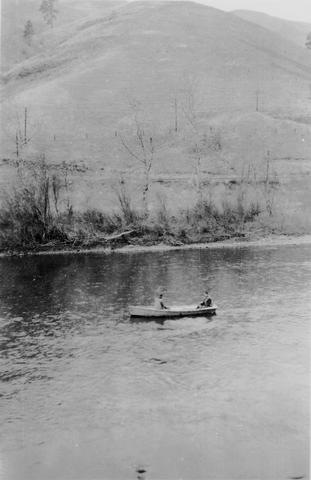
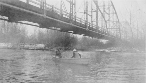
175. [Image] Frey and Bryant in boat
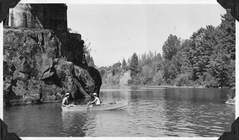 Frey and Bryant in boat at start of survey on the North Santiam River; 1940-08-06 Photograph from Album 1 page 47
Citation -
176. [Image] Coal Creek cabins
 Hanavan; Lobell; and Kolloen at stream-survey headquarters on upper Cowlitz. The men are sitting in front of the Coal Creek cabins
Citation -
177. [Image] Shooting rapids
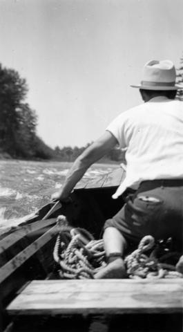 Shooting the rapids on the North Santiam River during the North Santiam survey ; 1940-08-06
Citation -
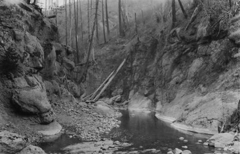
178. [Image] Niggerhead Creek box canyon (Yellowjacket Creek)
 Looking down small box canyon on Niggerhead Creek, tributary to Cispus River, 500 yards above road bridge. The stream is 35 feet wide
Citation -
179. [Image] Niggerhead Creek (Yellowjacket Creek)
 Niggerhead Creek, tributary to the Cispus River shown 1300 yards above road bridge. There is a log jam in the background. The stream is 40 ft wide
Citation -
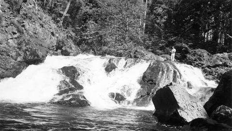
180. [Image] Looking downstream on east fork of Mayfield Creek
 East Fork of Mayfield Creek tributary to Loon Creek which is a tributary to the Middle Fork of the Salmon River. Photo is looking downstream over a cascade section in the stream
Citation -
181. [Image] Box canyon on Rock Creek
 Box canyon on Rock Creek five miles above mouth. View is typical of rocky nature of stream. The Creek is twenty- five feet wide
Citation -
182. [Image] Alluvial fan
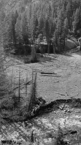 Alluvial fan is formed by washout in Thirty-two Creek.. River spreads out in many small channels over the surface.. Stream is inaccessible to salmon.
Citation -
184. [Image] Life zones with special reference to the botanical features of those of Crater Lake National Park
Thesis, M.A., Oregon, Dept. of Biology; Bibliography: p. 70-71Citation -
"May 1999"
Citation -
Includes bibliographical references (p. 22)
Citation -
187. [Image] Surveying Yakima River
 Mitch Hanavan and Dick Whiteleather surveying Yakima River in Ellensburg Canyon
Citation -
188. [Image] Surveying the Yakima River
 Mitch Hanavan and Dick Whiteleather in boat surveying the Yakima River
Citation -
189. [Image] Lewiston Dam weir
-
190. [Image] Lewiston Dam weir
-
191. [Image] Grand Canyon of the Snake River
 Grand Canyon of Snake River near Box Canyon on Oregon - Idaho border
Citation -
192. [Image] Showering at the hot springs
 Frey and Bryant taking shower at warm springs just above box canyon
Citation -
193. [Image] Deschutes River horseshoe
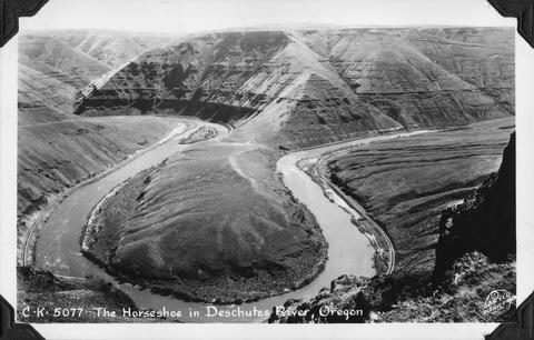 The horseshoe bend in the Deschutes River, Oregon
Citation -
194. [Image] Cape Disappointment
 Cape Disappointment near the mouth of Columbia River
Citation -
195. [Image] Uppermost end of Payette Lake, Idaho
-
196. [Image] Loading gill net
 Gill net-net being loading into a boat in Ilwaco (Washington)
Citation -
197. [Image] Kalama drift near Kalama, Washington
-
198. [Image] North Fork Clearwater River in Idaho
-
199. [Image] Redfish Lakes and Sawtooth Mountains
-
200. [Image] Loading gill nets into a boat in Ilwaco