Search
You searched for:
Start Over
Historic stream surveys
Remove constraint Historic stream surveys
Subject
Waterfalls
Remove constraint Subject: Waterfalls
« Previous | 41 - 50 of 172 | Next »
Search Results
-
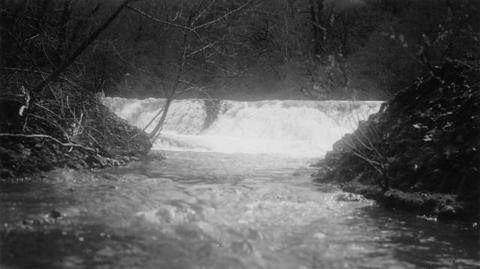
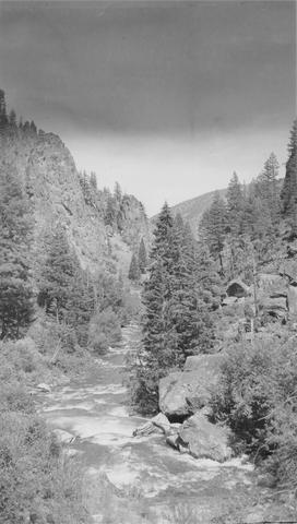 East Fork of Mayfield Creek tributary to Loon Creek which is a tributary to the Middle Fork of the Salmon River. Photo is looking downstream over a cascade section in the stream
Citation -
42. [Image] Gail Falls
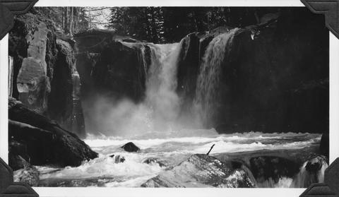 Gail Falls on Cispus River just below Cat Creek confluence
Citation -
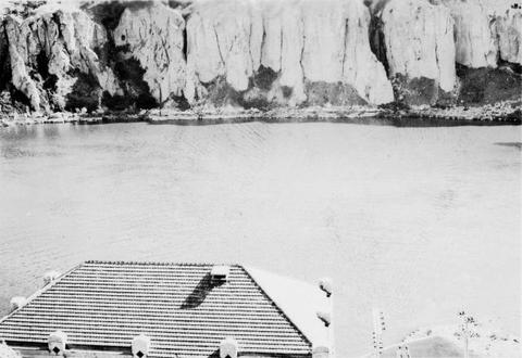
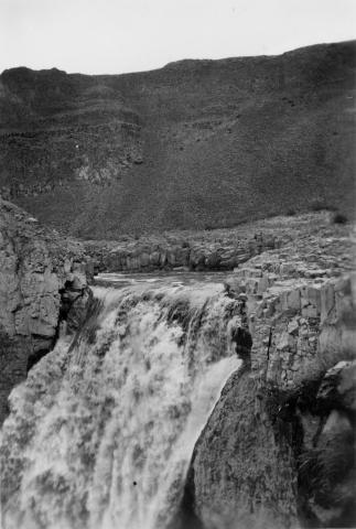
43. [Image] Snake River below Shoshone Falls
-
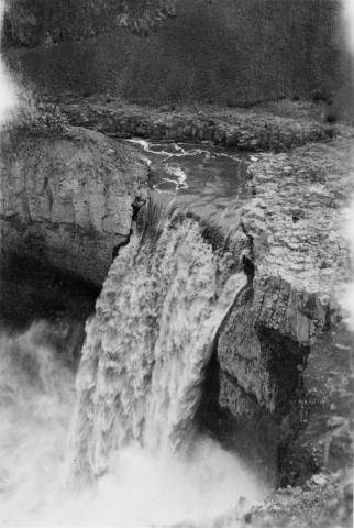
44. [Image] Palouse Falls
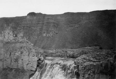 Palouse Falls on the Palouse River. The falls are 164 feet high
Citation -
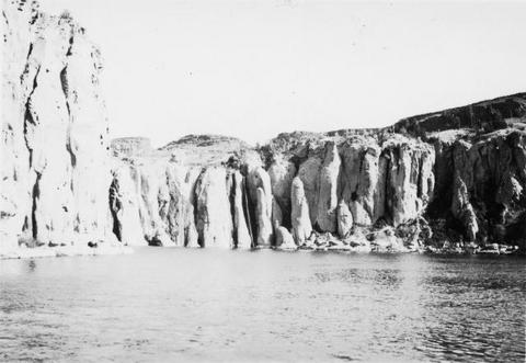
45. [Image] Shoshone Falls on the Snake River in Idaho
-
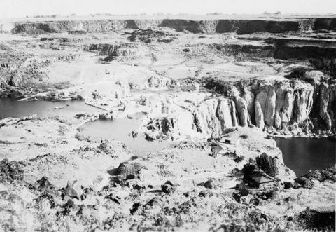
46. [Image] Shoshone Falls and power diversion
-
47. [Image] Palouse Falls
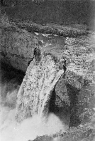 Palouse Falls on the Palouse River. The falls are 164 feet high
Citation -
48. [Image] Palouse Falls
 Palouse Falls on the Palouse River. The falls are 164 feet high
Citation -
49. [Image] Palouse Falls
 Palouse Falls on the Palouse River. The falls are 164 feet high
Citation -
50. [Image] Waterfalls