Search
You searched for:
Start Over
Historic stream surveys
Remove constraint Historic stream surveys
Subject
Waterfalls
Remove constraint Subject: Waterfalls
« Previous | 11 - 20 of 172 | Next »
Search Results
-
11. [Image] Falls on Canal Fork
 Falls on Canal Fork near the confluence with Middle Santiam River;1938
Citation -
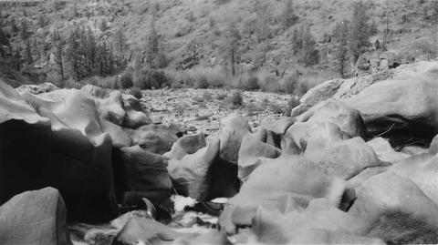
12. [Image] Waterfalls on Grays River
 8 foot falls (so-called) below the "Big Slide" on the Grays River. Station 4 is about 4 miles above the Highway. Falls are the only obstruction on river
Citation -
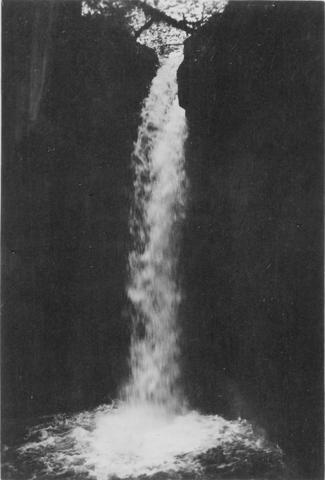
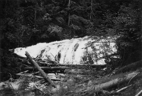
13. [Image] Gail Falls
 Gail Falls on the Cispus River is 200 yards below Cat Creek. The falls are 30 feet high and 8 feet wide
Citation -
14. [Image] Carved basalt
 Carved basalt holding up crest of Big Falls on the Deschutes River
Citation -
15. [Image] Cowlitz Falls
 Cowlitz Falls 8 miles below Randle, Washington
Citation -
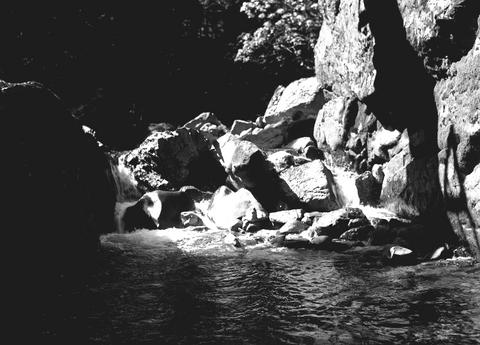
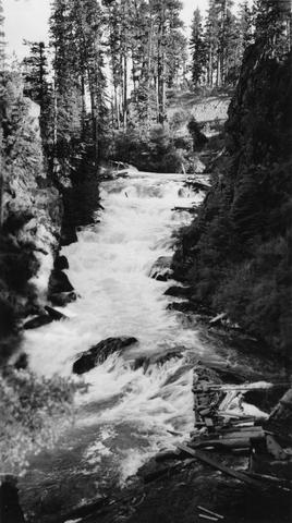
16. [Image] Falls on Goat Creek
 35 foot falls on Goat Creek, located 530 yards above its confluence with the Cowlitz River
Citation -
17. [Image] Lake Creek falls
 25 foot falls on Lake Creek two mile above its mouth. Lake Creek is the outlet of Packwood Lake in the Cowlitz River system
Citation -
18. [Image] Steelhead trout and Indian jump trap
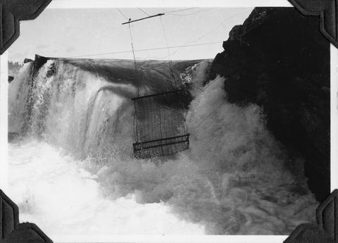 Photo shows Kettle Falls, on the Columbia River, which are now obliterated by the backwater from Grand Coulee Dam
Citation -
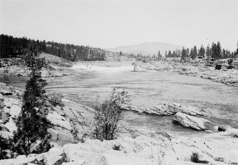
19. [Image] Upper Kettle Falls on the Columbia River
-
20. [Image] Benham Falls
 Main part of Benham Falls on the Deschutes River. Upstream view
Citation