Search
You searched for:
Start Over
Historic stream surveys
Remove constraint Historic stream surveys
Subject
Waterfalls
Remove constraint Subject: Waterfalls
« Previous | 121 - 130 of 172 | Next »
Search Results
-
121. [Image] Waterfall on lower Grays River
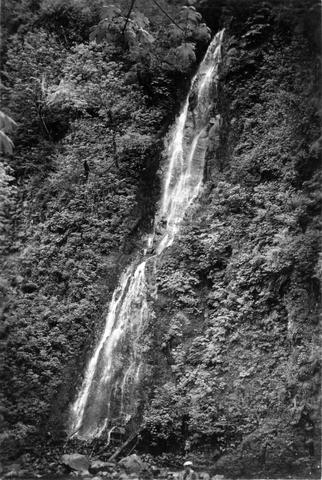 Falls down canyon wall on lower Grays River The falls are 150 feet high. Photo shows typically canyonous nature of stream banks. F Jobes is standing in lower center
Citation -
122. [Image] Cowlitz River falls
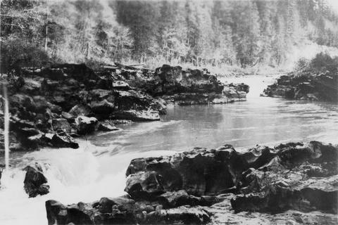 Cowlitz River falls eight miles below Randle, Washington. The drop of the lower falls is 4 feet.
Citation -
123. [Image] White River falls
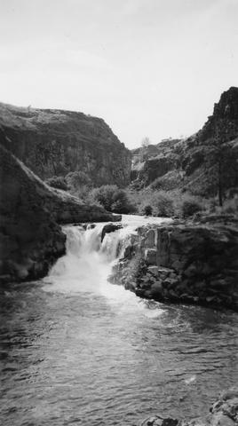 18 foot falls on the White River, tributary to the Deschutes River, several hundred yards below power plant. Upper falls can be seen faintly in background
Citation -
124. [Image] Indians fishing for salmon
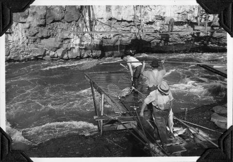 Indians fishing at Celilo Falls
Citation -
125. [Image] Indians fishing for salmon
 Indians fishing at Celilo Falls
Citation -
126. [Image] Waterfalls on Grays River
 8 foot falls (so-called) below the "Big Slide" on the Grays River. Station 4 is about 4 miles above the Highway. Falls are the only obstruction on river
Citation -
127. [Image] Gail Falls
 Gail Falls on the Cispus River is 200 yards below Cat Creek. The falls are 30 feet high and 8 feet wide
Citation -
128. [Image] Carved basalt
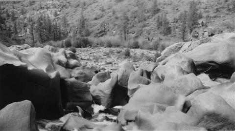 Carved basalt holding up crest of Big Falls on the Deschutes River
Citation -
129. [Image] Cowlitz Falls
 Cowlitz Falls 8 miles below Randle, Washington
Citation -
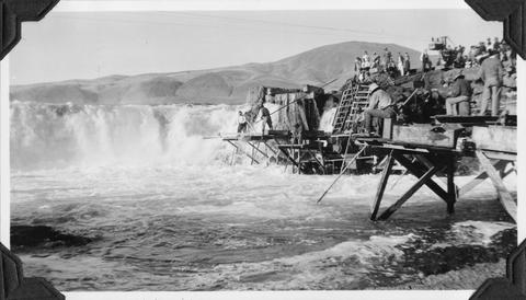
130. [Image] Steelhead trout and Indian jump trap
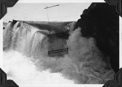 Photo shows Kettle Falls, on the Columbia River, which are now obliterated by the backwater from Grand Coulee Dam
Citation