Search
You searched for:
Start Over
Historic stream surveys
Remove constraint Historic stream surveys
Subject
Waterfalls
Remove constraint Subject: Waterfalls
Subject
Rivers -- Oregon
Remove constraint Subject: Rivers -- Oregon
1 - 16 of 16
Search Results
-
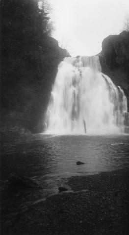
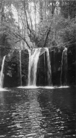
1. [Image] Youngs River near Astoria, Oregon
-
2. [Image] Goble Creek falls
 View of impassable falls on Goble Creek
Citation -
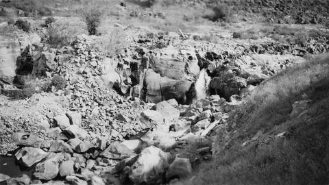
3. [Image] Beaver Creek falls
 Impassable falls on Beaver Creek. The falls are about 60 feet high
Citation -
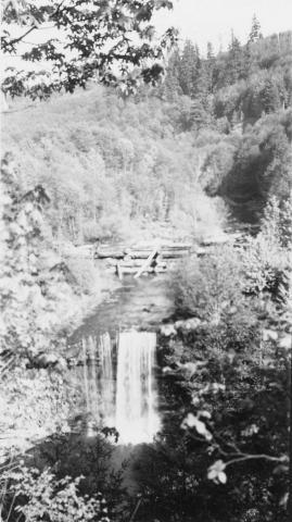
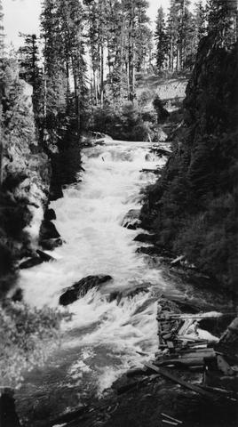
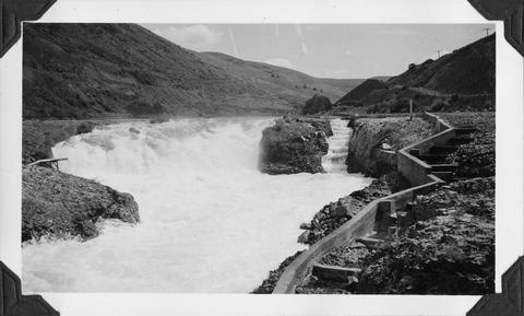
4. [Image] White River falls
 18 foot falls on the White River, tributary to the Deschutes River, several hundred yards below power plant. Upper falls can be seen faintly in background
Citation -
5. [Image] Carved basalt
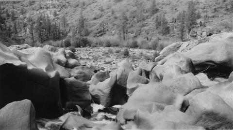 Carved basalt holding up crest of Big Falls on the Deschutes River
Citation -
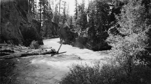
6. [Image] Benham Falls
 Main part of Benham Falls on the Deschutes River. Upstream view
Citation -
7. [Image] Lava Island Falls
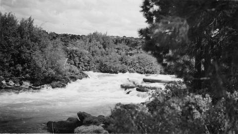 Part of Lava Island Falls on the Deschutes River
Citation -
8. [Image] Cline Falls
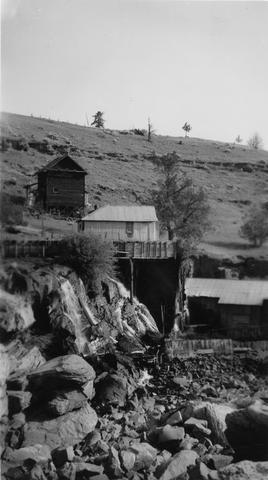 Cline Falls and power plant. Falls are almost dry during irrigation season.
Citation -
10. [Image] Paulina Falls
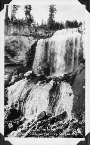 Paulina Falls on The Dalles to California Highway, Oregon (US 97)
Citation -
11. [Image] Broken-down fish ladder over Steelhead Falls
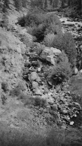 Broken-down fish ladder over Steelhead Falls on the Deschutes River
Citation -
12. [Image] Carved basalt forming brink of Cline Falls
-
13. [Image] Cline Falls
 Cline Falls on the Deschutes River. Falls are almost dry during irrigation season.
Citation -
14. [Image] Benham Falls looking downstream
-
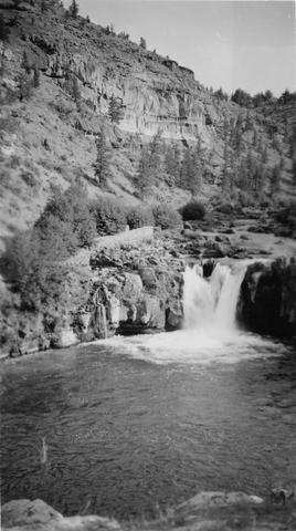
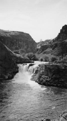
15. [Image] Sherar's Falls
 Sherars Falls on the Deschutes River, Oregon
Citation -
16. [Image] Steelhead Falls on the Deschutes River