Search
You searched for:
Start Over
Historic stream surveys
Remove constraint Historic stream surveys
Subject
Streams -- Oregon
Remove constraint Subject: Streams -- Oregon
« Previous | 1 - 50 of 327 | Next »
Search Results
-
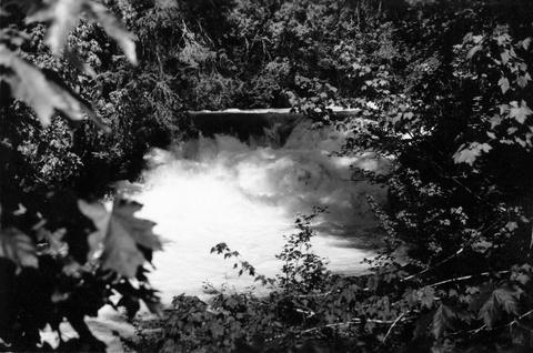
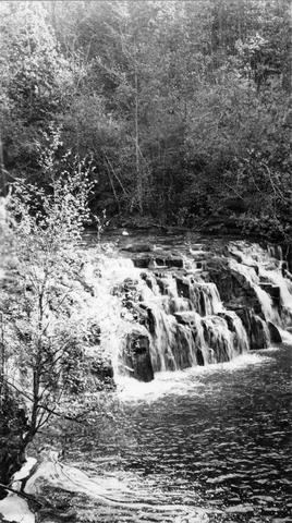
1. [Image] Salt Creek Falls
 285 foot falls on Salt Creek, tributary to Middle Fork Willamette River;1937-09-10
Citation -
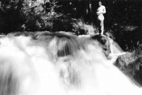
2. [Image] Salt Creek Falls
 285 foot falls on Salt Creek, tributary to Middle Fork Willamette River;1937-09-10
Citation -
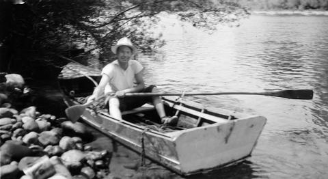
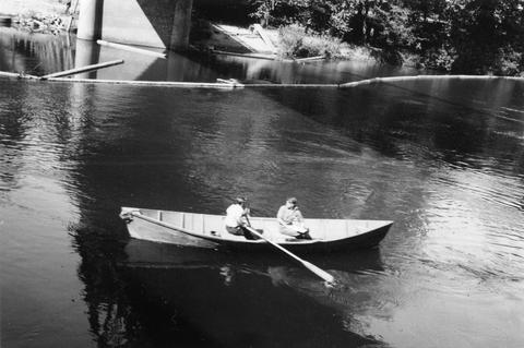
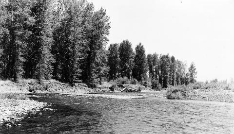
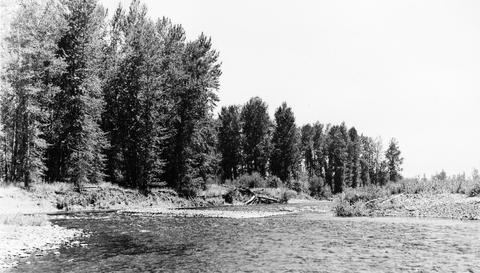
3. [Image] Boat survey
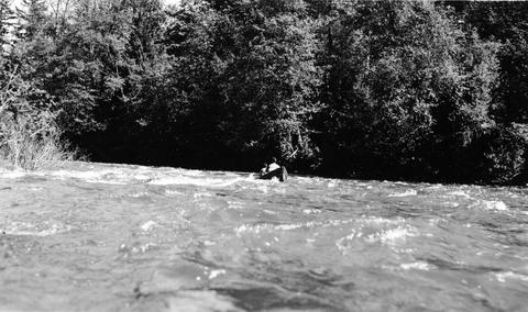 Boat survey on Coast Fork Willamette River near Saginaw, Oregon;1938-06
Citation -
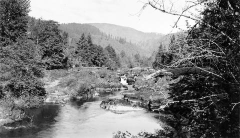
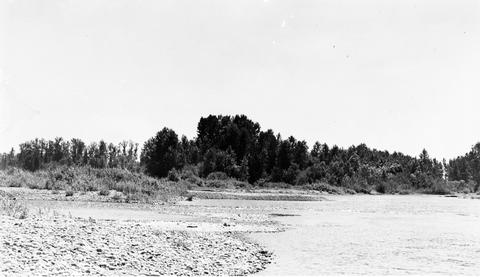
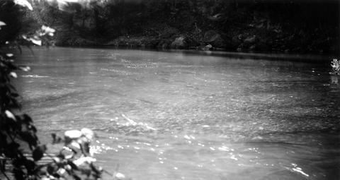
4. [Image] Middle Fork Willamette River
 Middle Fork Willamette River above Tumblebug Creek, end of survey;1938-07
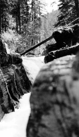
Citation -
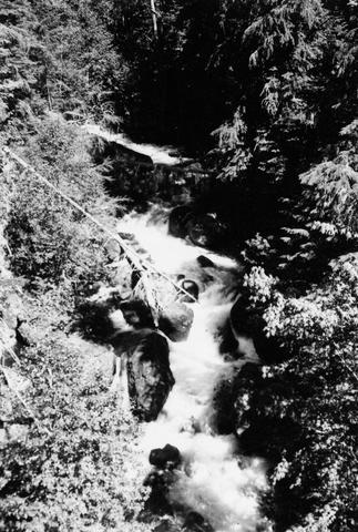
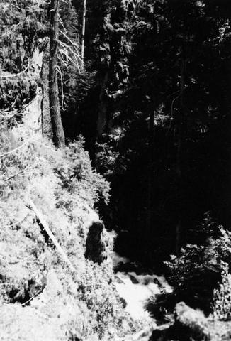
5. [Image] Stream bed above Lebanon
 South Santiam River stream bed above Lebanon, Oregon Large rubble and bedrock were becoming dominant;1940-08-12
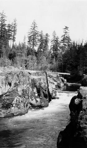
Citation -
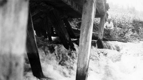
6. [Image] Boat survey Clackamas River
 Boat survey on the Clackamas River; 1938-06-28
Citation -
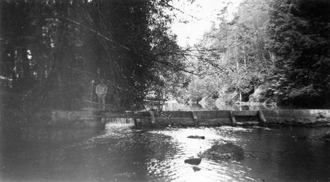
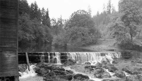
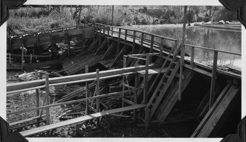
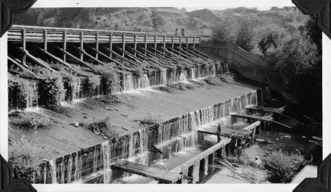
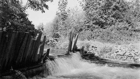
10. [Image] Abandoned dam
 Abandoned dam on the Coast Fork Willamette River; 1938-06-20
Citation -
12. [Image] Finley Mill Dam
-
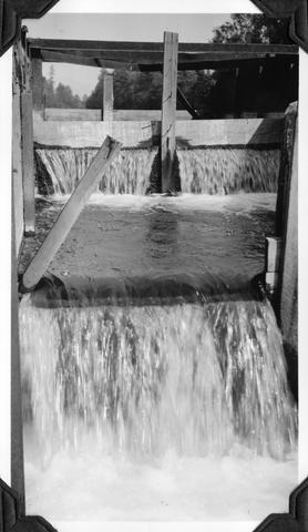
13. [Image] Fish screens, head-gates, & by-pass
-
14. [Image] Chinooks on riffle
 Chinook salmon on riffle at Lois Mill on the Molalla River; 1941-09-16
Citation -
15. [Image] Chinooks on riffle
 Chinook salmon on riffle at Lois Mill on the Molalla River; 1941-09-16
Citation -
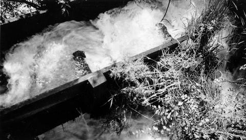
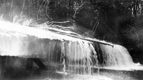
16. [Image] Stayton power canal by-pass
 Stayton power canal by-pass; 1940-08-06
Citation -
17. [Image] Mouth of North Santiam River
 Mouth of North Santiam River, Oregon; 1940-08-04
Citation -
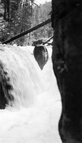
18. [Image] Finley Feed Mill Dam
-
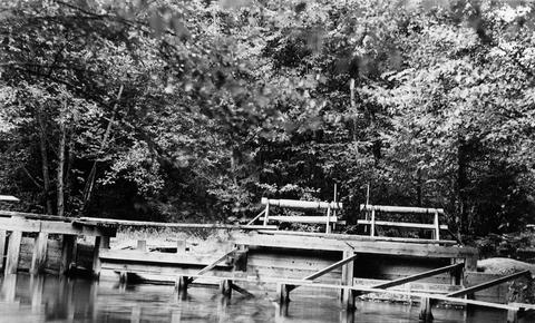
19. [Image] Dam and fish ladder
-
20. [Image] Dam on Milton Creek near St Helens, Oregon
-
21. [Image] Falls on White Branch
-
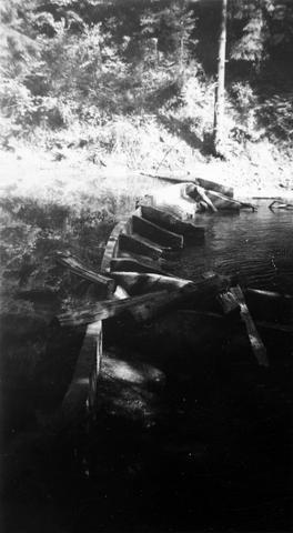
22. [Image] Obstruction on Coast Fork Willamette
 Obstruction on Coast Fork Willamette River near Cottage Grove, Oregon;1938-06
Citation -
23. [Image] Frank Brice Creek
-
24. [Image] Frank Brice Creek falls
-
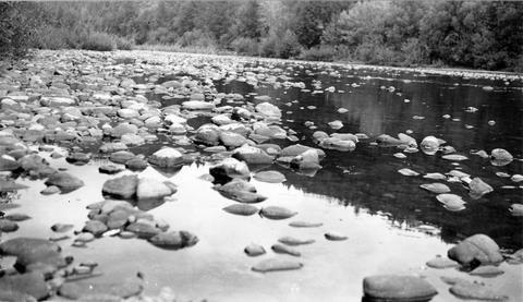
25. [Image] South Santiam River
 South Santiam River, Oregon Cutaway bank is found below the confluence with Crabtree Creek;1940-08-03
Citation -
26. [Image] Dam and fishway
-
28. [Image] Big Fall Creek
 Big Fall Creek
Citation -
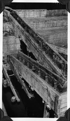
29. [Image] So Santiam River dam
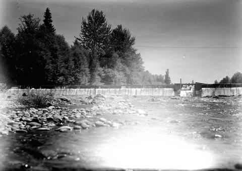
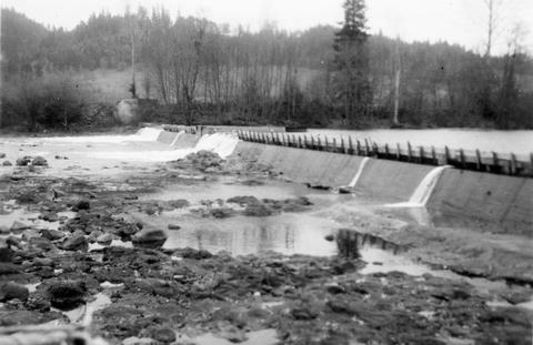 South Santiam River Dam near Lebanon, Oregon;1938
Citation -
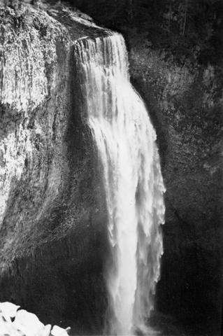
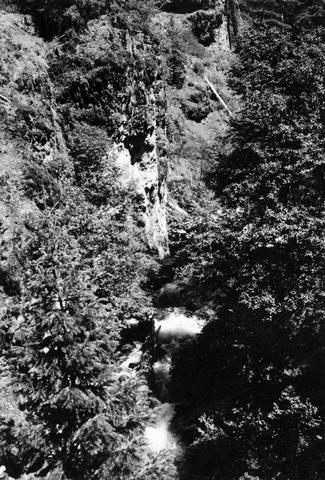
31. [Image] Tamolitch Falls
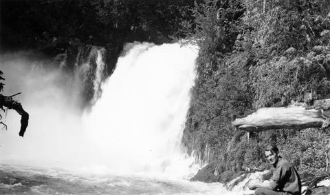
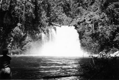 Tamolitch Falls on the McKenzie River The falls are 40 feet high;1937-06-26
Citation -
32. [Image] Floyd G Bryant
-
33. [Image] Middle Fork Willamette River
 Middle Fork Willamette River above Tumblebug Creek;1938-07
Citation -
34. [Image] Falls on Beaver Creek
 Upper falls on Beaver Creek which is impassable to fish; 1946-05
Citation -
35. [Image] Middle Fork Willamette River
 Middle Fork Willamette River above Tumblebug Creek;1938-07
Citation -
36. [Image] Mouth of North Santiam River
 Mouth of North Santiam River, Oregon; 1940-08-04
Citation -
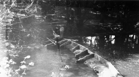
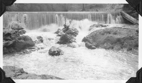
38. [Image] Passable river obstruction
 Passable obstruction on Coast Fork Willamette River;1938-06-20
Citation -
39. [Image] Three Lynx Power Plant
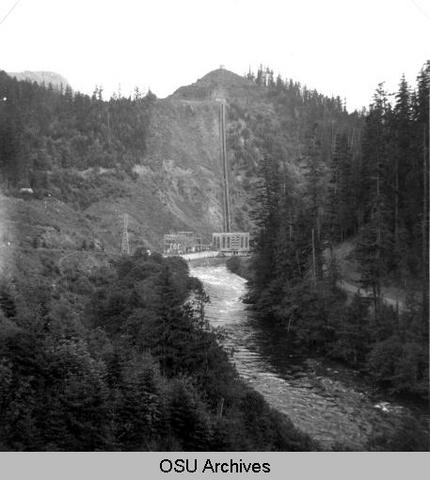 Three Lynx Power Plant, Oregon;1950-06-04
Citation -
40. [Image] Clackamas River
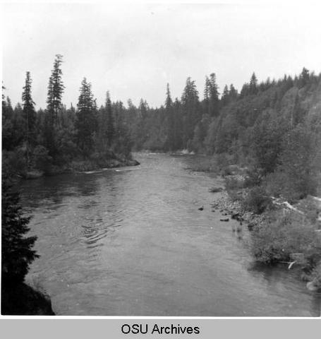 Clackamas River below River Mill Dam;1950-05-26
Citation -
41. [Image] Clackamas River
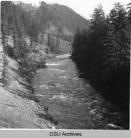 Clackamas River below Fish Creek, Oregon; 1950-05-26
Citation -
42. [Image] Clackamas River
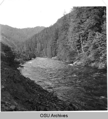 Clackamas River above Fish Creek, Oregon; 1950-06-04
Citation -
43. [Image] Confluence of North & South Santiam Rivers
-
44. [Image] Confluence of North and South Santiam Rivers
-
46. [Image] Fish ladder
-
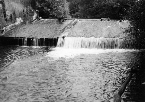
47. [Image] Lebanon Dam
 Lebanon Dam on the South Santiam River with fish ladder
Citation -
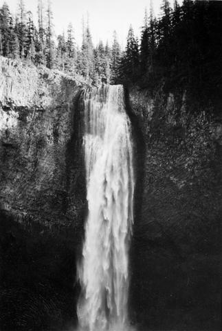
48. [Image] McKenzie River lower falls
 Lower falls on the McKenzie River;1938-06
Citation -
49. [Image] Fish ladder without water
-
50. [Image] Fish ladder