Search
You searched for:
Start Over
Historic stream surveys
Remove constraint Historic stream surveys
Subject
Streams -- Oregon
Remove constraint Subject: Streams -- Oregon
« Previous | 1 - 20 of 327 | Next »
Search Results
-
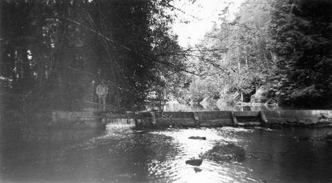
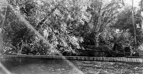
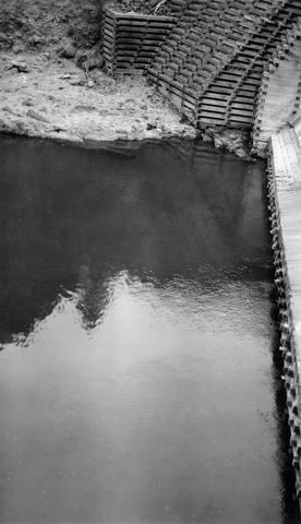
4. [Image] Abandoned dam
 Abandoned dam on the Coast Fork Willamette River; 1938-06-20
Citation -
5. [Image] Dam near Cottage Grove
 Dam near Cottage Grove, Oregon, on the Coast Fork Willamette River;1938-06-20
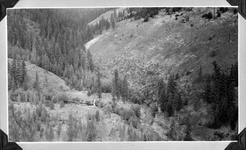
Citation -
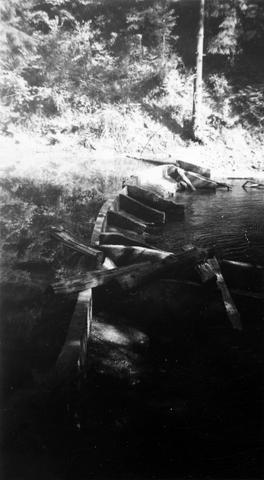
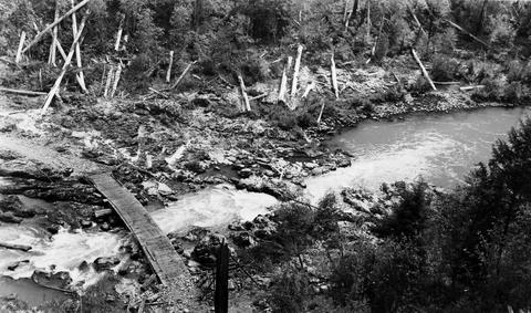
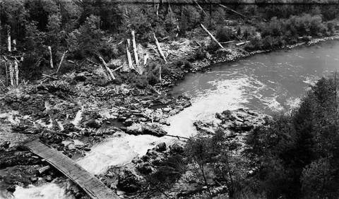
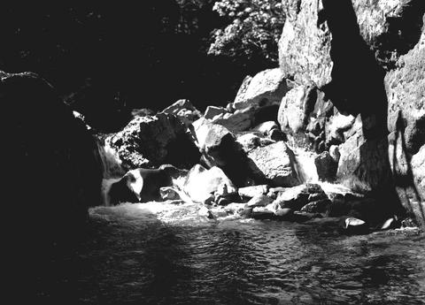
6. [Image] Dam on Roaring Creek
-
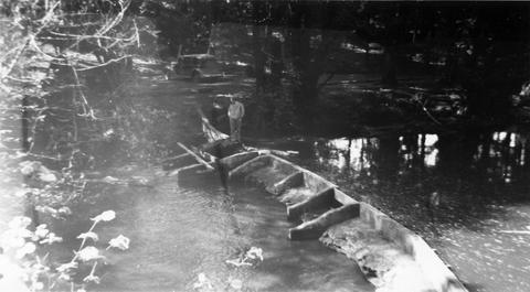
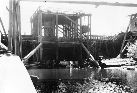
7. [Image] Obstruction on Coast Fork Willamette
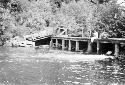 Obstruction on Coast Fork Willamette River Ladder has broken down;1938-06
Citation -
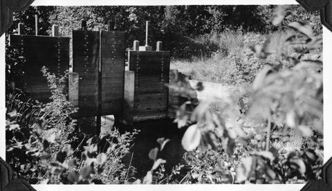
8. [Image] Salem Ditch dam
 Dam in Salem Ditch which is part of the North Santiam River system;1940-08-09
Citation -
9. [Image] Dam site above Mayflower Creek
 Dam site above Mayflower Creek on the North Santiam River in Oregon; 1940-08-12
Citation -
10. [Image] Dam site above Mayflower Creek
 Dam site above Mayflower Creek on the North Santiam River in Oregon; 1940-08-12
Citation -
11. [Image] Foot of Cazadero Dam
 Chinook salmon at foot of Cazadero Dam on Clackamas River; 1940-08-23
Citation -
12. [Image] Mill Creek mill dam
 Mill Creek mill dam Mill Creek is a tributary to the Mohawk River;1938-06-20
Citation -
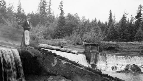
15. [Image] Upper concrete dam
 Upper concrete dam in South Santiam River 2 1/2 miles above Lebanon, Oregon The Lebanon power diversion takes off a short distance above this dam on the right side;1940-08-14 From Album 1 page 10
Citation -
16. [Image] South Fork McKenzie River
 South Fork McKenzie River drainage above Frissel Crossing;1938-07
Citation -
17. [Image] Writing up notes
 Baltzo and Kolloen writing up notes in Forest Camp at Horse Creek, a tributary of the McKenzie River;1937-08-19
Citation -
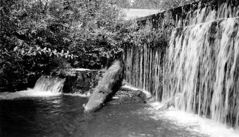
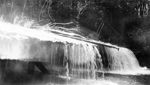
18. [Image] Falls on Canal Fork
 Falls on Canal Fork near the confluence with Middle Santiam River;1938
Citation -
19. [Image] Obtaining salmon eggs
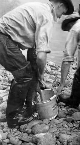 Photo shows Archie Anderson and an assistant obtaining eggs from gravid chinook salmon by slitting belly at the salmon hatchery on the Middle Fork of the Santiam River near Foster, Oregon; 1940-09-25
Citation -
20. [Image] South Santiam River
 South Santiam River above the mouth of Mark's Slough showing how very little water gets by the lower wooden dam where the Albany power ditch arises The white streak in the background is the sewage from ...
Citation