Search
You searched for:
Start Over
Historic stream surveys
Remove constraint Historic stream surveys
Subject
Streams -- Oregon
Remove constraint Subject: Streams -- Oregon
« Previous | 21 - 30 of 327 | Next »
Search Results
-
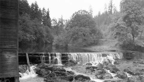
21. [Image] Headgates of power ditch
 Headgates of power ditch (shown faintly on left side of photo) taking off above Willamina Dam The dam is located on Willamina Creek, a tributary of the South Yamhill River, near Willamina, Oregon; 194...
Citation -
22. [Image] Finley Mill Dam
-
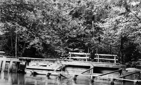
23. [Image] Fish screens, head-gates, & by-pass
-
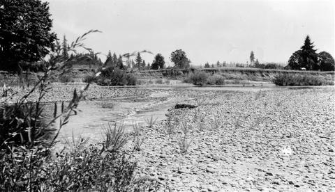
24. [Image] South Santiam River
 South Santiam River channel above Lebanon, Oregon Large rubble and bedrock is becoming dominant; 1940-08-12 From Album 1 page 8
Citation -
25. [Image] Chinooks on riffle
 Chinook salmon on riffle at Lois Mill on the Molalla River; 1941-09-16
Citation -
26. [Image] South Santiam River
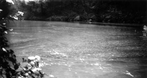
 South Santiam River, Oregon Good C1 riffle 1600 yards above confluence with Crabtree Creek;1940-08-04
Citation -
27. [Image] Chinooks on riffle
 Chinook salmon on riffle at Lois Mill on the Molalla River; 1941-09-16
Citation -
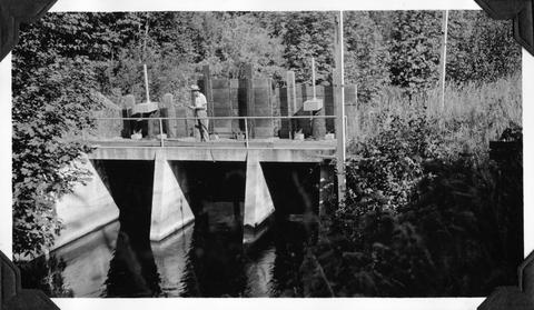
28. [Image] Stayton power canal by-pass
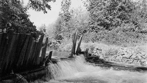 Stayton power canal by-pass; 1940-08-06
Citation -
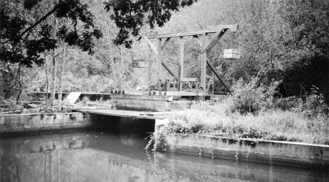
29. [Image] Spillway into Mark's Slough
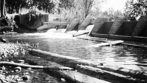 Spillway near Lebanon, Oregon, into Mark's Slough from the Albany Power Ditch just before it passes through the Crown-Willamette Paper Company property The water flushes out Mark's Slough, which receives ...
Citation