Search
You searched for:
Start Over
Historic stream surveys
Remove constraint Historic stream surveys
Subject
Streams -- Oregon
Remove constraint Subject: Streams -- Oregon
Subject
Waterfalls
Remove constraint Subject: Waterfalls
« Previous | 1 - 20 of 58 | Next »
Search Results
-
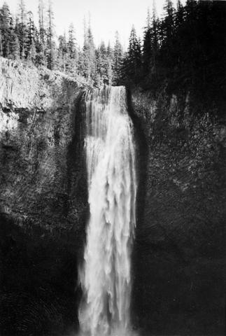
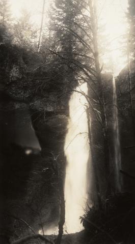
1. [Image] Salt Creek Falls
 285 foot falls on Salt Creek, tributary to Middle Fork Willamette River;1937-09-10
Citation -
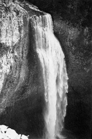
2. [Image] Salt Creek Falls
 285 foot falls on Salt Creek, tributary to Middle Fork Willamette River;1937-09-10
Citation -
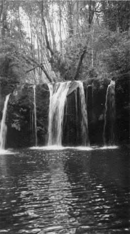
3. [Image] Falls on White Branch
-
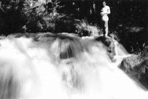
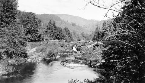
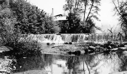
4. [Image] Frank Brice Creek
-
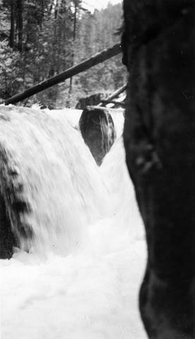
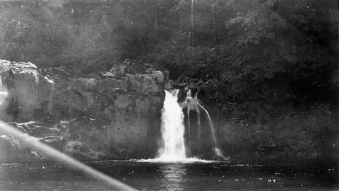
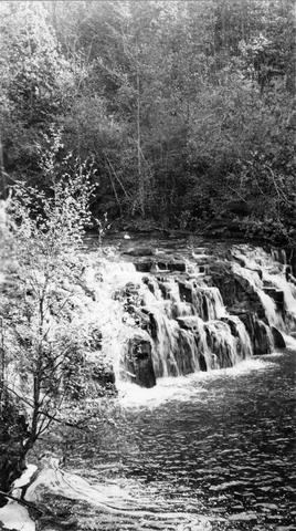
5. [Image] Frank Brice Creek falls
-
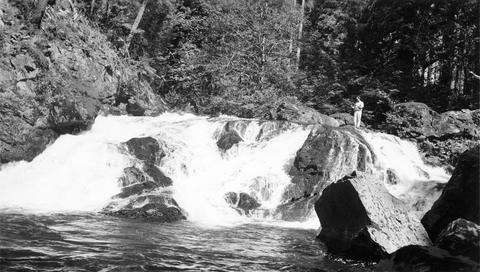
7. [Image] Tamolitch Falls
 Tamolitch Falls on the McKenzie River The falls are 40 feet high;1937-06-26
Citation -
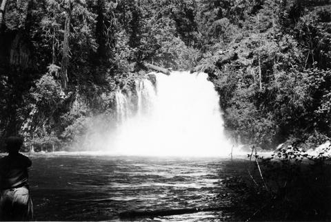
8. [Image] Falls on Beaver Creek
 Upper falls on Beaver Creek which is impassable to fish; 1946-05
Citation -
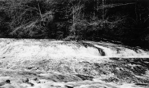
10. [Image] McKenzie River lower falls
 Lower falls on the McKenzie River;1938-06
Citation -
11. [Image] Goble Creek falls
 View of impassable falls on Goble Creek
Citation -
12. [Image] Falls on Little North Fork
-
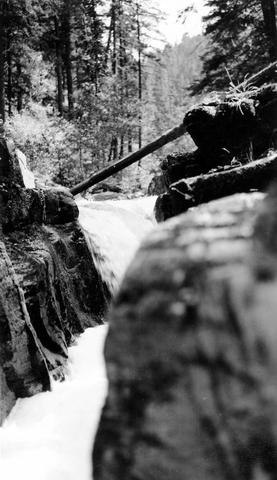
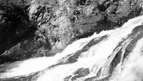
13. [Image] Frank Brice Creek falls
-
14. [Image] Falls on Little North Fork
-
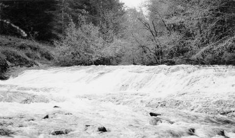
15. [Image] Coast Fork Willamette River
 Coast Fork Willamette River above Cottage Grove, Oregon;1938-06
Citation -
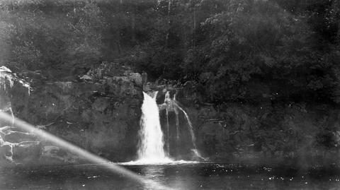
16. [Image] Frank Brice Creek falls
-
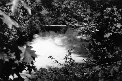
17. [Image] Winberry Creek
 Winberry Creek falls at end of survey;1938-05-19
Citation -
18. [Image] Winberry Creek falls
 Falls on Winberry Creek at end of survey Winberry Creek is a tributary of Fall Creek which is part of the Middle Fork Willamette River system;1938-05-19
Citation -
19. [Image] Falls on Canal Fork
 Falls on Canal Fork near the confluence with Middle Santiam River;1938
Citation -
20. [Image] Silver Creek
 Silver Creek near Salem, Oregon; 1938
Citation