Search
You searched for:
Start Over
Historic stream surveys
Remove constraint Historic stream surveys
Subject
Streams
Remove constraint Subject: Streams
« Previous | 41 - 50 of 98 | Next »
Search Results
-
41. [Image] Marble Creek
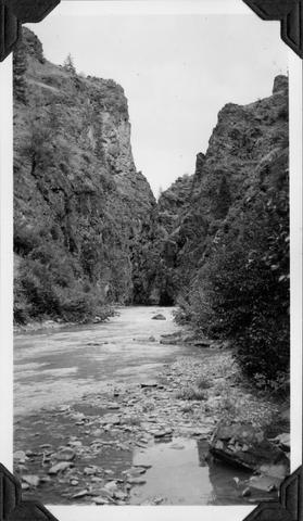 Looking upstream into the Marble Creek box canyon about 5 miles above the mouth
Citation -
42. [Image] Deer Horn Creek area
 Looking downstream in Middle Fork Salmon River Valley below Deer Horn Creek. Greyhound Creek enters in background on right
Citation -
43. [Image] Jack Creek dam
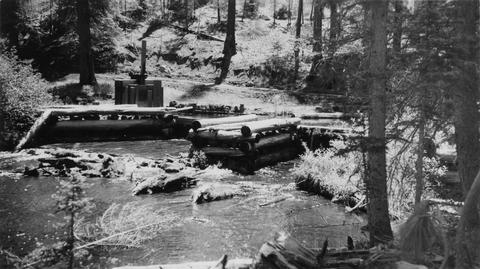 Jack Creek is a tributary of Metolius River. Upper dam is found at S31, T12S, R9E
Citation -
44. [Image] Jack Creek dam
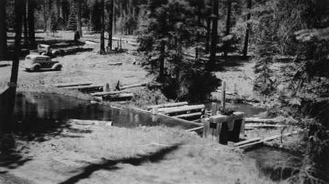 Jack Creek is a tributary of Metolius River. Upper dam is found at S31, T12S, R9E
Citation -
45. [Image] Niggerhead Creek log jam (Yellowjacket Creek)
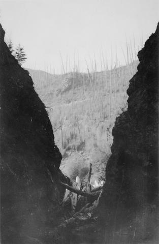 Lower end of big log jam in box canyon on Niggerhead Creek. It is a barrier to fish at this point. The Creek is 35 feet wide and the jam is 25 feet high
Citation -
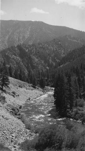
46. [Image] Marble Creek box canyon
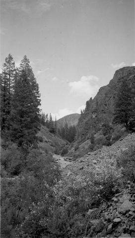 Typical watershed topography below the box canyon near Marble Creek, Idaho
Citation -
47. [Image] Stratified sandstone falls on Coal Creek
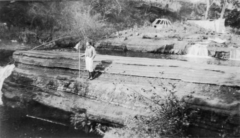 Coal Creek is a tributary to the Columbia River
Citation -
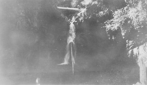
48. [Image] Pistol Creek
 Water ouzel and nest near campsite 2 1/4 miles from the mouth of Pistol Cr
Citation -
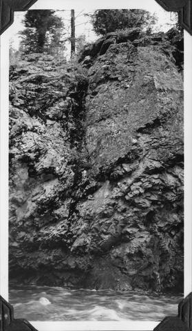
49. [Image] East Canyon Creek Falls
 Falls above mouth of East Canyon Creek, a tributary to the Cispus River
Citation -
50. [Image] Falls on Bear Creek
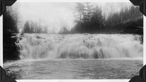 Falls on Bear Creek near Clatskanie, Oregon
Citation