Search
You searched for:
Start Over
Historic stream surveys
Remove constraint Historic stream surveys
Subject
Streams
Remove constraint Subject: Streams
« Previous | 11 - 20 of 98 | Next »
Search Results
-
11. [Image] Niggerhead Creek falls (Yellowjacket Creek)
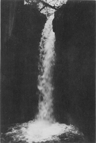
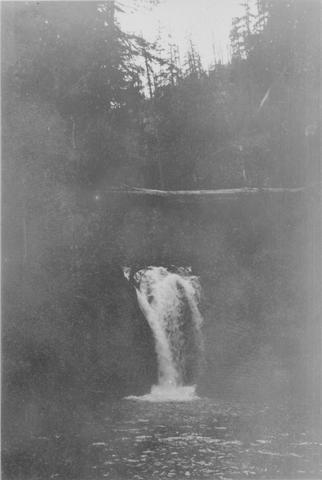 Falls on Niggerhead Creek 4 miles above road. The falls are 25 feet high
Citation -
12. [Image] Niggerhead Creek box canyon (Yellowjacket Creek)
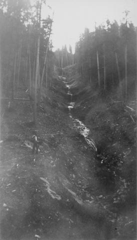
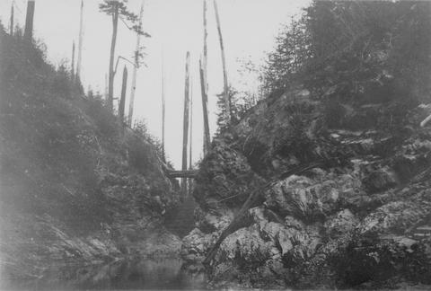 Looking down small box canyon on Niggerhead Creek, tributary to Cispus River, 500 yards above road bridge. The stream is 35 feet wide
Citation -
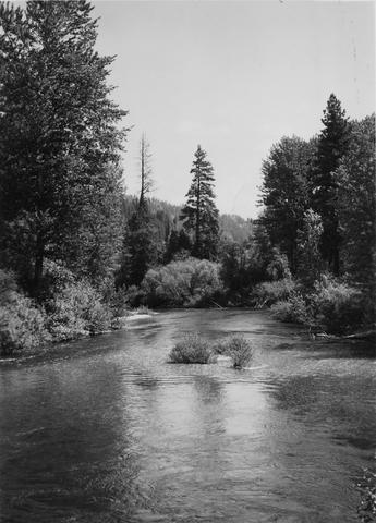
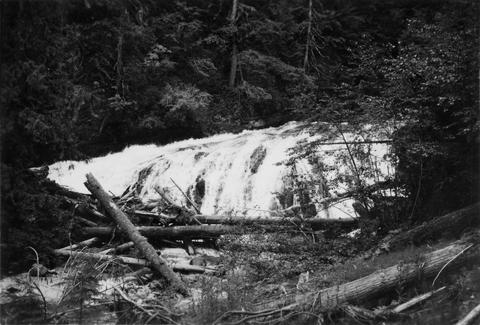
13. [Image] Silver Falls Creek
 Silver Falls Creek, tributary to the Cispus River
Citation -
14. [Image] Falls on Goat Creek
 35 foot falls on Goat Creek, located 530 yards above its confluence with the Cowlitz River
Citation -
15. [Image] Lake Creek falls
 25 foot falls on Lake Creek two mile above its mouth. Lake Creek is the outlet of Packwood Lake in the Cowlitz River system
Citation -
16. [Image] Marble Creek
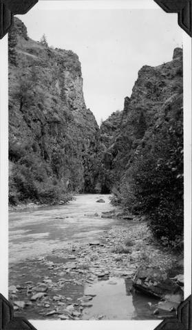 Looking upstream into the Marble Creek box canyon about 5 miles above the mouth
Citation -
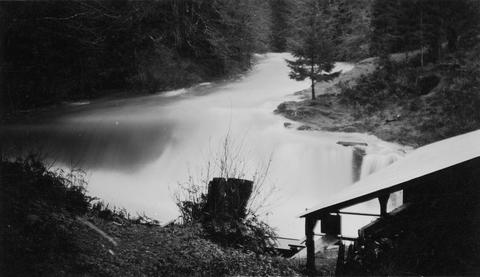
17. [Image] Deer Horn Creek area
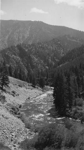 Looking downstream in Middle Fork Salmon River Valley below Deer Horn Creek. Greyhound Creek enters in background on right
Citation -
18. [Image] Jack Creek dam
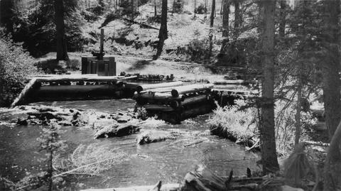 Jack Creek is a tributary of Metolius River. Upper dam is found at S31, T12S, R9E
Citation -
19. [Image] Mason Creek
-
20. [Image] Cedar Creek Falls at high water