Search
You searched for:
Start Over
Historic stream surveys
Remove constraint Historic stream surveys
Subject
Streams
Remove constraint Subject: Streams
Database
Oregon Digital
Remove constraint Database: Oregon Digital
« Previous | 21 - 30 of 98 | Next »
Search Results
-
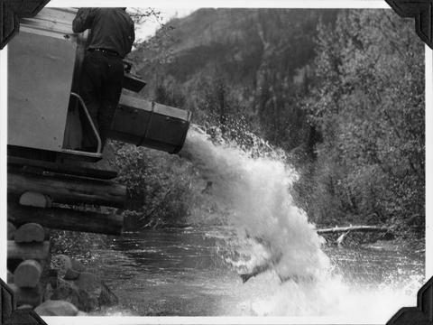
21. [Image] Unloading fish truck at Nason Creek
-
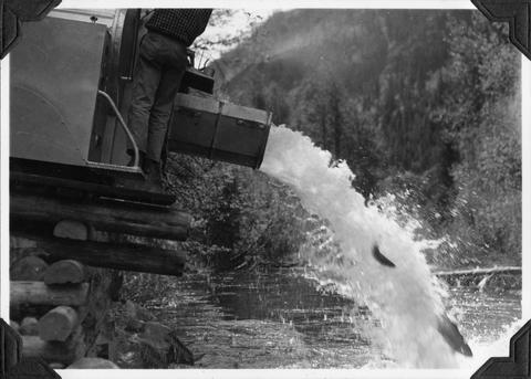
22. [Image] Unloading fish truck at Nason Creek
-
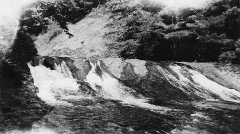
23. [Image] Albernathy Falls
-
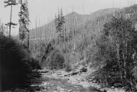
24. [Image] Niggerhead Creek box canyon (Yellowjacket Creek)
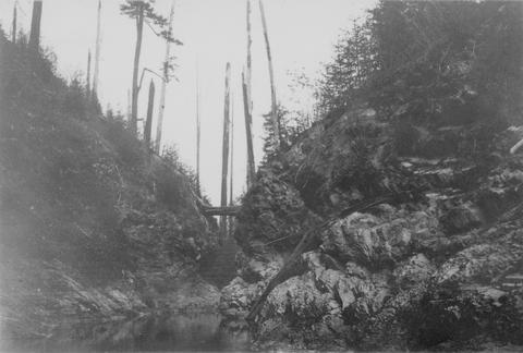 Looking down small box canyon on Niggerhead Creek, tributary to Cispus River, 500 yards above road bridge. The stream is 35 feet wide
Citation -
25. [Image] Niggerhead Creek (Yellowjacket Creek)
 Niggerhead Creek, tributary to the Cispus River shown 1300 yards above road bridge. There is a log jam in the background. The stream is 40 ft wide
Citation -
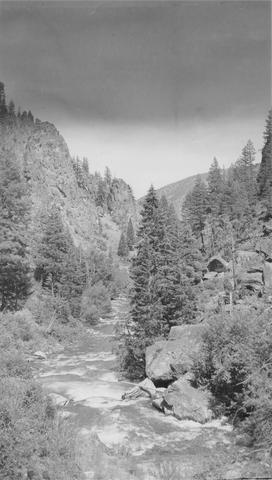 East Fork of Mayfield Creek tributary to Loon Creek which is a tributary to the Middle Fork of the Salmon River. Photo is looking downstream over a cascade section in the stream
Citation -
27. [Image] Box canyon on Rock Creek
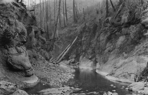 Box canyon on Rock Creek five miles above mouth. View is typical of rocky nature of stream. The Creek is twenty- five feet wide
Citation -
28. [Image] Alluvial fan
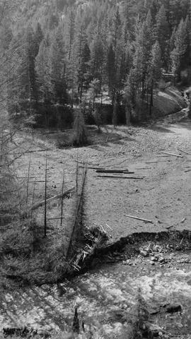 Alluvial fan is formed by washout in Thirty-two Creek.. River spreads out in many small channels over the surface.. Stream is inaccessible to salmon.
Citation -
29. [Image] Falls on Cat Creek
 Falls on Cat Creek, tributary to the Cispus River, 1/4 mile above the mouth. Lower falls is 4 feet high and the upper falls is 10 feet high
Citation -
30. [Image] Impassable bedrock chute
 Impassable bedrock chute on North Fork Cispus River near Timonium Creek. Drops 25 feet in 60 feet. There are no pools
Citation