Search
You searched for:
Start Over
Historic stream surveys
Remove constraint Historic stream surveys
Subject
Rivers -- Washington
Remove constraint Subject: Rivers -- Washington
« Previous | 1 - 10 of 274 | Next »
Search Results
-
1. [Image] Cowlitz River falls
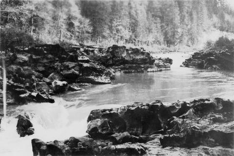 Cowlitz River falls eight miles below Randle, Washington. The drop of the lower falls is 4 feet.
Citation -
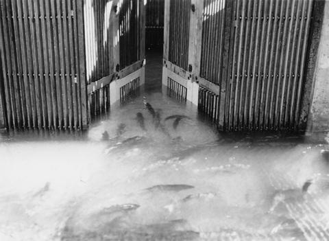
2. [Image] East fishway and collecting pool
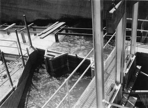 Rock Island Dam
Citation -
3. [Image] Loading fish at central trap
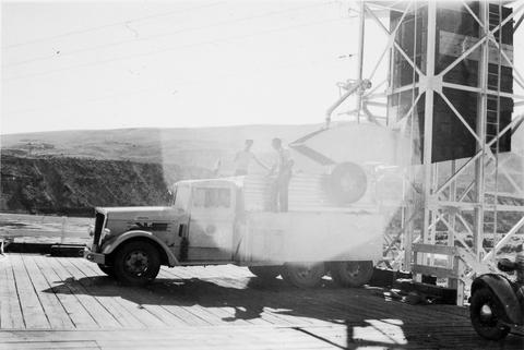 Rock Island Dam
Citation -
4. [Image] Falls on Cat Creek
 Falls on Cat Creek, tributary to the Cispus River, 1/4 mile above the mouth. Lower falls is 4 feet high and the upper falls is 10 feet high
Citation -
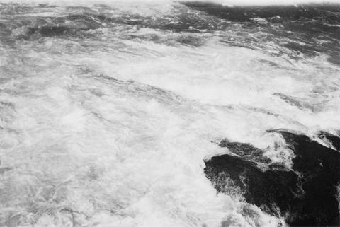
5. [Image] Impassable bedrock chute
 Impassable bedrock chute on North Fork Cispus River near Timonium Creek. Drops 25 feet in 60 feet. There are no pools
Citation -
6. [Image] Timonium Creek falls
 75 foot series of falls on Timonium Creek near its confluence with the North Fork of the Cispus River. Indicates terrific flood stages
Citation -
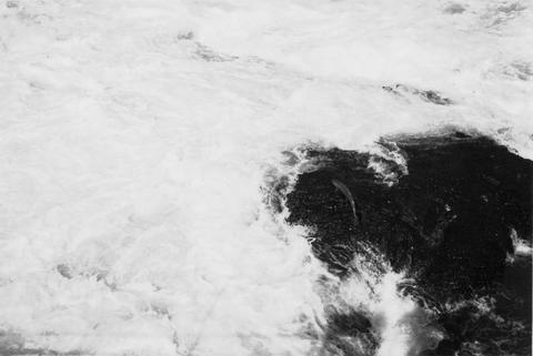
7. [Image] Chinooks jumping over middle rocks
 Rock Island Dam
Citation -
8. [Image] Chinook on rock
 Chinook on rock left of middle ladder at the Rock Island Dam
Citation -
9. [Image] Salmon entering elevator from brail
 Rock Island Dam left trap in the summer
Citation -
10. [Image] Chinook jumping
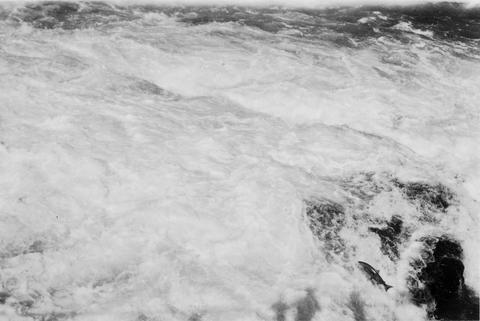 Chinook jumping over middle rocks at the Rock Island Dam
Citation