Search
You searched for:
Start Over
Historic stream surveys
Remove constraint Historic stream surveys
Subject
Rivers -- Washington
Remove constraint Subject: Rivers -- Washington
« Previous | 81 - 100 of 274 | Next »
Search Results
-
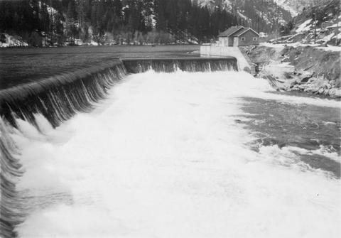
81. [Image] Tumwater Dam on Wenatchee River
-
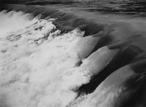
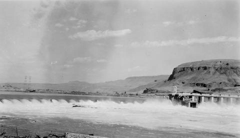
82. [Image] Rock Island Dam
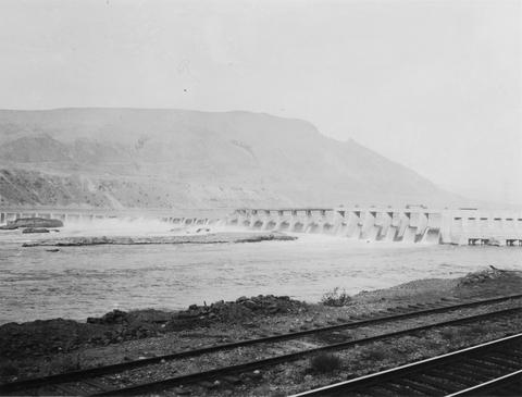
 Rock Island Dam on the Columbia River
Citation -
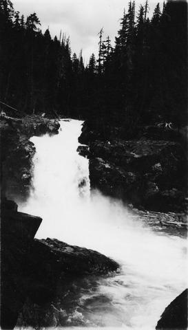
83. [Image] Falls on Ohanapecosh River
-
84. [Image] Upper falls on upper Ohanofrecork
-
85. [Image] Rock Island Dam
-
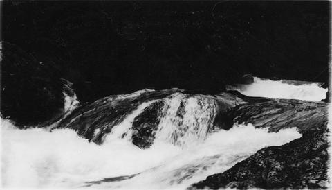
86. [Image] Monahan Creek falls
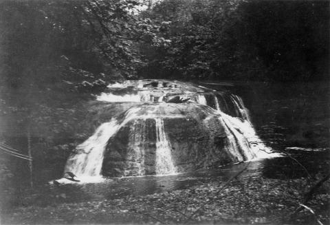
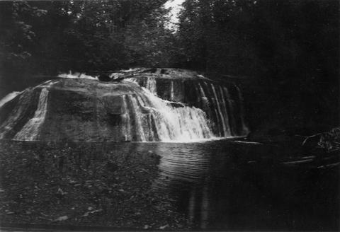
-
87. [Image] Monahan Creek falls
-
88. [Image] Rock Island Dam
-
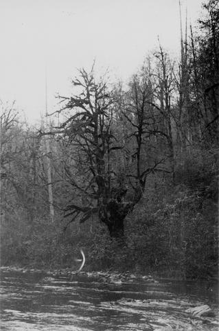
89. [Image] Dense, damp vegetation along Tilton River
-
90. [Image] Entiat River weir
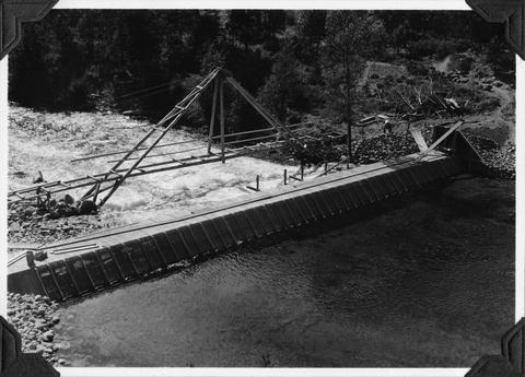 Weir under construction during Spring 1939
Citation -
91. [Image] Rock Island Dam
 Rock Island Dam on the Columbia River
Citation -
92. [Image] Rock Island Dam north trap
-
93. [Image] Loading fish truck
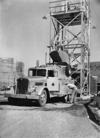
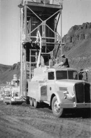 Left trap at Rock Island Dam
Citation -
94. [Image] Falls on Cat Creek
 Falls on Cat Creek, tributary to the Cispus River, 1/4 mile above the mouth. Lower falls is 4 feet high and the upper falls is 10 feet high
Citation -
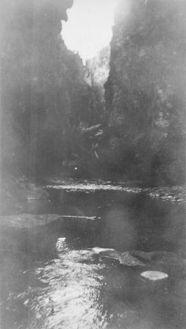
95. [Image] Impassable bedrock chute
 Impassable bedrock chute on North Fork Cispus River near Timonium Creek. Drops 25 feet in 60 feet. There are no pools
Citation -
96. [Image] Timonium Creek falls
 75 foot series of falls on Timonium Creek near its confluence with the North Fork of the Cispus River. Indicates terrific flood stages
Citation -
97. [Image] Cedar Creek Falls
 Powerflume, fish-ladder and mill at high-water stage on Cedar Creek Falls
Citation -
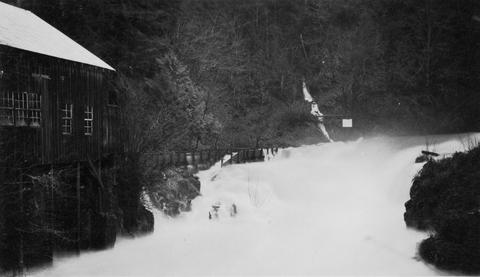
98. [Image] Cedar Creek Falls
 Cedar Creek Falls at high-water stage near Hall, Washington
Citation -
99. [Image] Muddy Fork of Cispus River
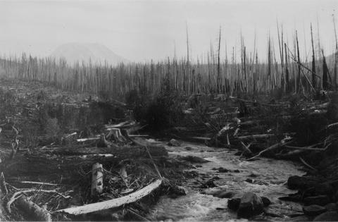 Muddy Fork of Cispus River which flows at 10 seconds per foot and is 20 feet wide. Mt Adams is in left background [Print is reversed]
Citation -
100. [Image] Mouth of East Canyon Creek
 Mouth of East Canyon Creek, a tributary to Cispus River, showing a 30 foot log jam
Citation