Search
You searched for:
Start Over
Historic stream surveys
Remove constraint Historic stream surveys
Subject
Rivers -- Washington
Remove constraint Subject: Rivers -- Washington
« Previous | 21 - 30 of 274 | Next »
Search Results
-
21. [Image] Niggerhead Creek falls (Yellowjacket Creek)
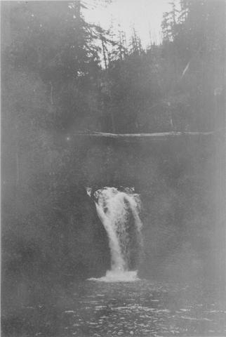 Falls on Niggerhead Creek 4 miles above road. The falls are 25 feet high
Citation -
22. [Image] Niggerhead Creek box canyon (Yellowjacket Creek)
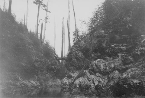 Looking down small box canyon on Niggerhead Creek, tributary to Cispus River, 500 yards above road bridge. The stream is 35 feet wide
Citation -
23. [Image] Silver Falls Creek
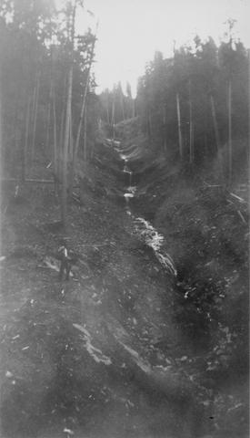 Silver Falls Creek, tributary to the Cispus River
Citation -
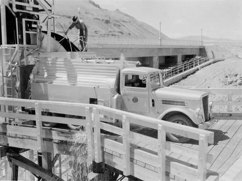
24. [Image] Central fish hoist and elevator
 Central fish hoist and elevator at Rock Island Dam
Citation -
25. [Image] Snagging for chinook salmon
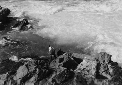 Indian snagging for chinook salmon at Kettle Falls
Citation -
26. [Image] Waterfalls on Grays River
 8 foot falls (so-called) below the "Big Slide" on the Grays River. Station 4 is about 4 miles above the Highway. Falls are the only obstruction on river
Citation -
27. [Image] Left fish trap
 Left (east) fish trap at Rock Island Dam
Citation -
28. [Image] Gail Falls
 Gail Falls on the Cispus River is 200 yards below Cat Creek. The falls are 30 feet high and 8 feet wide
Citation -
29. [Image] Watershed of Upper Cispus River
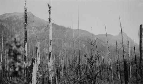 Watershed of Upper Cispus River showing extensive burn-over area and mountainous terrain
Citation -
30. [Image] Lamprey eels at the Bonneville Dam
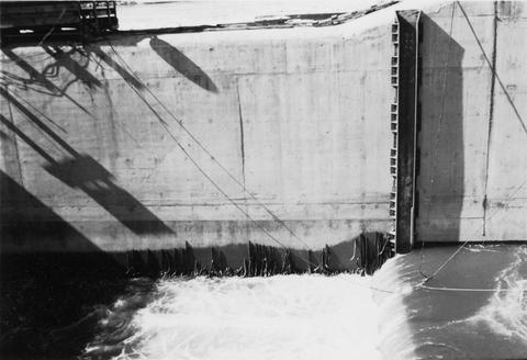 Lampreys are using a temporary fish ladder while the dam is under construction
Citation