Search
You searched for:
Start Over
Historic stream surveys
Remove constraint Historic stream surveys
Subject
Rivers -- Washington
Remove constraint Subject: Rivers -- Washington
« Previous | 41 - 60 of 274 | Next »
Search Results
-
41. [Image] Rock Island dam power plant and gates
-
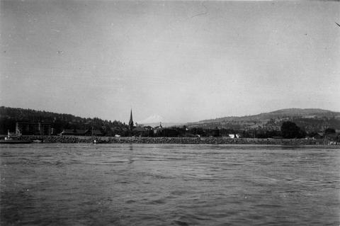
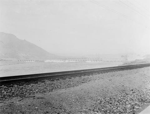
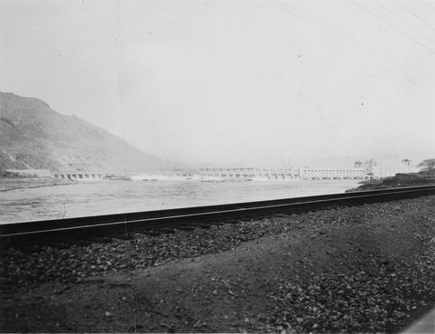
42. [Image] Columbia River at The Dalles, Oregon
-
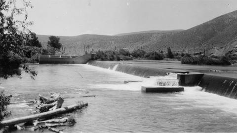
43. [Image] Wapato Dam
-
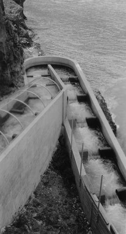
44. [Image] Rosa Dam Fish Ladder
-
45. [Image] Rock Island Dam
 Rock Island Dam on the Columbia River
Citation -
46. [Image] Rock Island Dam
 Rock Island Dam on the Columbia River
Citation -
47. [Image] Rock Island Dam
 Rock Island Dam on the Columbia River
Citation -
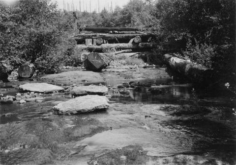
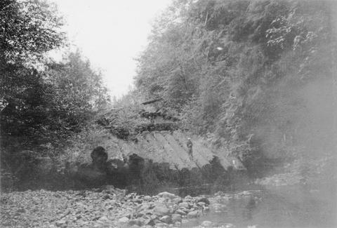
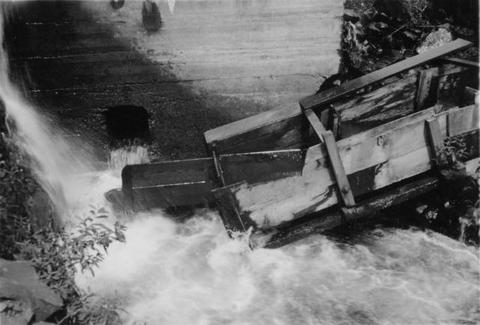
48. [Image] Mill dam on the Little Washougal River
-
49. [Image] Gail Falls
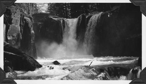 Gail Falls on Cispus River just below Cat Creek confluence
Citation -
50. [Image] Fish ladder
 Fish ladder on the Washougal River upper dam
Citation -
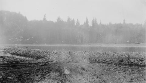
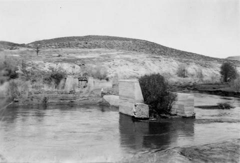
51. [Image] 9 mile dam on the Walla Walla River
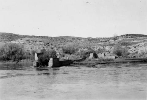 Dam has been blasted out.
Citation -
52. [Image] Screens and headgates
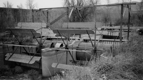 Screens and lower headgates on Selah - Moxee ditch
Citation -
53. [Image] Bonneville Dam
-
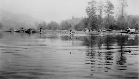
54. [Image] Old dam on Grays River
-
55. [Image] Central spillway at the Rock Island Dam
-
56. [Image] Dead dog salmon in Grays River
-
57. [Image] Dead dog salmon in Grays River
-
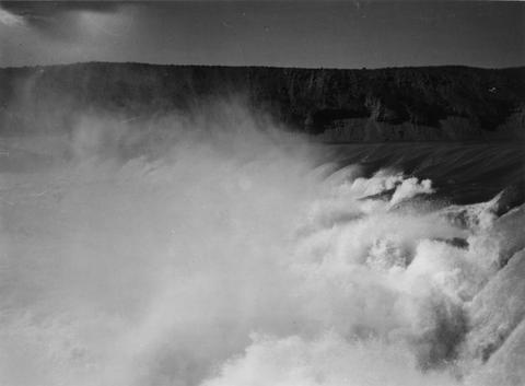
58. [Image] Palouse Falls
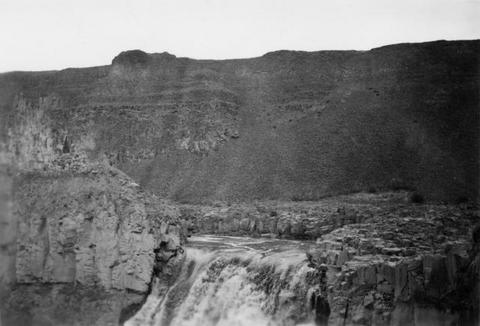 Palouse Falls on the Palouse River. The falls are 164 feet high
Citation -
59. [Image] 9 mile dam on the Walla Walla River
 Dam has been blasted out.
Citation -
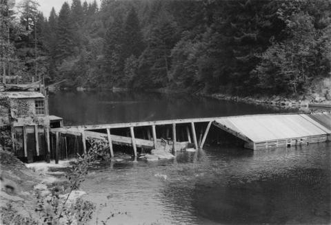
60. [Image] Lower dam on the Washougal River