Search
You searched for:
Start Over
Historic stream surveys
Remove constraint Historic stream surveys
Subject
Rivers -- Washington
Remove constraint Subject: Rivers -- Washington
Subject
Waterfalls
Remove constraint Subject: Waterfalls
« Previous | 31 - 40 of 64 | Next »
Search Results
-
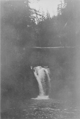
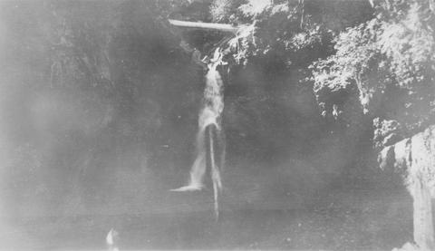
31. [Image] Timonium Creek falls
 75 foot series of falls on Timonium Creek near its confluence with the North Fork of the Cispus River. Indicates terrific flood stages
Citation -
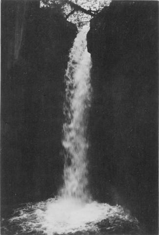
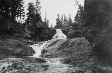
32. [Image] Cedar Creek Falls
 Cedar Creek Falls at high-water stage near Hall, Washington
Citation -
33. [Image] Niggerhead Creek falls (Yellowjacket Creek)
 Falls on Niggerhead Creek 4 miles above road. The falls are 25 feet high
Citation -
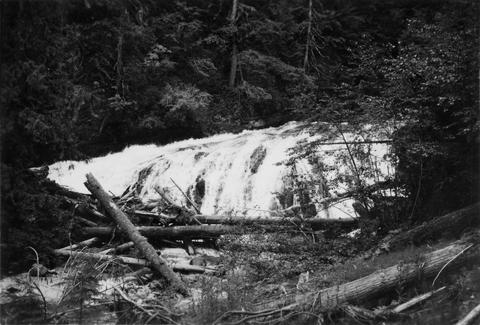
34. [Image] Falls on Goat Creek
 35 foot falls on Goat Creek, located 530 yards above its confluence with the Cowlitz River
Citation -
35. [Image] Lake Creek falls
 25 foot falls on Lake Creek two mile above its mouth. Lake Creek is the outlet of Packwood Lake in the Cowlitz River system
Citation -
36. [Image] Stratified sandstone falls on Coal Creek
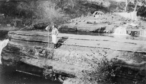 Coal Creek is a tributary to the Columbia River
Citation -
37. [Image] East Canyon Creek Falls
 Falls above mouth of East Canyon Creek, a tributary to the Cispus River
Citation -
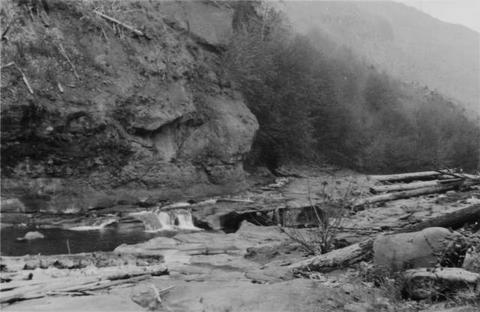
38. [Image] Falls on Rock Creek
 Upper part of series of falls on Rock Creek one mile above the Columbia River
Citation -
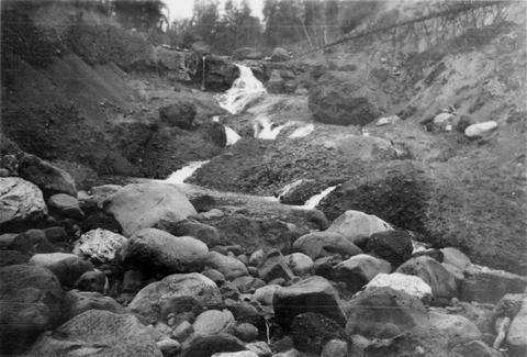
39. [Image] Fast cascades
 Fast cascades over bedrock on Rock Creek four miles above the mouth. It is a barrier to fish at low water.
Citation -
40. [Image] Rock Creek falls near Stevenson, Washington
 View of impassable series of falls one mile above the mouth of Rock Creek
Citation