Search
You searched for:
Start Over
Grande Ronde volcano
Remove constraint Grande Ronde volcano
Subject
Rivers -- Oregon
Remove constraint Subject: Rivers -- Oregon
« Previous | 1 - 10 of 21 | Next »
Search Results
-
The project was funded by the United States Department of Energy. Contract No. EG-77-S-07-1691 through the Idaho Water Resources Research Institute.
Citation -
 The Grande Ronde River enters on the left and is very muddy but Dairy Canyon Creek is crystal clear.. Photo taken near La Grande, Oregon.
Citation -
3. [Image] Dairy Canyon Creek
 Confluence Dairy Canyon Creek with the Grande Ronde River showing mining silt in the latter
Citation -
4. [Image] Joseph Creek Canyon
 Joseph Creek, tributary to Grande Ronde River;. Photo taken from "Cape Horn" on the road between Enterprise and Troy, Oregon
Citation -
5. [Image] Grande Ronde River
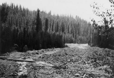 A section of the upper Grande Ronde River. Shows damage to stream bed caused by mining dredge operation
Citation -
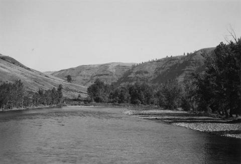
6. [Image] Wenaha River
 Shows the Wenaha River upstream from confluence with Grande Ronde River at Troy, Oregon
Citation -
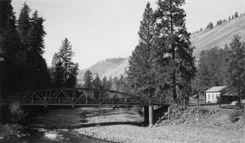
8. [Image] Lower Grande Ronde River
 Lower section of Grande Ronde River looking downstream from bridge at Troy, Oregon
Citation -
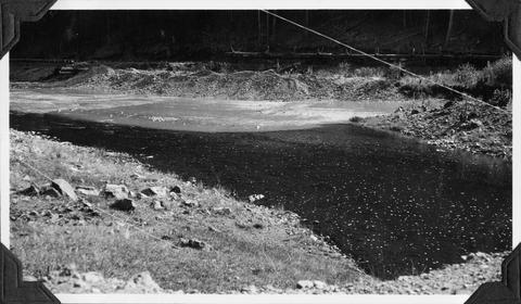
 Line where the clear Dairy Canyon Creek enters the extermely turbid Grande Ronde River
Citation -
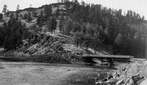
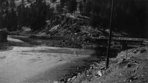
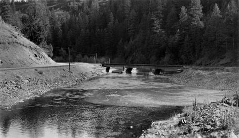
10. [Image] Gravel dredging
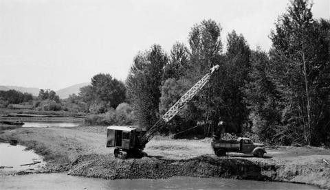 Gravel dredging on the Grande Ronde River looking upstream from the highway bridge near Island City, Oregon
Citation