Search
You searched for:
Start Over
Historic stream surveys
Remove constraint Historic stream surveys
Subject
Rivers -- Oregon
Remove constraint Subject: Rivers -- Oregon
« Previous | 1 - 50 of 162 | Next »
Search Results
-
3. [Image] Youngs River near Astoria, Oregon
-
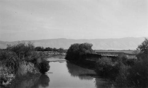
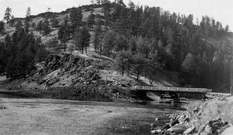
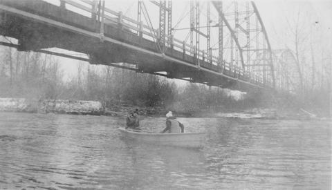
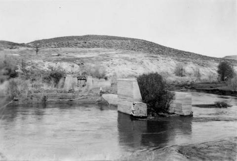
4. [Image] Grande Ronde River
 Looking upstream from bridge at Palmer Junction, Oregon
Citation -
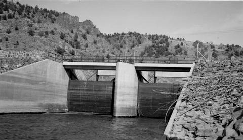
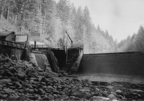
5. [Image] Marmot Dam on the Sandy River
-
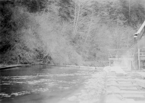
6. [Image] Entrance of fish ladder on Marmot Dam
-
7. [Image] Marmot Dam on the Sandy River
-
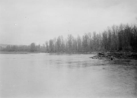
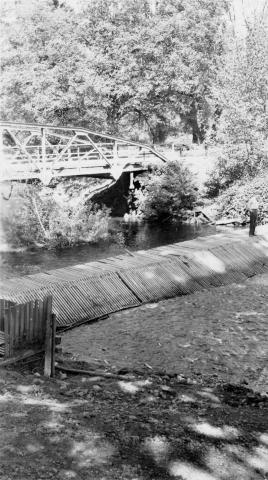
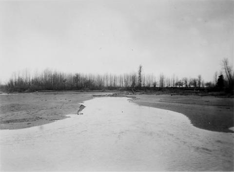
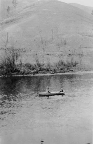
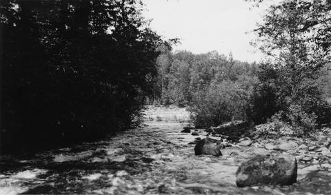
8. [Image] Surveying Yakima River
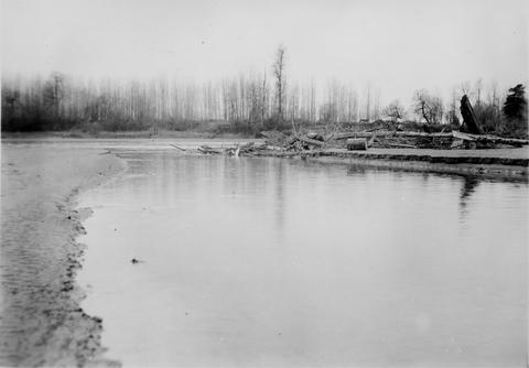
 Mitch Hanavan at oars and Dick Whiteleather on stream survey of the Yakima River
Citation -
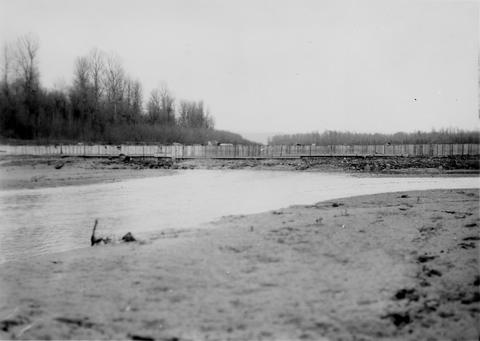
10. [Image] Dam on Milton Creek near St Helens, Oregon
-
11. [Image] Dam on Milton Creek near St Helens, Oregon
-
12. [Image] Dam on Milton Creek near St Helens, Oregon
-
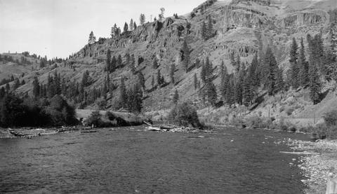
13. [Image] Grande Ronde River
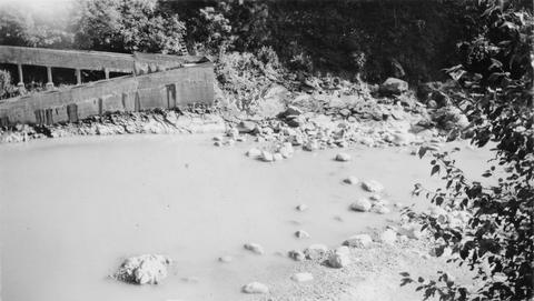
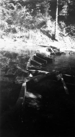
 A section of the upper Grande Ronde River. Shows damage to stream bed caused by mining dredge operation
Citation -
14. [Image] Tide Creek gate pipes and dike
-
15. [Image] Oregon State hatchery rack on Big Creek
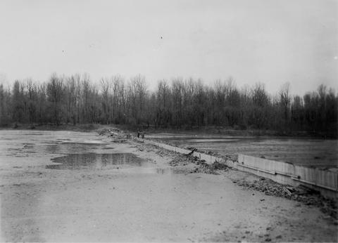
-
16. [Image] Goble Creek falls
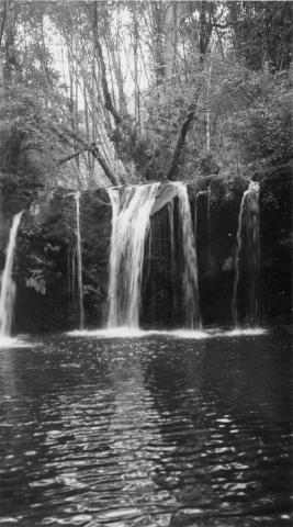 View of impassable falls on Goble Creek
Citation -
17. [Image] Surveying Yakima River
 Mitch Hanavan and Dick Whiteleather surveying Yakima River in Ellensburg Canyon
Citation -
18. [Image] Surveying the Yakima River
 Mitch Hanavan and Dick Whiteleather in boat surveying the Yakima River
Citation -
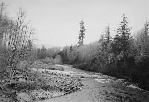
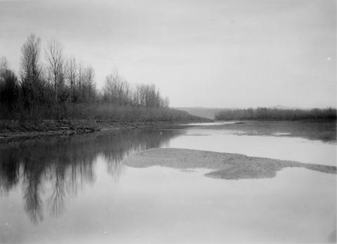
19. [Image] Deschutes River horseshoe
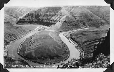 The horseshoe bend in the Deschutes River, Oregon
Citation -
20. [Image] Gordon Creek rearing pong site
 Rearing pond site at mouth of Gordon Creek, tributary to Sandy River
Citation -
21. [Image] Gordon Creek rearing pong site
 Rearing pond site at mouth of Gordon Creek, tributary to Sandy River
Citation -
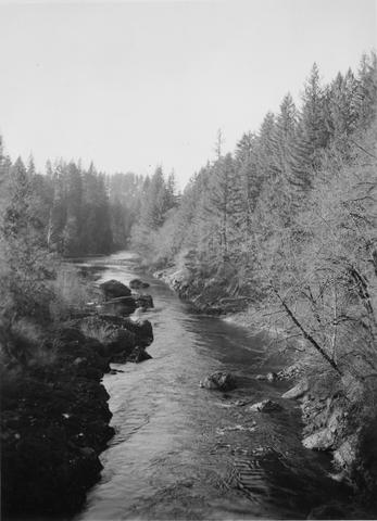
22. [Image] Sandy River
-
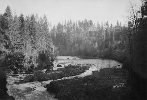
23. [Image] Big Sandy River
-
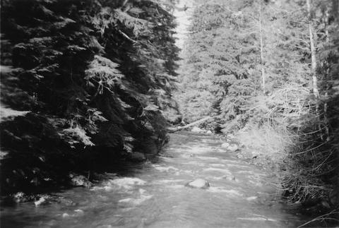
24. [Image] Big Sandy River just above Clear Creek
-
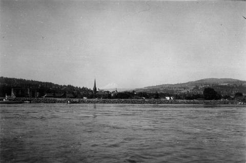
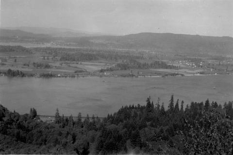
25. [Image] Columbia River at The Dalles, Oregon
-
26. [Image] Dairy Canyon Creek
 Confluence Dairy Canyon Creek with the Grande Ronde River showing mining silt in the latter
Citation -
27. [Image] Little Sandy Channel
-
28. [Image] Mouth of Gordon Creek
 Looking downstream to mouth of Gordon Creek, a tributary to the Sandy River
Citation -
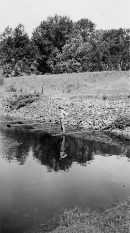
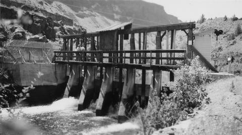
29. [Image] 9 mile dam on the Walla Walla River
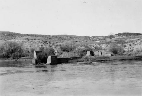 Dam has been blasted out.
Citation -
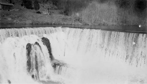
30. [Image] Bonneville Dam
-
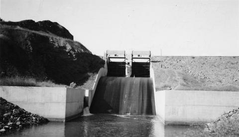
31. [Image] Headgates to Cove power canal
-
32. [Image] Big Sandy Channel
 Looking downstream from top of dam
Citation -
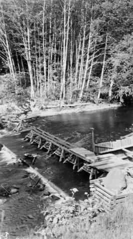
33. [Image] River Mill Dam fish ladder
 Fishway over River Mill Dam on the Clackamas River
Citation -
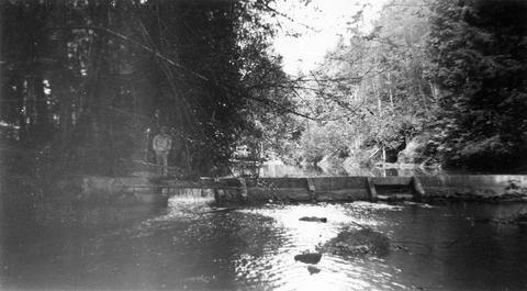
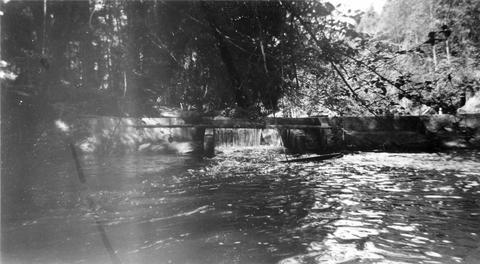
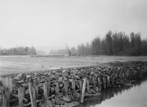
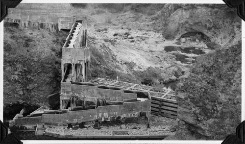
34. [Image] Big Sandy channel diversion dam
-
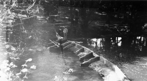
35. [Image] Big Sandy channel dam
-
36. [Image] Big Sandy channel dam
-
37. [Image] Upper end of State Ditch looking downstream
-
39. [Image] 9 mile dam on the Walla Walla River
 Dam has been blasted out.
Citation -
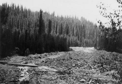
40. [Image] Gravel dredging
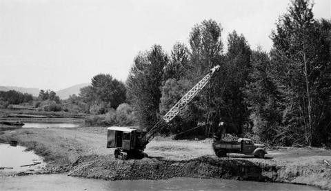 Gravel dredging on the Grande Ronde River looking upstream from the highway bridge near Island City, Oregon
Citation -
41. [Image] Unity Dam on Burnt River
-
43. [Image] Unity Dam on Burnt River, Oregon
-
44. [Image] Dairy Canyon Creek
 Confluence Dairy Canyon Creek with Grande Ronde, showing mining silt in latter
Citation -
45. [Image] Columbia River at Puget Island
-
46. [Image] Big Sandy River at Sleepy Hollow
-
47. [Image] Big Sandy Channel looking upstream
-
48. [Image] Big Sandy Channel
-
49. [Image] Little Sandy dam
-
50. [Image] Little Sandy dam