Search
You searched for:
Start Over
Historic stream surveys
Remove constraint Historic stream surveys
Subject
Rivers -- Oregon
Remove constraint Subject: Rivers -- Oregon
« Previous | 1 - 50 of 162 | Next »
Search Results
-
This study was undertaken to evaluate the occurrence and characteristics of undercut streambanks in forested headwater streams of the Oregon Coast Range. Undercut streambanks and associated reach characteristics ...
Citation -
The project was funded by the United States Department of Energy. Contract No. EG-77-S-07-1691 through the Idaho Water Resources Research Institute.
Citation -
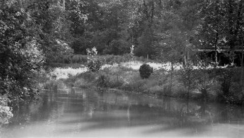
3. [Image] Sports fishery
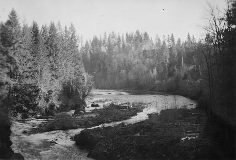
 Sports fishery along left shore (Oregon side) of Columbia River below mouth of Sandy River
Citation -
4. [Image] White River falls
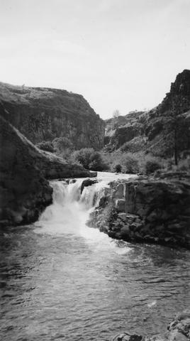 18 foot falls on the White River, tributary to the Deschutes River, several hundred yards below power plant. Upper falls can be seen faintly in background
Citation -
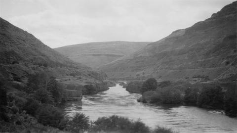
6. [Image] Deschutes River horseshoe
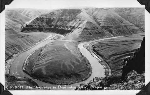 The horseshoe bend in the Deschutes River, Oregon
Citation -
9. [Image] Diversion dam near Prineville, Oregon
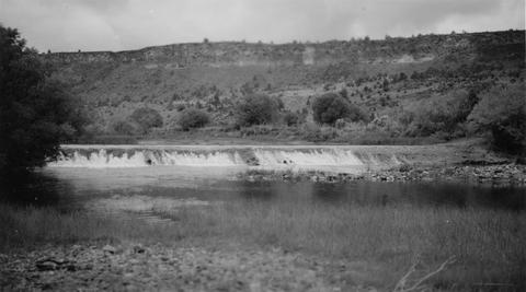 Crooked River diversion dam
Citation -
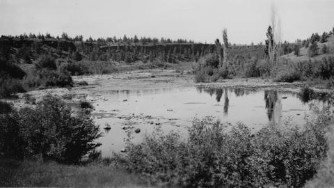
10. [Image] Deschutes River above Bend, Oregon
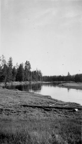 Typical slow water section of Deschutes River above Bend, Oregon and Lava Island Falls
Citation -
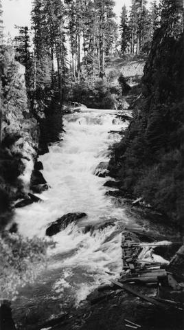
11. [Image] View above Steelhead Falls
 View of Deschutes River a short distance above Steelhead Falls
Citation -
12. [Image] Deschutes River
 View of Deschutes River just above confluence with Buck Hollow Creek
Citation -
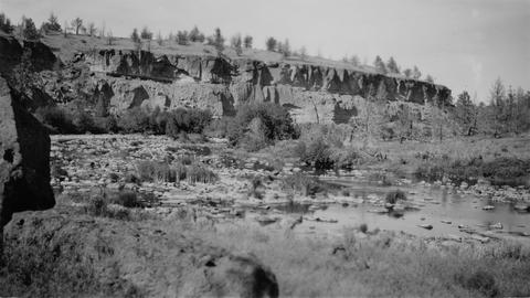
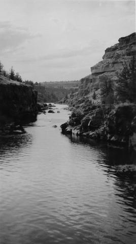
13. [Image] Carved basalt
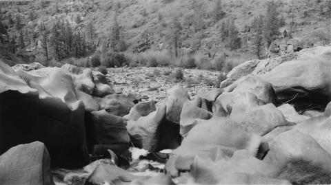 Carved basalt holding up crest of Big Falls on the Deschutes River
Citation -
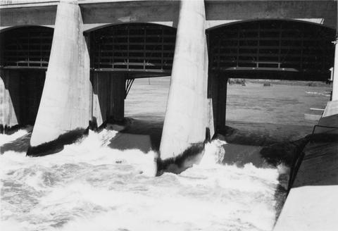
14. [Image] Lamprey eels at the Bonneville Dam
 Lampreys are using a temporary fish ladder while the dam is under construction
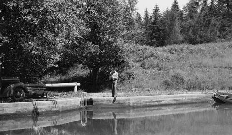
Citation -
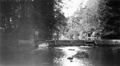
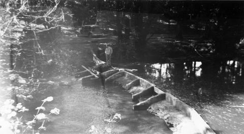
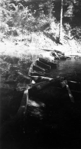
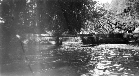
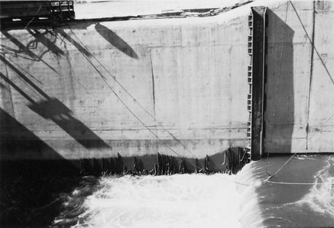
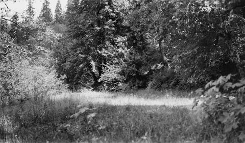
15. [Image] Roll way at the Bonneville Dam
-
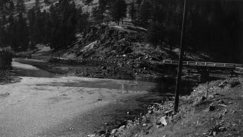
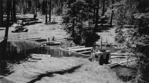
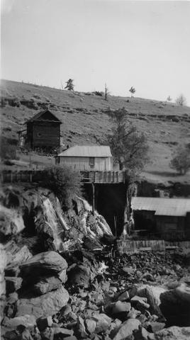
16. [Image] Jack Creek dam
 Jack Creek is a tributary of Metolius River. Upper dam is found at S31, T12S, R9E
Citation -
17. [Image] Benham Falls
 Main part of Benham Falls on the Deschutes River. Upstream view
Citation -
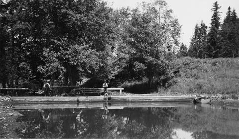
18. [Image] Gordon Creek rearing pong site
 Rearing pond site at mouth of Gordon Creek, tributary to Sandy River
Citation -
19. [Image] Gordon Creek rearing pong site
 Rearing pond site at mouth of Gordon Creek, tributary to Sandy River
Citation -
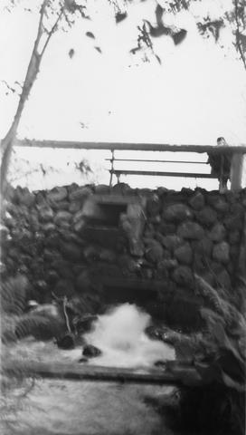
20. [Image] Fish pond outlet
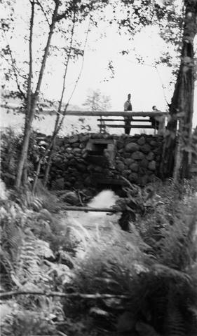 Outlet of JP Farola's fish pond located just below Bull Run Reservoir on the Sandy River System
Citation -
21. [Image] JP Farola's fish pond
 JP Farola's fish pond is located just below Bull Run Reservoir on Sandy River System. Pond is half drained
Citation -
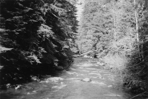
22. [Image] Little Sandy River
 Little Sandy River above dam showing outlet of Marmot diversion tunnel
Citation -
23. [Image] Little Sandy River
 Little Sandy River above dam showing outlet of Marmot diversion tunnel
Citation -
24. [Image] Fish pond outlet
 Looking downstream from outlet of Mr Joseph P Farola's fish pond located just below Bull Run Power Reservoir, part of the Sandy River System, shows size of water supply for proposed rearing pond
Citation -
25. [Image] Dam on Milton Creek near St Helens, Oregon
-
26. [Image] Lava Island Falls
 Part of Lava Island Falls on the Deschutes River
Citation -
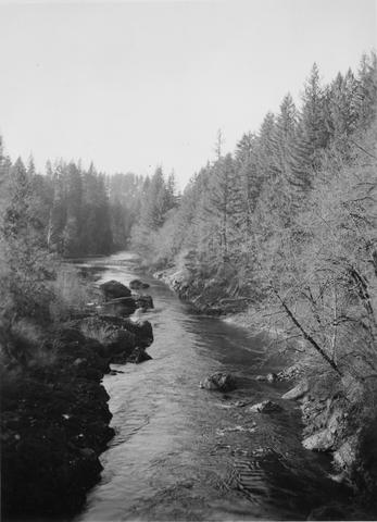
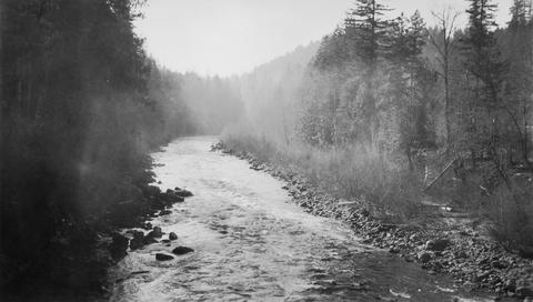
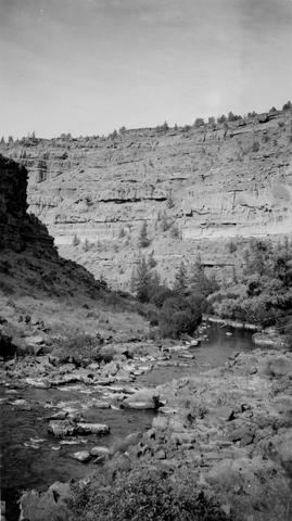
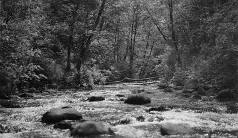
27. [Image] Crooked River
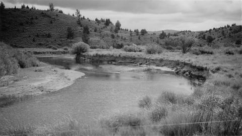 Typical section of stream near Post, Oregon
Citation -
28. [Image] Squaw Creek
 Squaw Creek near bridge on Santiam Highway. River is entirely dry because of irrigation
Citation -
29. [Image] Above Big Falls
 View of Deschutes River a short distance above Big Falls
Citation -
 The Grande Ronde River enters on the left and is very muddy but Dairy Canyon Creek is crystal clear.. Photo taken near La Grande, Oregon.
Citation -
31. [Image] Jack Creek dam
 Jack Creek is a tributary of Metolius River. Upper dam is found at S31, T12S, R9E
Citation -
32. [Image] Rotating screens and spillway
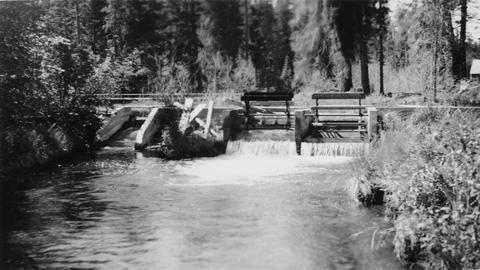 Rotating screens and spillway in dam at outlet of Suttle Lake on Lake Creek, a tributary of the Metolius River
Citation -
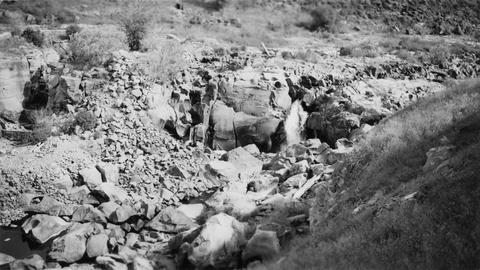
33. [Image] Columbia River near Big Eddy
-
34. [Image] Gordon Creek
 Looking upstream 100 yards above mouth of Gordon Creek, tributary to Sandy River. Photo shows water supply for rearing pond site
Citation -
35. [Image] Sports fishery
 Sport fishery along left shore (Oregon side) of Columbia River below mouth of Sandy River
Citation -
36. [Image] Cline Falls
 Cline Falls and power plant. Falls are almost dry during irrigation season.
Citation -
37. [Image] View of watershed at Hot Springs
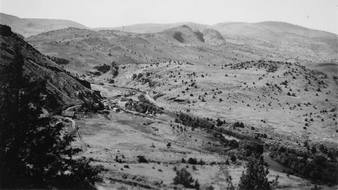 Warm Springs River and watershed area
Citation -
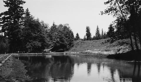
39. [Image] Lower end of JP Farola's fish pond
 Lower end of JP Farola's fish pond located just below Bull Run Reservoir on Sandy River Sysem
Citation -
40. [Image] Fish pond outlet
 Outlet from Joseph P Farola's fish pond located just below Bull Run Power Reservoir on the Sandy River System
Citation -
41. [Image] Trout pond
 Trout pond is located on property of Mr Will R Lewis. It derives water from stream from Bull Run Reservoir. This pond is part of the Sandy River System
Citation -
42. [Image] Sandy River
-
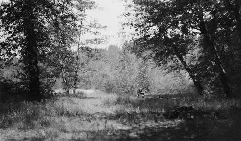
43. [Image] Big Sandy River
-
44. [Image] Big Sandy River just above Clear Creek
-
46. [Image] Lower end of JP Farola's fish pond
 Lower end of JP Farola's fish pond located just below Bull Run Reservoir on Sandy River Sysem
Citation -
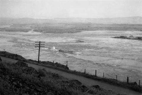
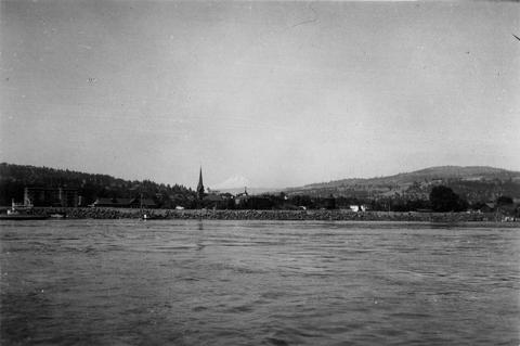
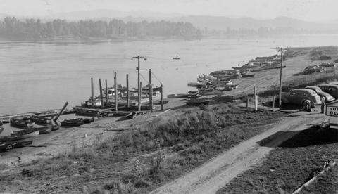
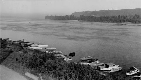
47. [Image] Columbia River at The Dalles, Oregon
-
49. [Image] Deschutes River
 Deschutes River immediately below Steelhead Falls
Citation -
50. [Image] Hanavan and Whiteleather along the Yakima River
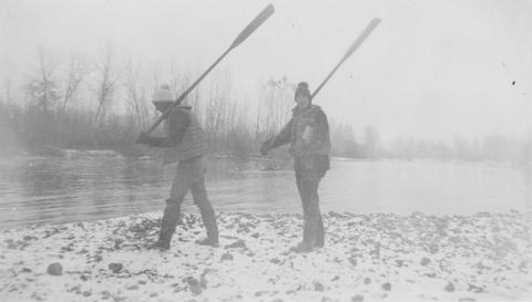 Mitch Hanavan and Dick Whiteleather with oars along the Yakima River
Citation