Search
You searched for:
Start Over
Historic stream surveys
Remove constraint Historic stream surveys
Subject
Rivers -- Oregon
Remove constraint Subject: Rivers -- Oregon
« Previous | 1 - 20 of 162 | Next »
Search Results
-
This study was undertaken to evaluate the occurrence and characteristics of undercut streambanks in forested headwater streams of the Oregon Coast Range. Undercut streambanks and associated reach characteristics ...
Citation -
The project was funded by the United States Department of Energy. Contract No. EG-77-S-07-1691 through the Idaho Water Resources Research Institute.
Citation -
3. [Image] Sports fishery
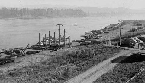 Sports fishery along left shore (Oregon side) of Columbia River below mouth of Sandy River
Citation -
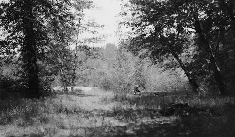
4. [Image] White River falls
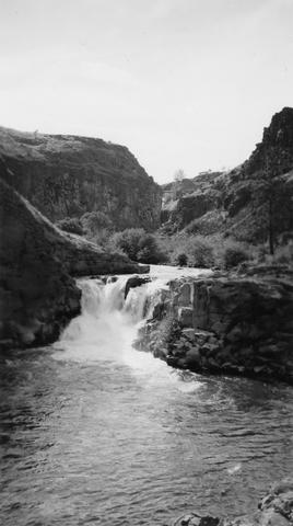 18 foot falls on the White River, tributary to the Deschutes River, several hundred yards below power plant. Upper falls can be seen faintly in background
Citation -
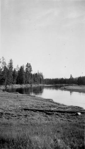
6. [Image] Deschutes River horseshoe
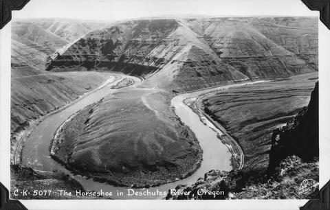 The horseshoe bend in the Deschutes River, Oregon
Citation -
9. [Image] Diversion dam near Prineville, Oregon
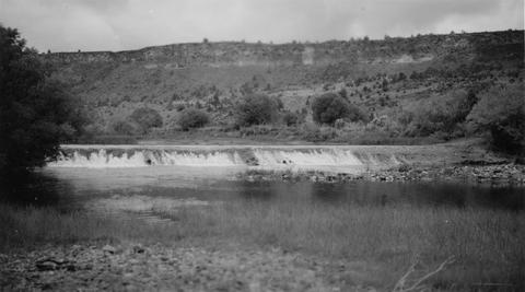 Crooked River diversion dam
Citation -
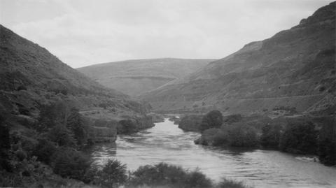
10. [Image] Deschutes River above Bend, Oregon
 Typical slow water section of Deschutes River above Bend, Oregon and Lava Island Falls
Citation -
11. [Image] View above Steelhead Falls
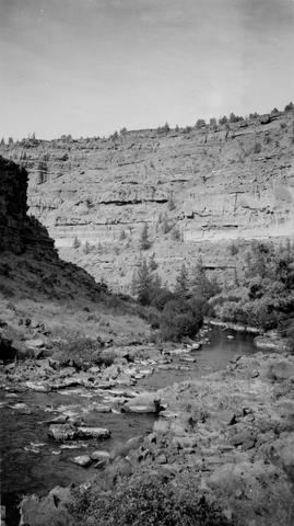 View of Deschutes River a short distance above Steelhead Falls
Citation -
12. [Image] Deschutes River
 View of Deschutes River just above confluence with Buck Hollow Creek
Citation -
13. [Image] Carved basalt
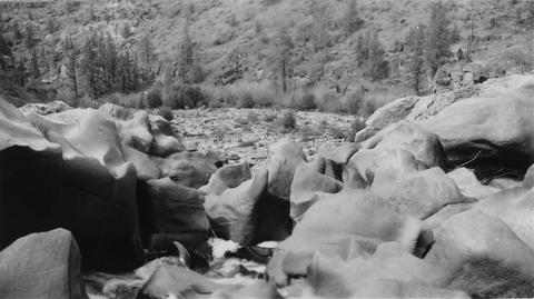 Carved basalt holding up crest of Big Falls on the Deschutes River
Citation -
14. [Image] Lamprey eels at the Bonneville Dam
 Lampreys are using a temporary fish ladder while the dam is under construction
Citation -
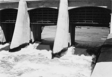
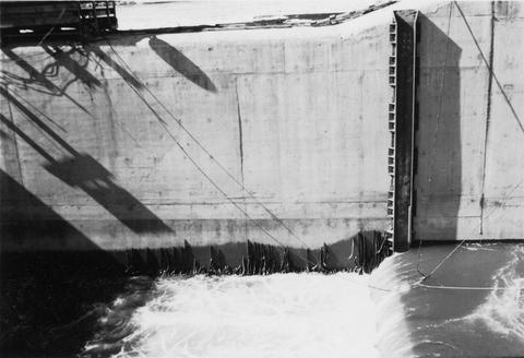
15. [Image] Roll way at the Bonneville Dam
-
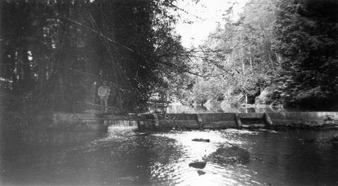
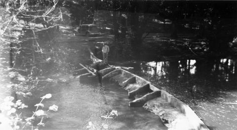
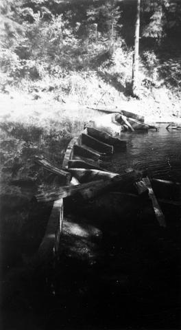
16. [Image] Jack Creek dam
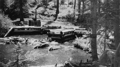 Jack Creek is a tributary of Metolius River. Upper dam is found at S31, T12S, R9E
Citation -
17. [Image] Benham Falls
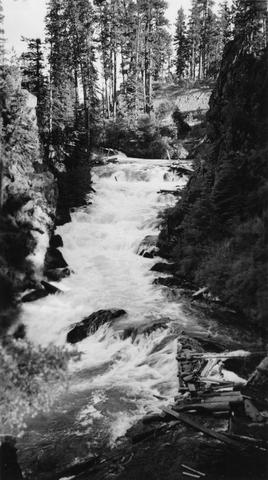 Main part of Benham Falls on the Deschutes River. Upstream view
Citation -
18. [Image] Gordon Creek rearing pong site
 Rearing pond site at mouth of Gordon Creek, tributary to Sandy River
Citation -
19. [Image] Gordon Creek rearing pong site
 Rearing pond site at mouth of Gordon Creek, tributary to Sandy River
Citation -
20. [Image] Fish pond outlet
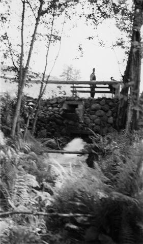 Outlet of JP Farola's fish pond located just below Bull Run Reservoir on the Sandy River System
Citation