Search
You searched for:
Start Over
Historic stream surveys
Remove constraint Historic stream surveys
Subject
Rivers -- Oregon
Remove constraint Subject: Rivers -- Oregon
« Previous | 81 - 100 of 162 | Next »
Search Results
-
81. [Image] Little Sandy River
 Little Sandy River above dam showing outlet of Marmot diversion tunnel
Citation -
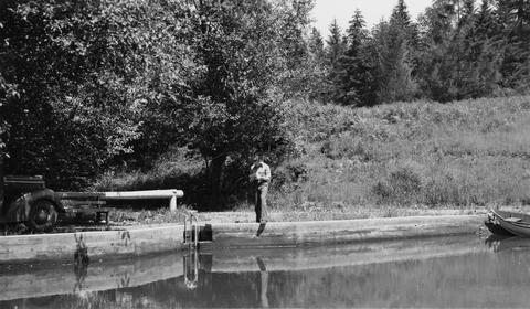
82. [Image] Fish pond outlet
 Looking downstream from outlet of Mr Joseph P Farola's fish pond located just below Bull Run Power Reservoir, part of the Sandy River System, shows size of water supply for proposed rearing pond
Citation -
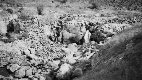
83. [Image] Lava Island Falls
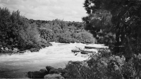 Part of Lava Island Falls on the Deschutes River
Citation -
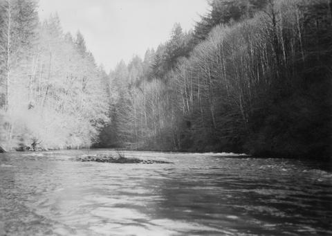
84. [Image] Above Big Falls
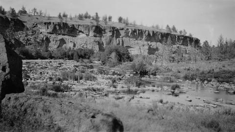 View of Deschutes River a short distance above Big Falls
Citation -
 The Grande Ronde River enters on the left and is very muddy but Dairy Canyon Creek is crystal clear.. Photo taken near La Grande, Oregon.
Citation -
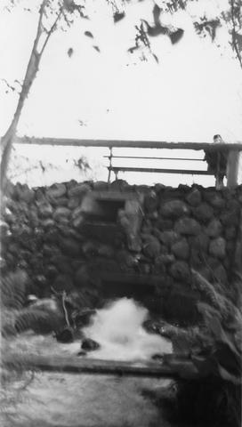
86. [Image] Rotating screens and spillway
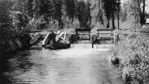 Rotating screens and spillway in dam at outlet of Suttle Lake on Lake Creek, a tributary of the Metolius River
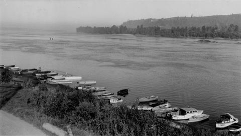
Citation -
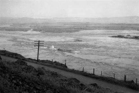
87. [Image] Columbia River near Big Eddy
-
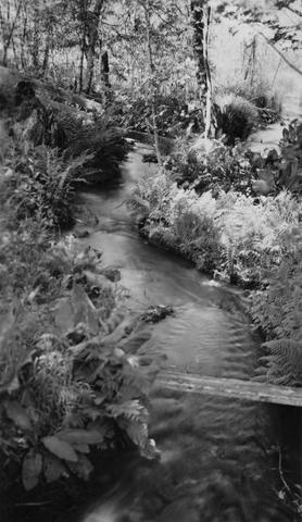
88. [Image] Gordon Creek
 Looking upstream 100 yards above mouth of Gordon Creek, tributary to Sandy River. Photo shows water supply for rearing pond site
Citation -
89. [Image] Sports fishery
 Sport fishery along left shore (Oregon side) of Columbia River below mouth of Sandy River
Citation -
90. [Image] Cline Falls
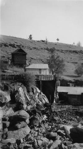 Cline Falls and power plant. Falls are almost dry during irrigation season.
Citation -
91. [Image] View of watershed at Hot Springs
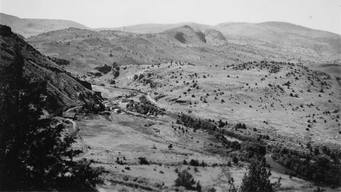 Warm Springs River and watershed area
Citation -
93. [Image] Lower end of JP Farola's fish pond
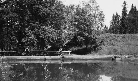 Lower end of JP Farola's fish pond located just below Bull Run Reservoir on Sandy River Sysem
Citation -
94. [Image] Fish pond outlet
 Outlet from Joseph P Farola's fish pond located just below Bull Run Power Reservoir on the Sandy River System
Citation -
95. [Image] Lower end of JP Farola's fish pond
 Lower end of JP Farola's fish pond located just below Bull Run Reservoir on Sandy River Sysem
Citation -
96. [Image] Deschutes River
 Deschutes River immediately below Steelhead Falls
Citation -
97. [Image] Hanavan and Whiteleather along the Yakima River
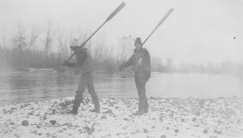 Mitch Hanavan and Dick Whiteleather with oars along the Yakima River
Citation -
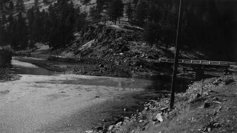
98. [Image] Maupin, Oregon
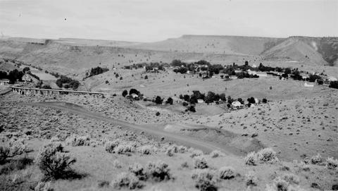 Town of Maupin, Oregon near the Deschutes River
Citation -
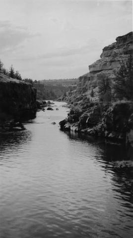
99. [Image] Joseph Creek Canyon
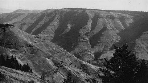 Joseph Creek, tributary to Grande Ronde River;. Photo taken from "Cape Horn" on the road between Enterprise and Troy, Oregon
Citation -
100. [Image] Temporary fish ladder
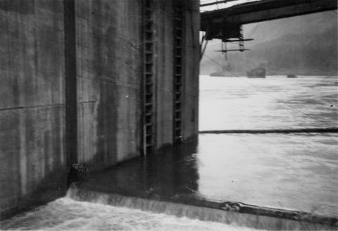 Temporary ladder on the Oregon side of the Bonneville Dam
Citation