Search
You searched for:
Start Over
Historic stream surveys
Remove constraint Historic stream surveys
Subject
Rivers -- Oregon
Remove constraint Subject: Rivers -- Oregon
« Previous | 21 - 30 of 162 | Next »
Search Results
-
21. [Image] JP Farola's fish pond
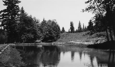 JP Farola's fish pond is located just below Bull Run Reservoir on Sandy River System. Pond is half drained
Citation -
22. [Image] Little Sandy River
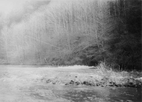 Little Sandy River above dam showing outlet of Marmot diversion tunnel
Citation -
23. [Image] Little Sandy River
 Little Sandy River above dam showing outlet of Marmot diversion tunnel
Citation -
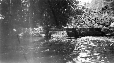
24. [Image] Fish pond outlet
 Looking downstream from outlet of Mr Joseph P Farola's fish pond located just below Bull Run Power Reservoir, part of the Sandy River System, shows size of water supply for proposed rearing pond
Citation -
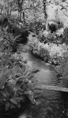
25. [Image] Dam on Milton Creek near St Helens, Oregon
-
26. [Image] Lava Island Falls
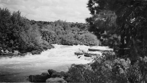 Part of Lava Island Falls on the Deschutes River
Citation -
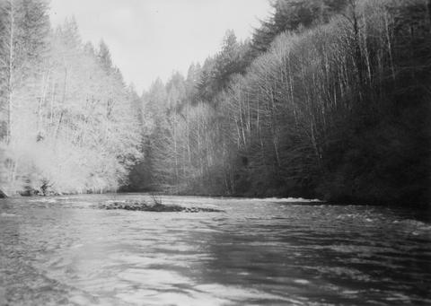
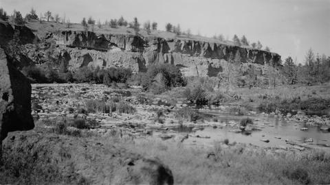
27. [Image] Crooked River
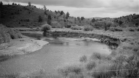 Typical section of stream near Post, Oregon
Citation -
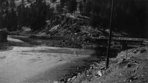
28. [Image] Squaw Creek
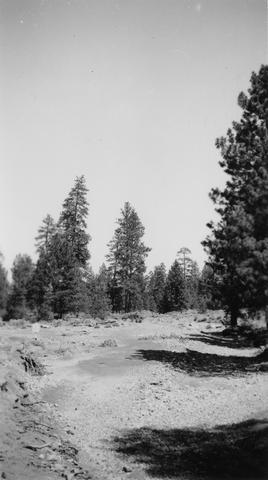 Squaw Creek near bridge on Santiam Highway. River is entirely dry because of irrigation
Citation -
29. [Image] Above Big Falls
 View of Deschutes River a short distance above Big Falls
Citation -
 The Grande Ronde River enters on the left and is very muddy but Dairy Canyon Creek is crystal clear.. Photo taken near La Grande, Oregon.
Citation