Search
You searched for:
Start Over
Historic stream surveys
Remove constraint Historic stream surveys
Subject
Rivers -- Oregon
Remove constraint Subject: Rivers -- Oregon
« Previous | 101 - 162 of 162 | Next »
Search Results
-
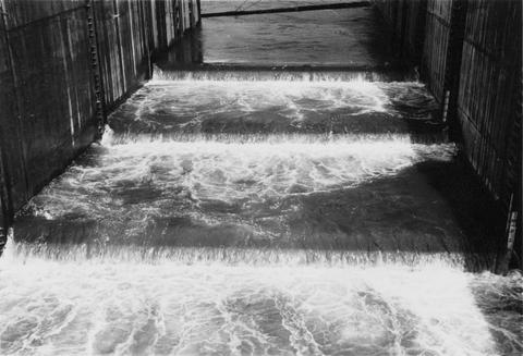
101. [Image] Temporary fish ladder
 Entrance to temporary fish ladder at the Bonneville Dam
Citation -
102. [Image] Temporary fish ladder
 Entrance to temporary fish ladder at the Bonneville Dam
Citation -
103. [Image] Portland water supply dam
 Portland water supply dam on Bull Run River
Citation -
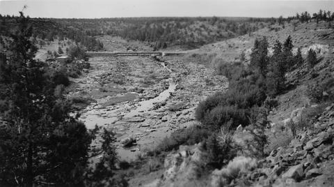
104. [Image] Deschutes River
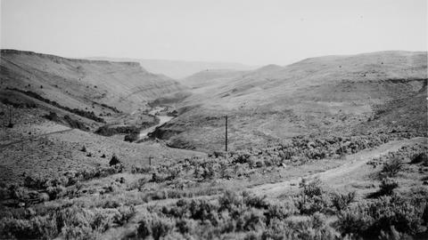 View of Deschutes River Valley just below Maupin, Oregon
Citation -
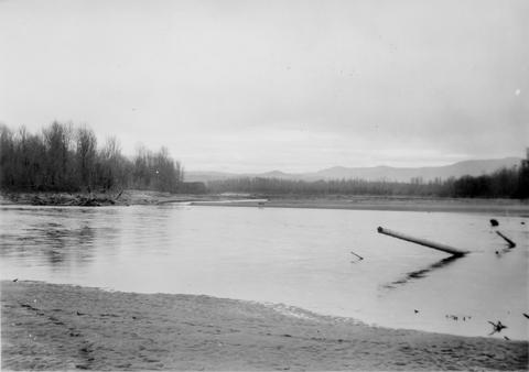
105. [Image] Sandy River near mouth
 View is looking downstream from top of dam
Citation -
106. [Image] Paulina Falls
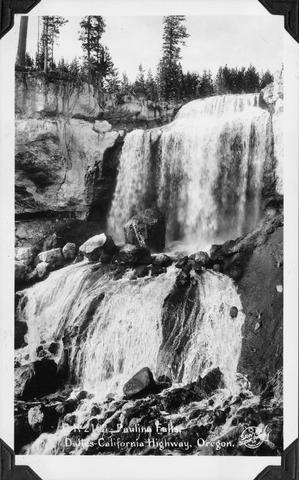 Paulina Falls on The Dalles to California Highway, Oregon (US 97)
Citation -
107. [Image] Temporary fish ladder
 Temporary ladder on the Oregon side of the Bonneville Dam
Citation -
108. [Image] Releasing marked fish
 Releasing marked fish above Bonneville Dam with the anal and right vental removed
Citation -
109. [Image] Releasing marked fish
 Releasing marked fish above Bonneville Dam with the anal and right vental removed
Citation -
110. [Image] View of Crooked River
 View of Crooked River near near Cove
Citation -
111. [Image] Warrenton water supply dam
 City of Warrenton water supply dam on the Lewis and Clark River. The main dam which was far below this washed out and was to be rebuilt in 1946
Citation -
112. [Image] Warrenton water supply
 City of Warrenton water supply dam on the Lewis and Clark River. ;The main dam washed out and was to be rebuilt in 1946. The dam will have a fish ladder
Citation -
113. [Image] Lumber mill dam at Carlton, Oregon
 Lumber mill dam on North Fork Yamhill River. Dam is an obstruction to migratory fish
Citation -
114. [Image] Wallowa River
 Wallowa River looking upstream from bridge at Minam, Oregon. Minam River is shown coming in on the right
Citation -
115. [Image] Wenaha River
 Shows the Wenaha River upstream from confluence with Grande Ronde River at Troy, Oregon
Citation -
116. [Image] Salmon River, Oregon
 Salmon River, a tributary of the Big Sandy River which is a suitable salmon spawning area
Citation -
117. [Image] Lower Grande Ronde River
 Lower section of Grande Ronde River looking downstream from bridge at Troy, Oregon
Citation -
 Line where the clear Dairy Canyon Creek enters the extermely turbid Grande Ronde River
Citation -
119. [Image] Wenaha confluence
 Wenaha River in the foreground. Photo was taken from the hill in back of Troy, Oregon
Citation -
120. [Image] Dam at Oregon state hatchery
 Dam at Oregon state hatchery on the North Fork Klaskanine River
Citation -
121. [Image] Grande Ronde River power diversion dam
 Grande Ronde River showing power diversion at point between La Grande and Island City. Supplies water power to flour mill in Island City. No protective devices and no by-pass
Citation -
122. [Image] Power diversion dam across Grande Ronde River
 Grande Ronde River with power diversion dam completely across the river. It is a barrier for fish at low water when only seepage escapes downstream. Dam is located between La Grande and Island City, Oregon ...
Citation -
123. [Image] Minam River
 Minam River (tributary to Wallowa, River) looking upstream from Cape Horn Point
Citation -
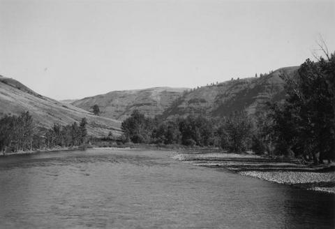
124. [Image] Grande Ronde River
 View of the Grande Ronde River from the road to Troy from Enterprise, Oregon
Citation -
125. [Image] Wenaha River
 Shows the Wenaha River upstream from confluence with Grande Ronde River at Troy, Oregon
Citation -
126. [Image] Minam River
 Minam River (tributary to Wallowa, River) looking upstream from Cape Horn Point
Citation -
127. [Image] Grande Ronde River near Cove, Oregon
 In old Grande Ronde River channel meander. Photo shows the small volume of water which comes from Catherine Creek and Ladd Creek
Citation -
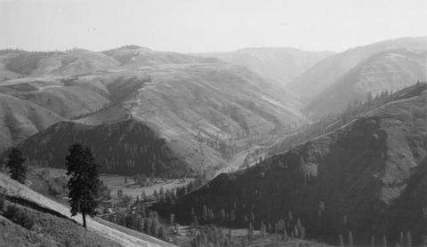
128. [Image] Joseph Creek Canyon
 Joseph Creek, tributary to Grande Ronde River. Photo taken from ridge near Flora, Oregon
Citation -
129. [Image] Joseph Creek Canyon
 Joseph Creek, tributary to Grande Ronde River. Photo taken from ridge near Flora, Oregon
Citation -
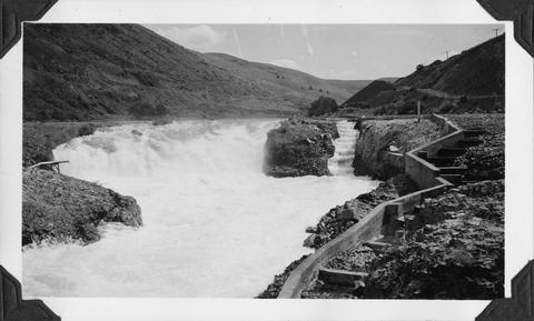
130. [Image] South Fork Burnt River
 Looking upstream from upper reservoir dam on the South Fork Burnt River
Citation -
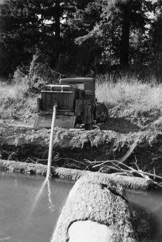
131. [Image] North Fork Burnt River irrigation diversion
 Photo shows irrigation diversion, almost completely diverting flow
Citation -
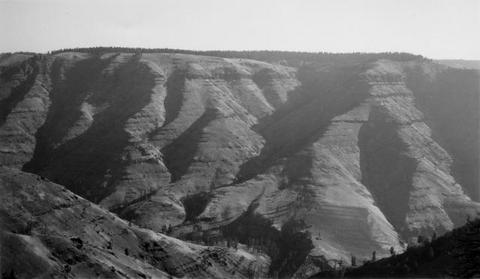
132. [Image] View of Crooked River
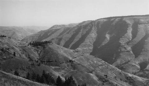
 View of Crooked River near near Cove
Citation -
133. [Image] Diversion dam for Cove power canal
 Diversion dam on Crooked River for Cove power canal
Citation -
134. [Image] Broken-down fish ladder over Steelhead Falls
 Broken-down fish ladder over Steelhead Falls on the Deschutes River
Citation -
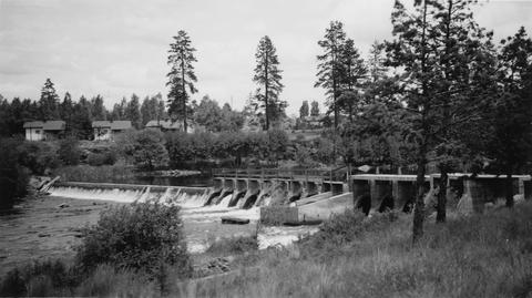
135. [Image] North Canal Dam
 North Canal dam at northern city limits of Bend, Oregon on the Deschutes River
Citation -
136. [Image] Deschutes River irrigation dam
 Deschutes River irrigation dam 1/4 mile below the Pacific, Power and Lights dam in Bend, Oregon
Citation -
137. [Image] Carved basalt forming brink of Cline Falls
-
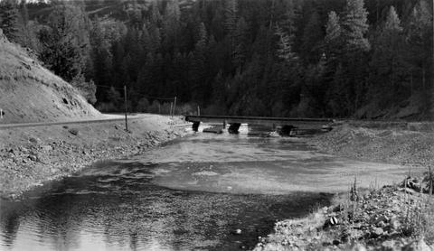
138. [Image] Diversion Dam below Troutdale, Oregon
-
139. [Image] Cline Falls
 Cline Falls on the Deschutes River. Falls are almost dry during irrigation season.
Citation -
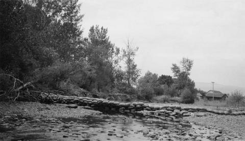
140. [Image] Sandy River
 Big Sandy Channel dam in far background
Citation -
142. [Image] Bull Run diversion
 Portland water department Bull Run diversion
Citation -
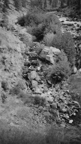
143. [Image] Bull Run River
 Bull Run River below Portland Water Department dam
Citation -
144. [Image] Bull Run diversion
 Portland water department Bull Run diversion
Citation -
145. [Image] Grande Ronde River
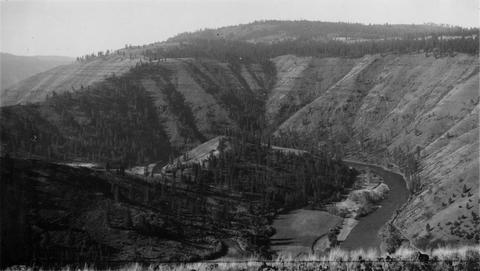 Photo of Grande Ronde River looking upstream from road just above Troy, Oregon
Citation -
146. [Image] Bonneville Dam
-
147. [Image] Benham Falls looking downstream
-
148. [Image] Pacific, Power and Lights dam in Bend, Oregon
-
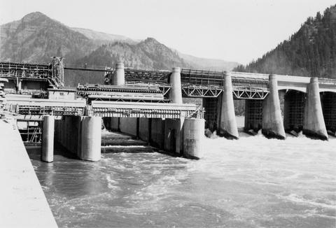
149. [Image] Bonneville Dam
 Bonneville Dam
Citation -
150. [Image] Bonneville Dam on the Columbia River
 Dam under construction
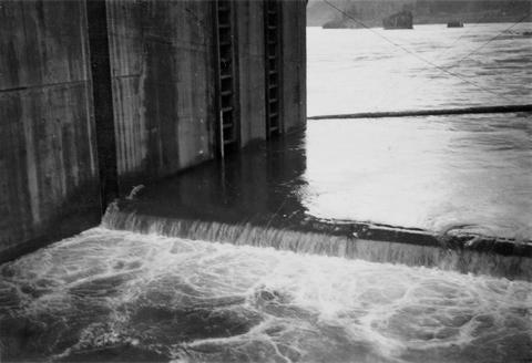
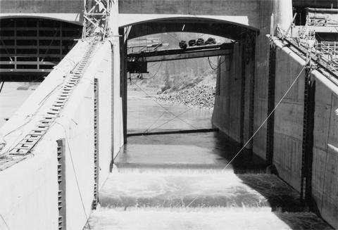
Citation -
151. [Image] Temporary fish ladder
 Temporary fish ladder at the Bonneville Dam on the Washington side. Dam was under construction
Citation -
152. [Image] Temporary fish ladder
 Temporary fish ladder on the Oregon side of the Bonneville Dam. There is a salmon in air at left side of jump
Citation -
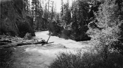
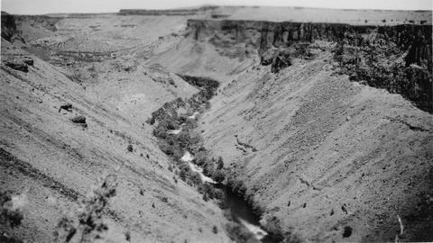
153. [Image] Sherar's Falls
 Sherars Falls on the Deschutes River, Oregon
Citation -
154. [Image] Fishway and diversion dam
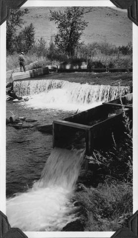 Fishway and diversion dam for the City of Union, Oregon, domestic water supply found on Catherine Creek
Citation -
155. [Image] Metolius River
 One of 2 springs forming the source of the Metolius River at the base of Black Butte
Citation -
156. [Image] Temporary fish ladder
 Temporary fish ladder at the Bonneville Dam
Citation -
158. [Image] Looking upstream from Cline Falls
-
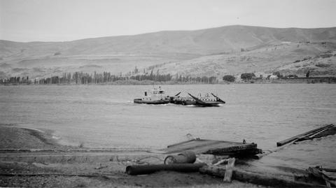
159. [Image] Maryhill Ferry on the Columbia River
-
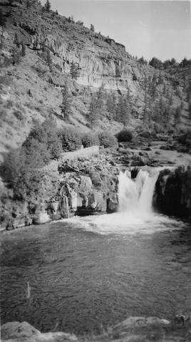
160. [Image] Steelhead Falls on the Deschutes River
-
This study was undertaken to evaluate the occurrence and characteristics of undercut streambanks in forested headwater streams of the Oregon Coast Range. Undercut streambanks and associated reach characteristics ...
Citation -
162. [Article] A resource survey of river energy and low-head hydroelectric power potential in Oregon
The project was funded by the United States Department of Energy. Contract No. EG-77-S-07-1691 through the Idaho Water Resources Research Institute.Citation