Search
You searched for:
Start Over
Historic stream surveys
Remove constraint Historic stream surveys
Subject
Rivers -- Oregon
Remove constraint Subject: Rivers -- Oregon
Material Types
Image
Remove constraint Material Types: Image
« Previous | 61 - 70 of 160 | Next »
Search Results
-
61. [Image] Tide Creek gate
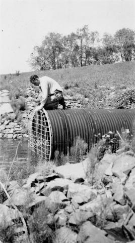 Large fish unable to get through the gate on Tide Creek
Citation -
 At this season takes all available water remaining in stream (except for seepage)
Citation -
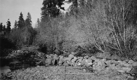
63. [Image] North Fork Burnt River
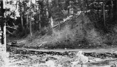 Rock diversion dam is completely across stream diveting entire flow, except for seepage into irrigation ditch. It is a barrier at low water. Diversion dam is located at entrance to Whitman National For...
Citation -
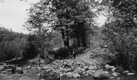
64. [Image] Buck Hollow Creek
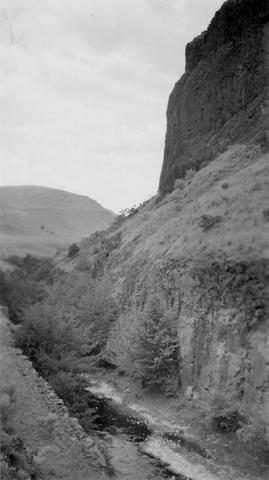 Buck Hollow Creek, tributary to Deschutes River. View upstream from bridge at mouth
Citation -
65. [Image] Will R Lewis's fish pond
 Will R Lewis's fish pond located on outlet stream from Bull Run Reservoir on Sandy River System
Citation -
66. [Image] Mouth of Gordon Creek
 Rearing pond site at mouth of Gordon Creek, tributary to Sandy River. Shows height of pond site above stream level
Citation -
67. [Image] Will R Lewis's fish pond
 Will R Lewis's fish pond located on outlet stream from Bull Run Reservoir on the Sandy River System
Citation -
68. [Image] Sports fishery
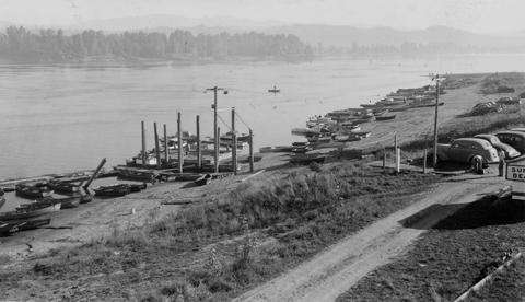 Sports fishery along left shore (Oregon side) of Columbia River below mouth of Sandy River
Citation -
69. [Image] White River falls
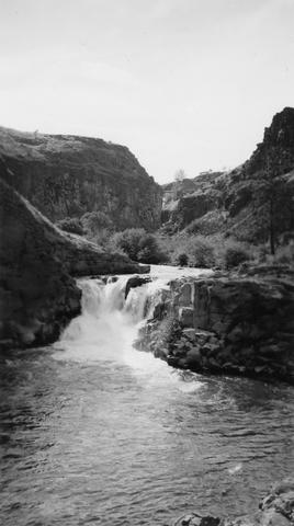 18 foot falls on the White River, tributary to the Deschutes River, several hundred yards below power plant. Upper falls can be seen faintly in background
Citation -
70. [Image] Diversion dam near Prineville, Oregon
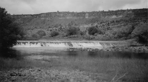 Crooked River diversion dam
Citation