Search
You searched for:
Start Over
Historic stream surveys
Remove constraint Historic stream surveys
Subject
Rivers -- Idaho
Remove constraint Subject: Rivers -- Idaho
« Previous | 1 - 10 of 121 | Next »
Search Results
-
1. [Image] Idaho Power diversion dam
 Idaho Power Company's diversion dam (power) on Lemhi River at Salmon, Idaho
Citation -
2. [Image] Warm Springs Creek
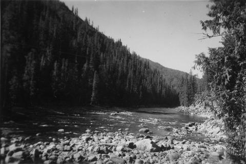
 Warm Springs Creek tributary to Loon Creek, Idaho. Box canyon shown a short distance above Mahoney Creek confluence
Citation -
3. [Image] Yankee Fork Dredge
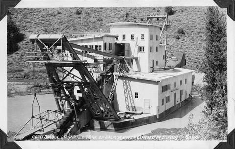 Gold dredge on Yankee Fork of Salmon River It was the largest dredge in Idaho Dredge was reputed to be recovering $10,000 in flour gold each week
Citation -
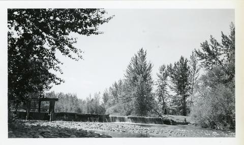
4. [Image] Catherine Creek diversion dam
 A wire-covered rock irrigation diversion dam on Catherine Creek. Diversion dam is 2100 yards above Little Catherine Creek confluence
Citation -
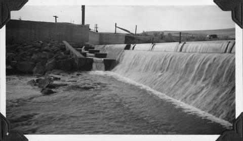
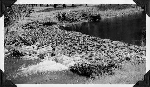
5. [Image] Mann Creek temporary diversion dam
 Temporary diversion dam on Mann Creek 1500 yards below US 95 bridge. This dam takes all the water which seeps through another dam 150 yards upstream. The low water is a barrier for fish
Citation -
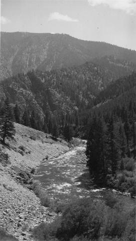
6. [Image] North Fork Clearwater River in Idaho
-
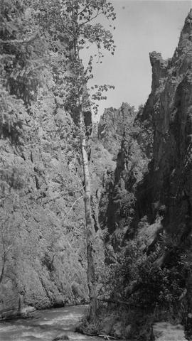
7. [Image] Marble Creek
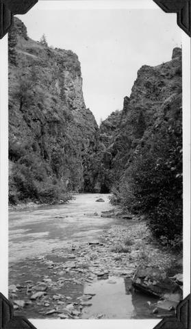 Looking upstream into the Marble Creek box canyon about 5 miles above the mouth
Citation -
8. [Image] Deer Horn Creek area
 Looking downstream in Middle Fork Salmon River Valley below Deer Horn Creek. Greyhound Creek enters in background on right
Citation -
9. [Image] Cascade falls above Sulphur Creek
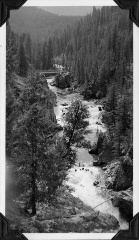 Series of cascade-falls in Middle Fork Salmon River above Sulfur [Sulphur] Creek. Passable for fish at low water and passable with difficulty at high water according to the natives
Citation -
10. [Image] Galloway Dam and fish ladder