Search
You searched for:
Start Over
Historic stream surveys
Remove constraint Historic stream surveys
Subject
Rivers -- Idaho
Remove constraint Subject: Rivers -- Idaho
« Previous | 1 - 100 of 121 | Next »
Search Results
-
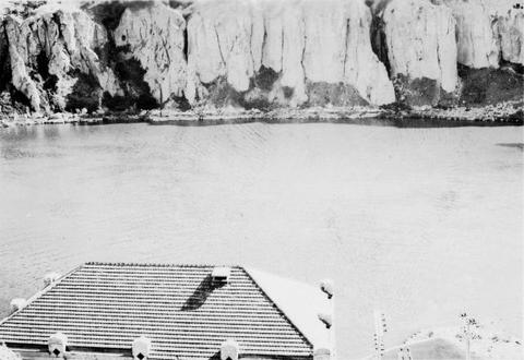
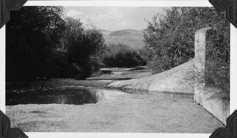
1. [Image] Sunbean Dam
 Upstream side of the Sunbeam Dam. Yankee Fork enters on left from beneath bridge
Citation -
2. [Image] Yankee Fork Dredge
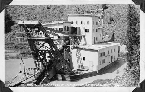 Gold dredge on Yankee Fork of Salmon River It was the largest dredge in Idaho Dredge was reputed to be recovering $10,000 in flour gold each week
Citation -
3. [Image] Yankee Fork Dredge
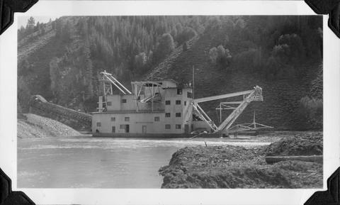 Gold dredge on Yankee Fork of Salmon River It was the largest dredge in Idaho Dredge was reputed to be recovering $10,000 in flour gold each week
Citation -
4. [Image] Yankee Fork Dredge
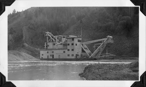 Gold dredge on Yankee Fork of Salmon River It was the largest dredge in Idaho Dredge was reputed to be recovering $10,000 in flour gold each week
Citation -
5. [Image] Yankee Fork Dredge
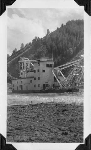 Gold dredge on Yankee Fork of Salmon River It was the largest dredge in Idaho Dredge was reputed to be recovering $10,000 in flour gold each week
Citation -
6. [Image] Yankee Fork Dredge
 Gold dredge on Yankee Fork of Salmon River It was the largest dredge in Idaho Dredge was reputed to be recovering $10,000 in flour gold each week
Citation -
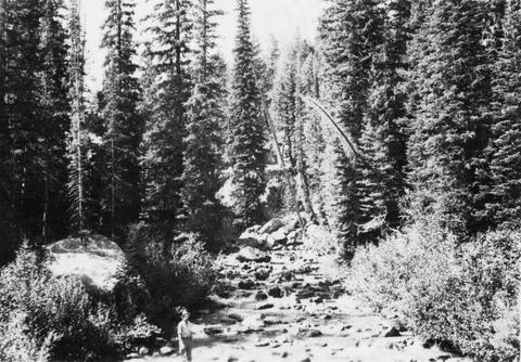
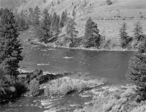
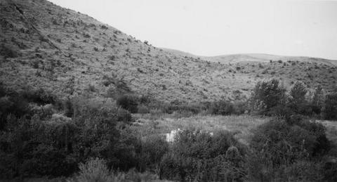
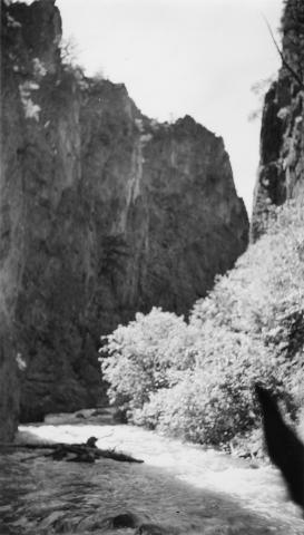
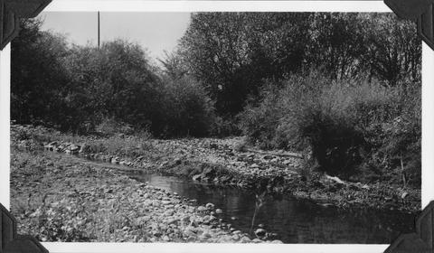
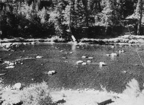
7. [Image] Big Redfish Lake Stream, Idaho
-
8. [Image] Big Redfish Lake Stream, Idaho
-
10. [Image] Little Red fish on spawning grounds
 Little Red fish on spawning grounds in Alturus Lake Creek
Citation -
11. [Image] Little Red fish on spawning grounds
 Little Red fish on spawning grounds in Alturus Lake Creek
Citation -
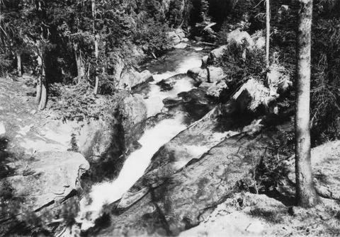
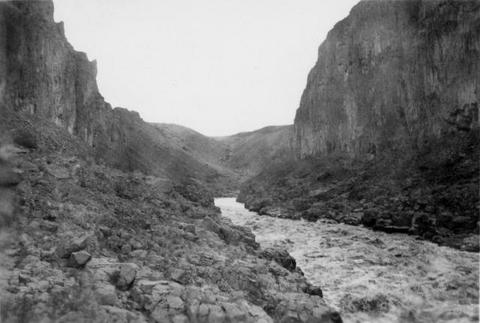
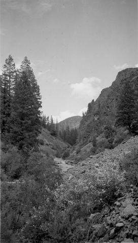
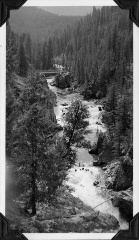
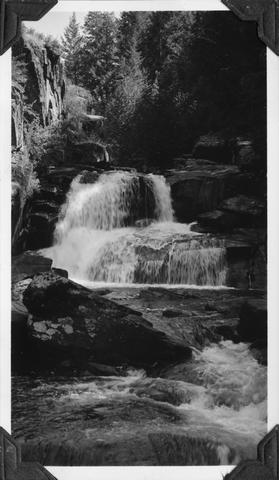
12. [Image] Falls on upper Redfish Lake Creek, Idaho
-
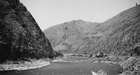
14. [Image] River of No Return
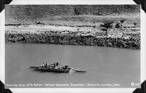 National Geographic Expedition down the "River of No Return" from Salmon to Lewiston, Idaho
Citation -
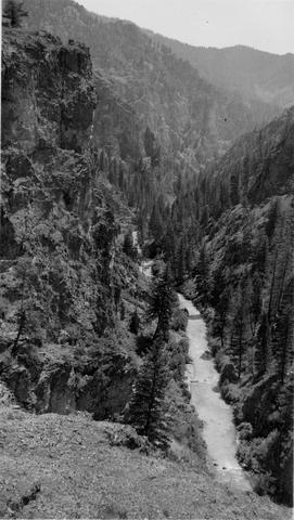
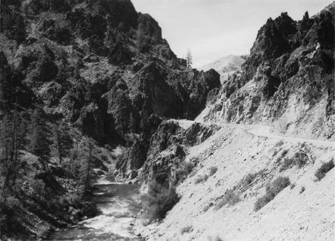
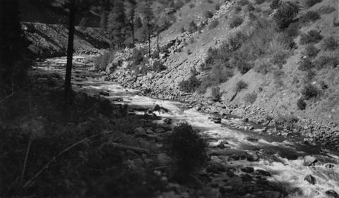
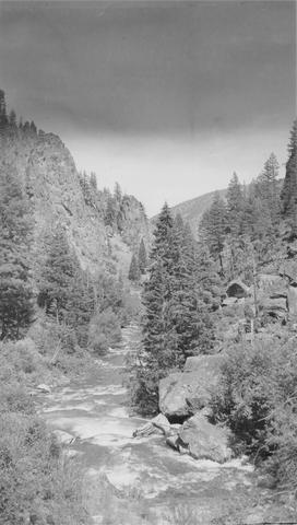 East Fork of Mayfield Creek tributary to Loon Creek which is a tributary to the Middle Fork of the Salmon River. Photo is looking downstream over a cascade section in the stream
Citation -
16. [Image] Alluvial fan
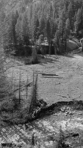 Alluvial fan is formed by washout in Thirty-two Creek.. River spreads out in many small channels over the surface.. Stream is inaccessible to salmon.
Citation -
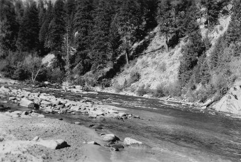
17. [Image] North Fork Clearwater River in Idaho
-
18. [Image] Snake River below Shoshone Falls
-
19. [Image] Deadwood River at mouth
-
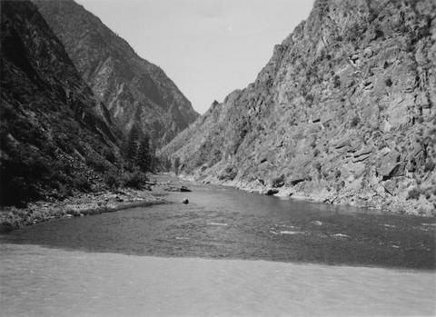
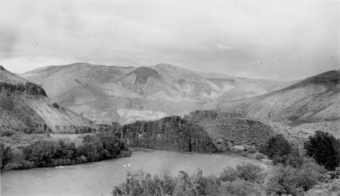
21. [Image] Salmon River
 Salmon River, tributary to Big Sandy River near the confluence
Citation -
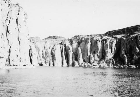
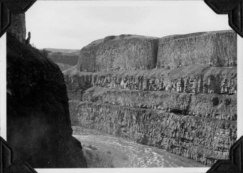
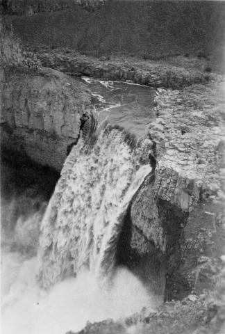
22. [Image] Palouse Falls
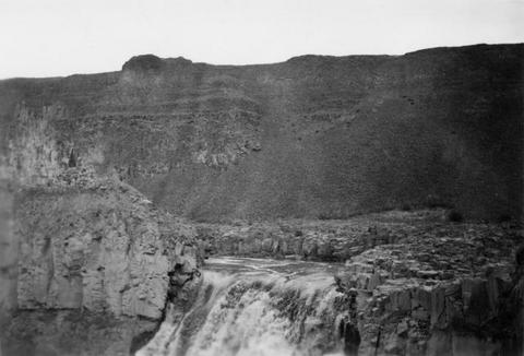 Palouse Falls on the Palouse River. The falls are 164 feet high
Citation -
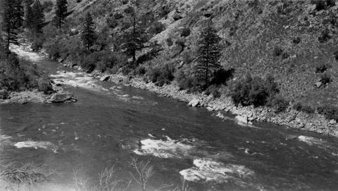
23. [Image] Snake River
 Snake River, Idaho below Swan Falls Power House
Citation -
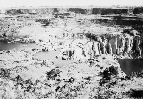
24. [Image] Shoshone Falls on the Snake River in Idaho
-
25. [Image] Shoshone Falls and power diversion
-
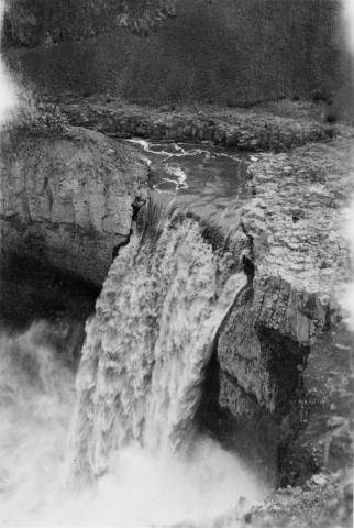
26. [Image] Palouse Falls
 Palouse Falls on the Palouse River. The falls are 164 feet high
Citation -
27. [Image] Palouse Falls
 Palouse Falls on the Palouse River. The falls are 164 feet high
Citation -
28. [Image] Palouse Falls
 Palouse Falls on the Palouse River. The falls are 164 feet high
Citation -
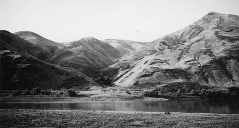
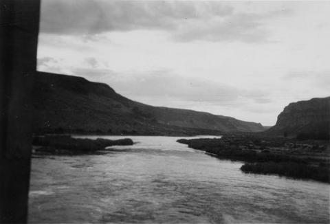
29. [Image] Snake River valley near Lewiston, Idaho
-
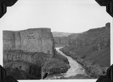
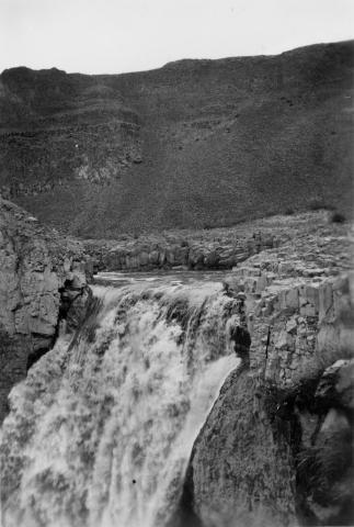
30. [Image] Palouse River rapids 1/2 mile above falls
-
31. [Image] Palouse River above falls
-
32. [Image] Site of new irrigation dam on Mann Creek
-
33. [Image] Site of new irrigation dam on Mann Creek
-
34. [Image] Site of new irrigation dam on Mann Creek
-
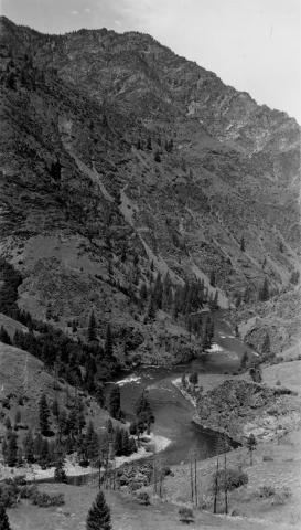
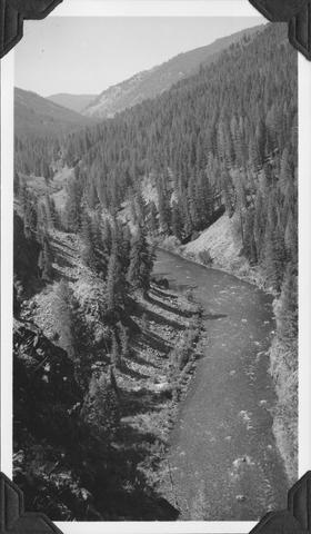
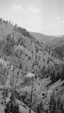
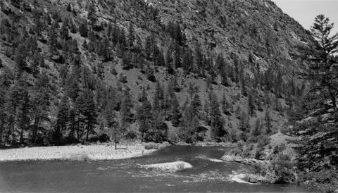
35. [Image] Middle Fork Salmon River
-
36. [Image] Palouse River canyon below falls
-
37. [Image] Palouse River canyon just above falls
-
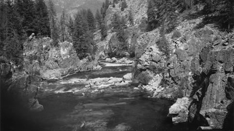
38. [Image] East Fork Salmon River
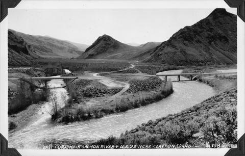 Photo taken near US 93 close to Clayton, Idaho
Citation -
39. [Image] Warm Springs Creek
 Warm Springs Creek tributary to Loon Creek, Idaho. Box canyon shown a short distance above Mahoney Creek confluence
Citation -
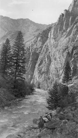
40. [Image] Marble Creek
 Looking upstream into the Marble Creek box canyon about 5 miles above the mouth
Citation -
41. [Image] Deer Horn Creek area
 Looking downstream in Middle Fork Salmon River Valley below Deer Horn Creek. Greyhound Creek enters in background on right
Citation -
42. [Image] Marble Creek box canyon
 Typical watershed topography below the box canyon near Marble Creek, Idaho
Citation -
43. [Image] Pistol Creek
 Water ouzel and nest near campsite 2 1/4 miles from the mouth of Pistol Cr
Citation -
44. [Image] Beaver dam and house
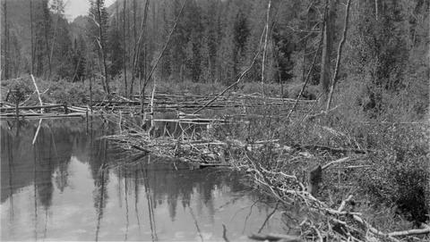 Large beaver dam and house about 1 1/2 miles above the Loon Creek Ranger Station
Citation -
45. [Image] View from top of Marble Creek box canyon
-
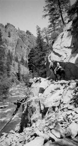
46. [Image] Rams Horn Creek, Idaho
 Place just above Ramshorn [Rams Horn] Creek where Blue was pulled off the trail by Spot and rolled 30-40 feet to the big pool below
Citation -
47. [Image] Middle Fork and Main Salmon River confluence
 Confluence of Middle Fork and Main Salmon River. Turbidity of main stream is shown
Citation -
48. [Image] Waterfall Creek
 Waterfall Creek near confluence with Middle Fork Salmon River. Waterfall Creek enters Middle Fork Salmon River just above Big Creek on left bank. The creek is too precipitous for migratory fish
Citation -
49. [Image] Irrigation diversion dam on Big Creek
 Impassable irrigation dam
Citation -
50. [Image] Irrigation diversion on Big Creek
 Irrigation diversion on Big Creek, a tributary to North Fork Payette River
Citation -
51. [Image] Warm Springs Creek
 Warm Springs Creek tributary to Loon Creek, Idaho. Box canyon shown a short distance above Mahoney Creek confluence
Citation -
52. [Image] View above Elkhorn Creek
 View downstream from big cliff above Elkhorn Creek. The riffle looks good but the rubble averages are too large for good spawning area
Citation -
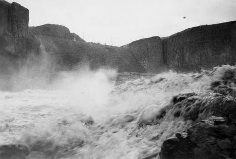
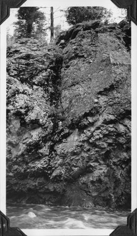
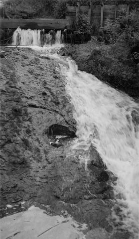
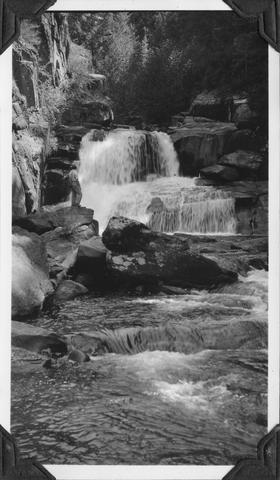
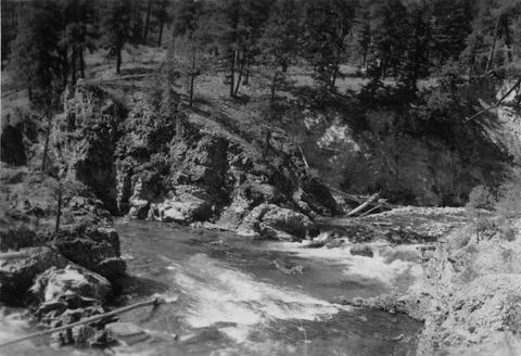
53. [Image] Sulphur Creek Falls
 Downstream view from horse bridge at head end of falls
Citation -
54. [Image] Sulphur Creek bedrock chute
 12 ft impassable bedrock chute short distance above highway bridge This is topped by a 6 ft dam
Citation -
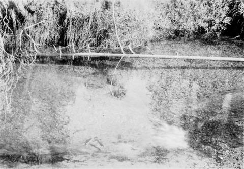
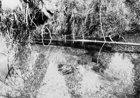
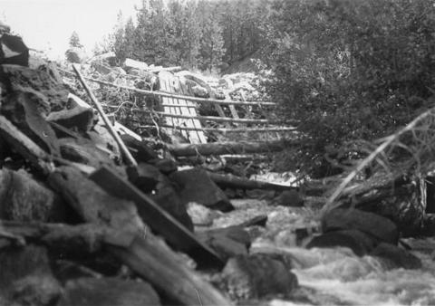
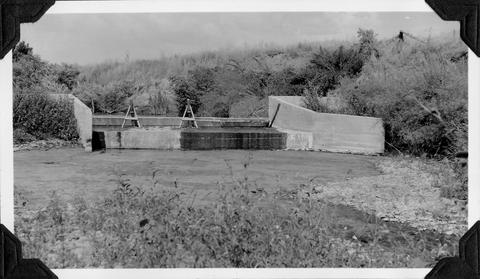
55. [Image] Galloway Ditch siphon
 Siphon for Galloway Ditch [Canal] flowing "under" Mann Creek. At high water when the irrigation dam below is out this siphon with its concrete apron forms a considerable barrier for steelheads and sal...
Citation -
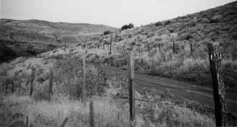
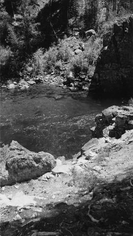
56. [Image] Indian Creek camp site
 Camp site on Indian Creek, Idaho. Good fishing but hard to get in and out
Citation -
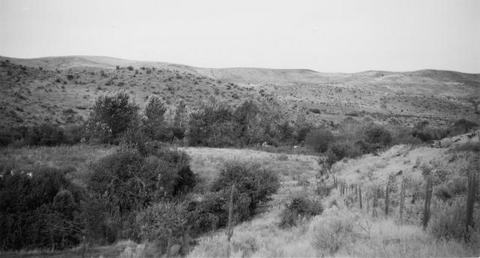
57. [Image] Valley below Cabin Creek
 Portion of river valley below Cabin Creek that shows broad benches which sometimes occur on slip-off slopes
Citation -
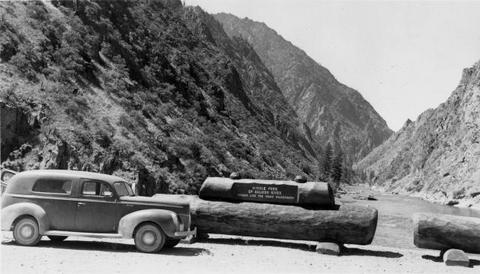
58. [Image] Pack string on the trail
 Hendrick is the packer in the photo
Citation -
59. [Image] River of No Return
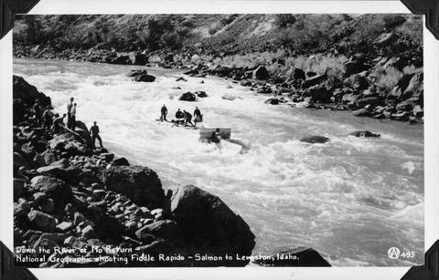 Down the River of No Return showing the National Geographic expedition shooting Fiddle Rapids on the Salmon River
Citation -
60. [Image] Idaho Power diversion dam
 Idaho Power Company's diversion dam (power) on Lemhi River at Salmon, Idaho
Citation -
61. [Image] Catherine Creek diversion dam
 A wire-covered rock irrigation diversion dam on Catherine Creek. Diversion dam is 2100 yards above Little Catherine Creek confluence
Citation -
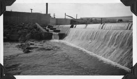
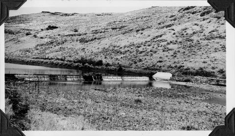
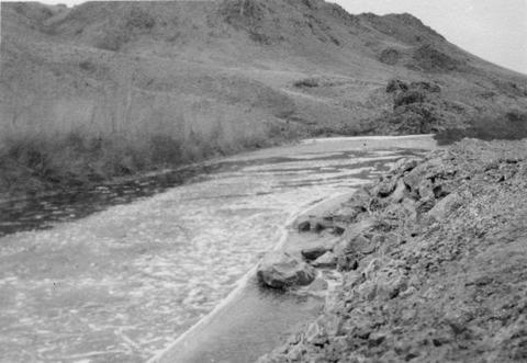
62. [Image] Mann Creek temporary diversion dam
 Temporary diversion dam on Mann Creek 1500 yards below US 95 bridge. This dam takes all the water which seeps through another dam 150 yards upstream. The low water is a barrier for fish
Citation -
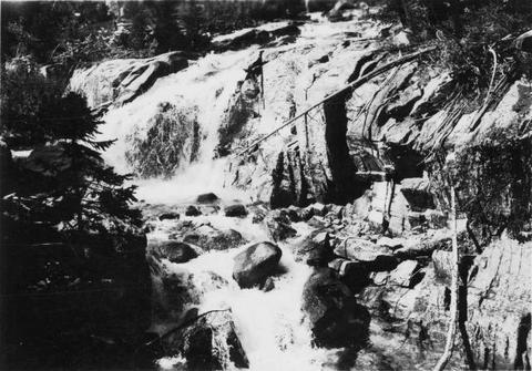
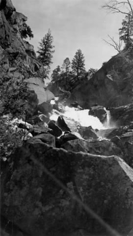
63. [Image] Cascade falls above Sulphur Creek
 Series of cascade-falls in Middle Fork Salmon River above Sulfur [Sulphur] Creek. Passable for fish at low water and passable with difficulty at high water according to the natives
Citation -
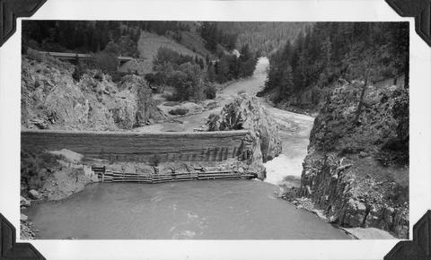
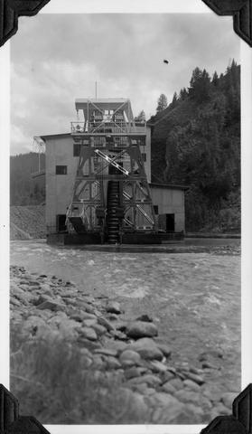
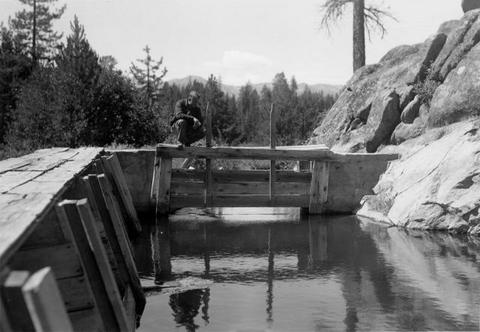
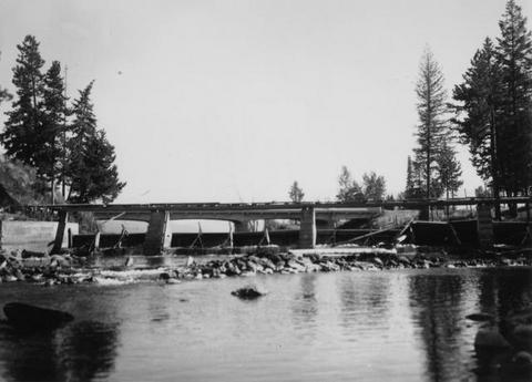
64. [Image] Galloway Dam and fish ladder
-
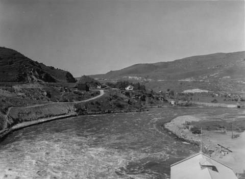
65. [Image] Black Canyon Dam
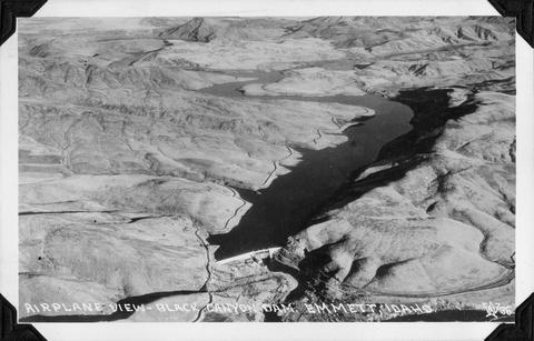 Airplane view of Black Canyon Dam, near Emmett, Idaho
Citation -
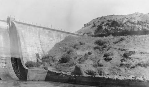
66. [Image] Grimes Pass Dam
 Grimes Pass Dam on the South Fork Payette River, Idaho
Citation -
67. [Image] Middle Fork Weiser River falls
 Impassable falls about 25 ft high on the Middle Fork of the Weiser River in Idaho
Citation -
68. [Image] Middle Fork Weiser River falls
 Impassable falls about 25 ft high on the Middle Fork of the Weiser River in Idaho
Citation -
69. [Image] Galloway dam across Weiser River
 Galloway dam across Weiser River above town of Weiser, Idaho. In a normal summer there is no water in the river channel below here
Citation -
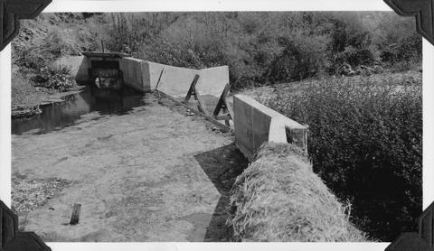
70. [Image] Mann Creek dam and diversion
 Dam and diversion on Mann Creek just above the Harold Beecher dam. About 1 cubic foot per second is escaping under flash boards. Pool above dam is heavily covered with algae. It is a low water barrier ...
Citation -
71. [Image] Mann Creek dam and diversion
 Dam and diversion on Mann Creek just above the Harold Beecher dam. About 1 cubic foot per second is escaping under flash boards. Pool above dam is heavily covered with algae. It is a low water barrier ...
Citation -
72. [Image] Mann Creek temporary diversion dam
 Temporary diversion dam on Mann Creek 1300 yards below US 95 bridge. The dam takes all water, approximately 1 cubic foot per second, which seeps through dam Another dam, 150 yards below, diverts the ...
Citation -
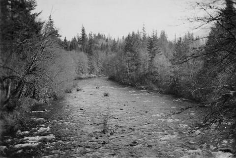
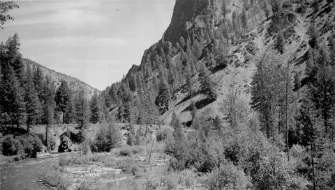
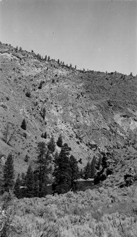
73. [Image] North Fork Clearwater River
 North Fork Clearwater below Canyon Ranger Station
Citation -
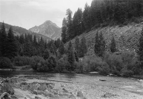
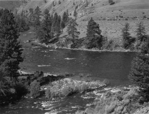
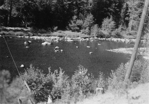
74. [Image] Spawning riffles and resting pools
 Spawning riffles and resting pools between Camas Creek and Big Creek, Idaho
Citation -
75. [Image] Warm Springs Creek confluence
 Confluence of Warm Springs Creek and South Fork Payette River, Idaho
Citation -
76. [Image] North Fork Payette River
 Good spawning riffle 5 miles below Payette Lake
Citation -
78. [Image] South Fork Payette River near Grand Jean
-
79. [Image] South Fork Payette River below Grimes Pass
-
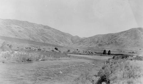
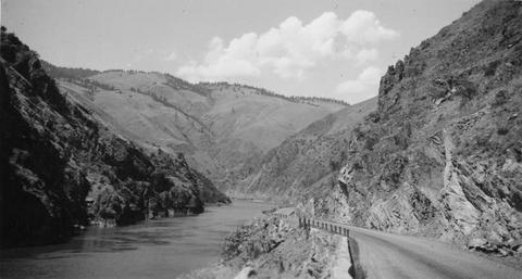
80. [Image] Salmon River valley
 Salmon River valley along US 95 below Riggins Idaho
Citation -
81. [Image] Salmon River valley
 Salmon River valley along US 95 below Riggins Idaho
Citation -
82. [Image] Payette R near Emmett, Idaho
-
84. [Image] Black Canyon Dam and flume
-
85. [Image] View of river between Camas and Big Creek
 On pack trip going down Middle Fork of the Salmon River below Camas Creek confluence
Citation -
86. [Image] Black Canyon Dam and flume
-
87. [Image] Dam at outlet of Payette Lake
 Dam at outlet of Payette Lake on the North Fork Payette River
Citation -
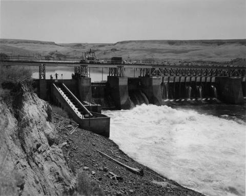
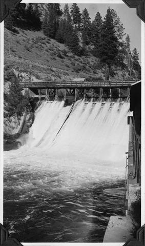
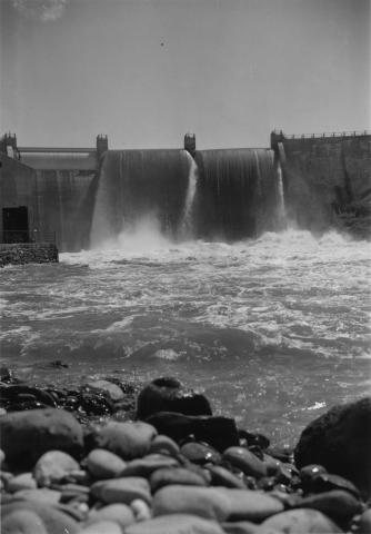
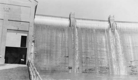
88. [Image] Black Canyon dam
 Black Canyon dam on the Payette River
Citation -
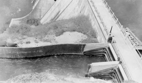
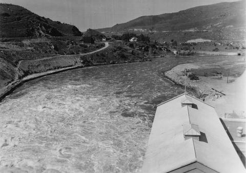
89. [Image] Black Canyon Dam spillway
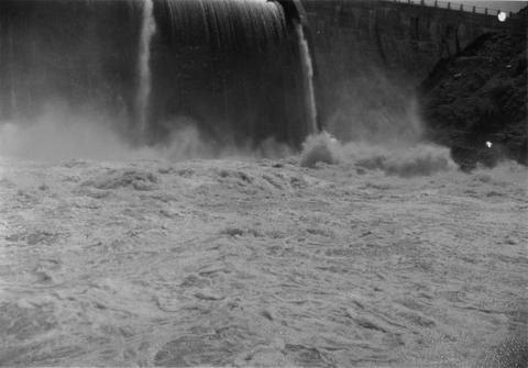 Water at foot of spill
Citation -
90. [Image] North Fork Payette near Big Eddy, Idaho
-
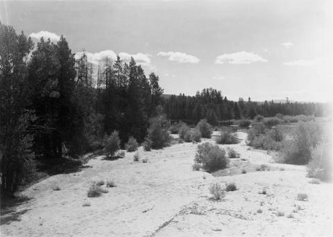
91. [Image] North Fork Payette River near Arling, Idaho
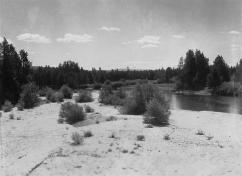 Sandy area of the Payette River
Citation -
92. [Image] North Fork Payette River near Arling, Idaho
 Sandy area of the Payette River
Citation -
93. [Image] North Fork Payette River near McCall, Idaho
 Good spawning riffle 5 miles below Payette Lake
Citation -
94. [Image] Dead Man's Hole
 "Dead Man's Hole" in Salmon River below town of Challis, Idaho
Citation -
95. [Image] Salmon River
 Salmon River near Salmon, Idaho
Citation -
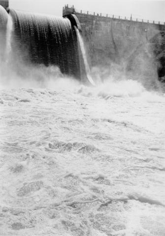
96. [Image] Black Canyon dam
 Payette River below Black Canyon Dam
Citation -
97. [Image] Black Canyon dam
 Black Canyon dam on the Payette River
Citation -
98. [Image] Black Canyon dam
 Black Canyon dam on the Payette River
Citation -
99. [Image] Black Canyon dam
 Black Canyon dam on the Payette River
Citation