Search
You searched for:
Start Over
Historic stream surveys
Remove constraint Historic stream surveys
Subject
Rivers -- Idaho
Remove constraint Subject: Rivers -- Idaho
« Previous | 71 - 80 of 121 | Next »
Search Results
-
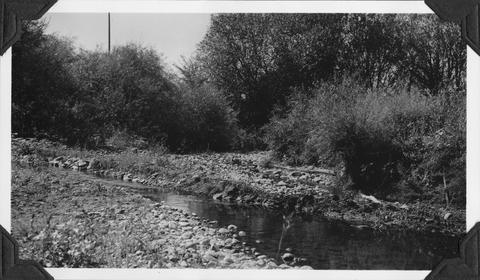
71. [Image] Mann Creek dam and diversion
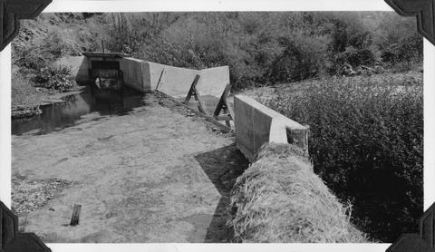 Dam and diversion on Mann Creek just above the Harold Beecher dam. About 1 cubic foot per second is escaping under flash boards. Pool above dam is heavily covered with algae. It is a low water barrier ...
Citation -
72. [Image] Mann Creek temporary diversion dam
 Temporary diversion dam on Mann Creek 1300 yards below US 95 bridge. The dam takes all water, approximately 1 cubic foot per second, which seeps through dam Another dam, 150 yards below, diverts the ...
Citation -
73. [Image] North Fork Clearwater River
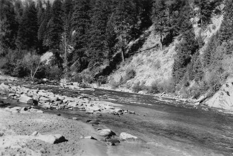 North Fork Clearwater below Canyon Ranger Station
Citation -
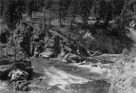
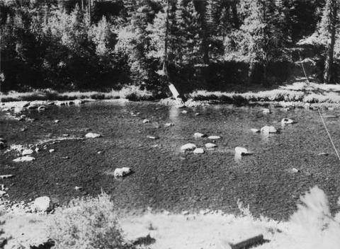
74. [Image] Spawning riffles and resting pools
 Spawning riffles and resting pools between Camas Creek and Big Creek, Idaho
Citation -
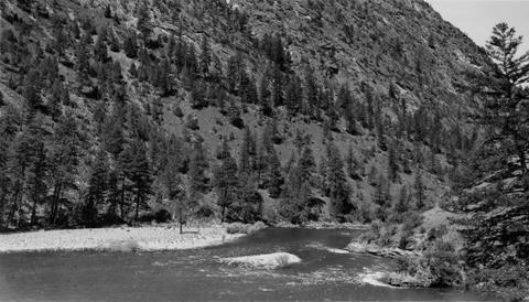
75. [Image] Warm Springs Creek confluence
 Confluence of Warm Springs Creek and South Fork Payette River, Idaho
Citation -
76. [Image] North Fork Payette River
 Good spawning riffle 5 miles below Payette Lake
Citation -
78. [Image] South Fork Payette River near Grand Jean
-
79. [Image] South Fork Payette River below Grimes Pass
-
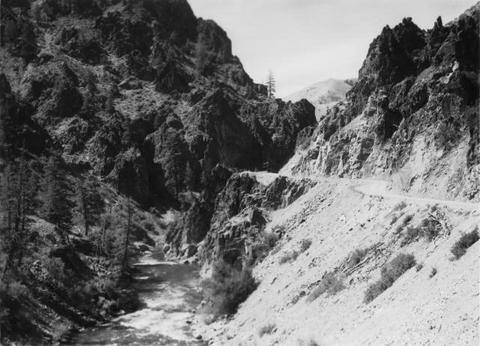
80. [Image] Salmon River valley
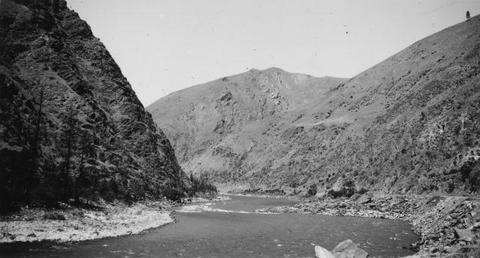 Salmon River valley along US 95 below Riggins Idaho
Citation