Search
You searched for:
Start Over
Historic stream surveys
Remove constraint Historic stream surveys
Subject
Rivers -- Idaho
Remove constraint Subject: Rivers -- Idaho
« Previous | 81 - 100 of 121 | Next »
Search Results
-
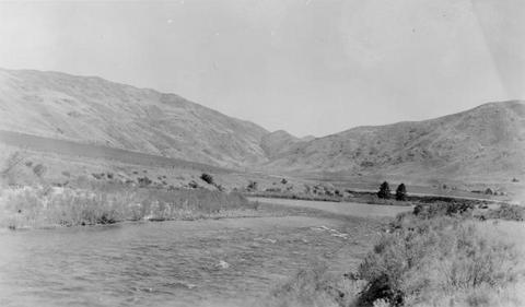
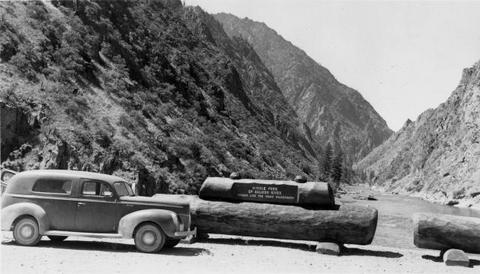
81. [Image] Salmon River valley
 Salmon River valley along US 95 below Riggins Idaho
Citation -
82. [Image] Payette R near Emmett, Idaho
-
84. [Image] Black Canyon Dam and flume
-
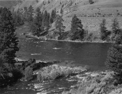
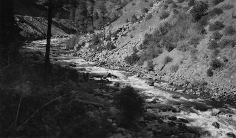
85. [Image] View of river between Camas and Big Creek
 On pack trip going down Middle Fork of the Salmon River below Camas Creek confluence
Citation -
86. [Image] Black Canyon Dam and flume
-
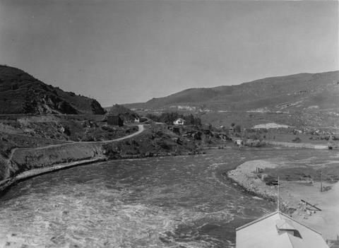
87. [Image] Dam at outlet of Payette Lake
 Dam at outlet of Payette Lake on the North Fork Payette River
Citation -
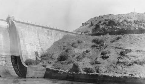
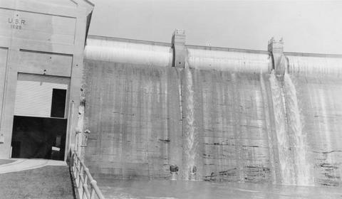
88. [Image] Black Canyon dam
 Black Canyon dam on the Payette River
Citation -
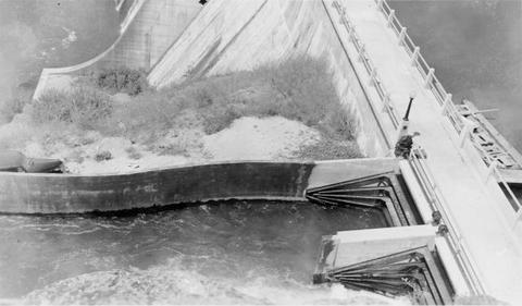
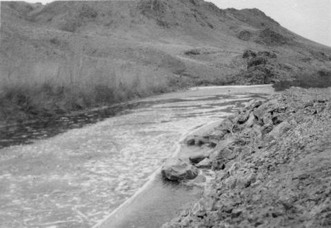
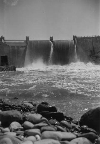
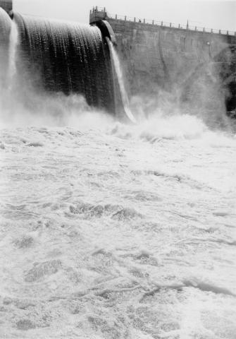
89. [Image] Black Canyon Dam spillway
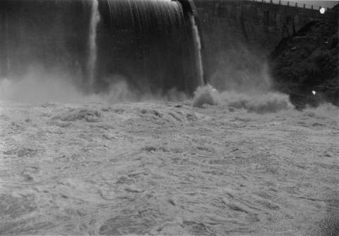 Water at foot of spill
Citation -
90. [Image] North Fork Payette near Big Eddy, Idaho
-
91. [Image] North Fork Payette River near Arling, Idaho
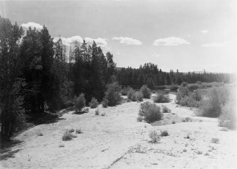
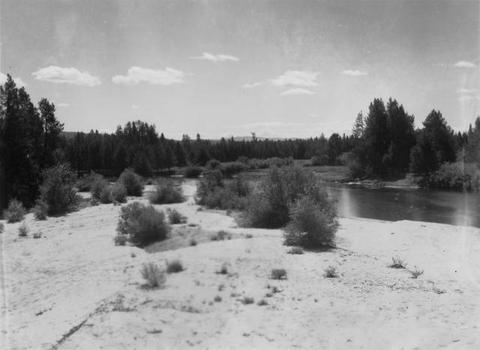 Sandy area of the Payette River
Citation -
92. [Image] North Fork Payette River near Arling, Idaho
 Sandy area of the Payette River
Citation -
93. [Image] North Fork Payette River near McCall, Idaho
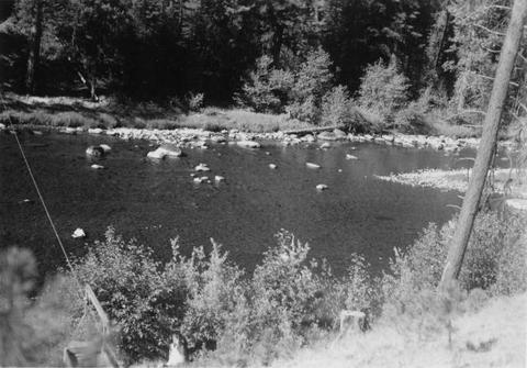 Good spawning riffle 5 miles below Payette Lake
Citation -
94. [Image] Dead Man's Hole
 "Dead Man's Hole" in Salmon River below town of Challis, Idaho
Citation -
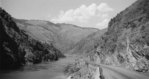
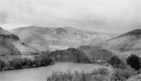
95. [Image] Salmon River
 Salmon River near Salmon, Idaho
Citation -
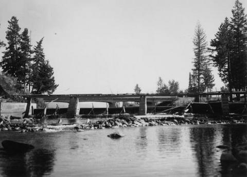
96. [Image] Black Canyon dam
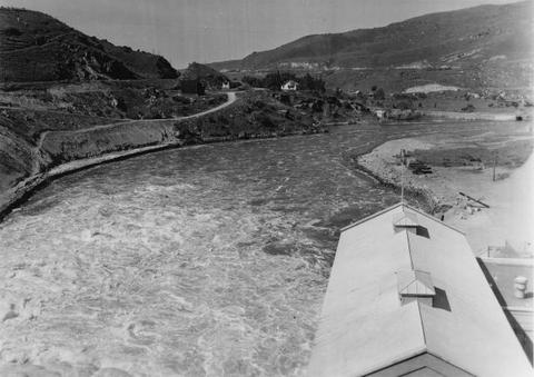 Payette River below Black Canyon Dam
Citation -
97. [Image] Black Canyon dam
 Black Canyon dam on the Payette River
Citation -
98. [Image] Black Canyon dam
 Black Canyon dam on the Payette River
Citation -
99. [Image] Black Canyon dam
 Black Canyon dam on the Payette River
Citation