Search
You searched for:
Start Over
Historic stream surveys
Remove constraint Historic stream surveys
Subject
Rivers -- Idaho
Remove constraint Subject: Rivers -- Idaho
« Previous | 21 - 40 of 121 | Next »
Search Results
-
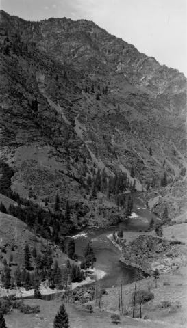
21. [Image] Salmon River
 Salmon River, tributary to Big Sandy River near the confluence
Citation -
22. [Image] Palouse Falls
 Palouse Falls on the Palouse River. The falls are 164 feet high
Citation -
23. [Image] Snake River
 Snake River, Idaho below Swan Falls Power House
Citation -
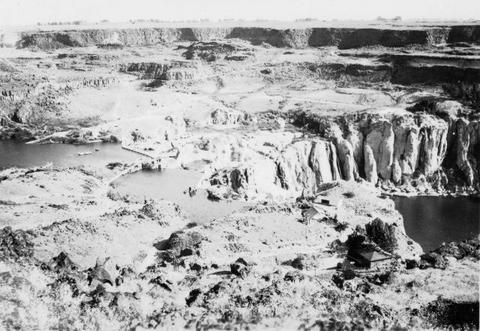
24. [Image] Shoshone Falls on the Snake River in Idaho
-
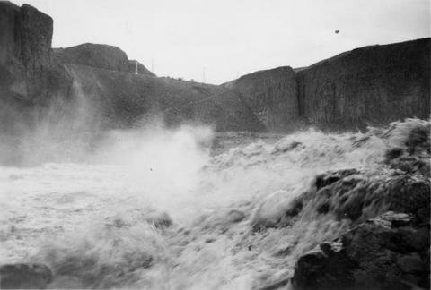
25. [Image] Shoshone Falls and power diversion
-
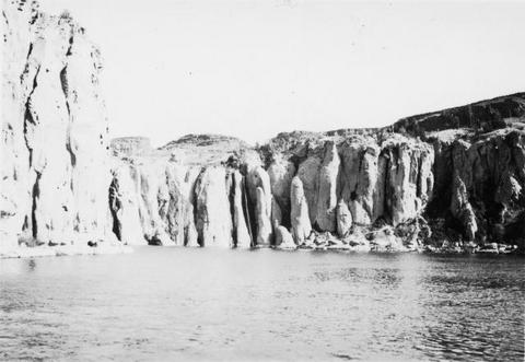
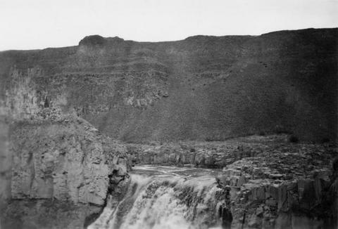
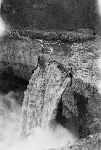
26. [Image] Palouse Falls
 Palouse Falls on the Palouse River. The falls are 164 feet high
Citation -
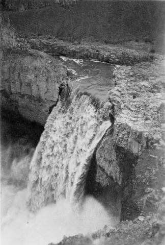
27. [Image] Palouse Falls
 Palouse Falls on the Palouse River. The falls are 164 feet high
Citation -
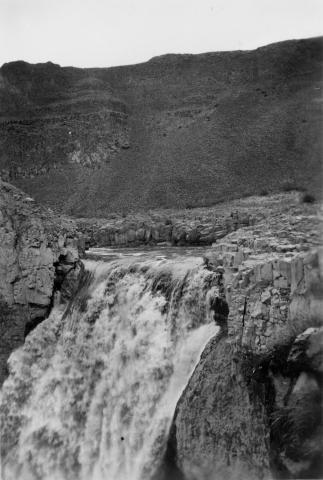
28. [Image] Palouse Falls
 Palouse Falls on the Palouse River. The falls are 164 feet high
Citation -
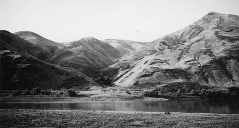
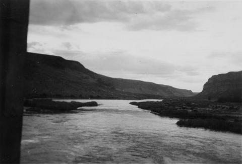
29. [Image] Snake River valley near Lewiston, Idaho
-
30. [Image] Palouse River rapids 1/2 mile above falls
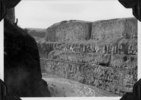
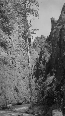
-
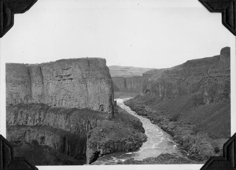
31. [Image] Palouse River above falls
-
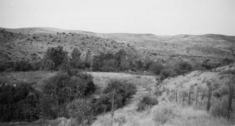
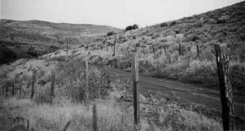
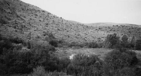
32. [Image] Site of new irrigation dam on Mann Creek
-
33. [Image] Site of new irrigation dam on Mann Creek
-
34. [Image] Site of new irrigation dam on Mann Creek
-
35. [Image] Middle Fork Salmon River
-
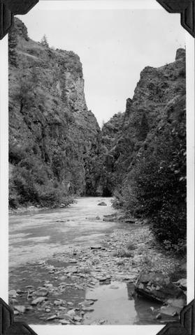
36. [Image] Palouse River canyon below falls
-
37. [Image] Palouse River canyon just above falls
-
38. [Image] East Fork Salmon River
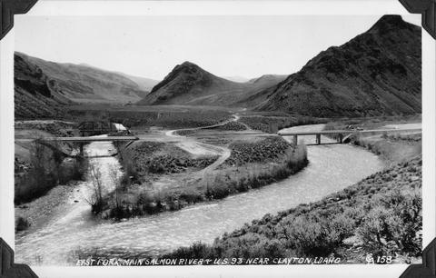 Photo taken near US 93 close to Clayton, Idaho
Citation -
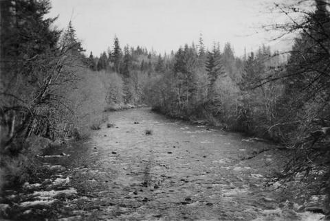
39. [Image] Warm Springs Creek
 Warm Springs Creek tributary to Loon Creek, Idaho. Box canyon shown a short distance above Mahoney Creek confluence
Citation -
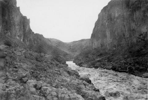
40. [Image] Marble Creek
 Looking upstream into the Marble Creek box canyon about 5 miles above the mouth
Citation