Search
You searched for:
Start Over
Historic stream surveys
Remove constraint Historic stream surveys
Subject
Rivers -- Idaho
Remove constraint Subject: Rivers -- Idaho
« Previous | 111 - 120 of 121 | Next »
Search Results
-
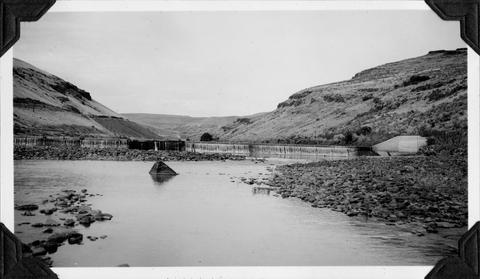
111. [Image] Mann Creek dam and diversion
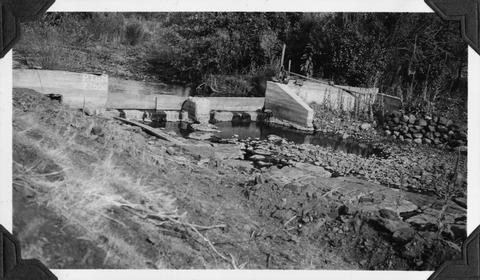 Dam and diversion on Mann Creek just below the site of the new dam
Citation -
112. [Image] Washout below Rapid River, Idaho
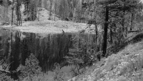 Lower end of pool formed by washout below Rapid River
Citation -
113. [Image] Crane Creek Reservoir
 The rock and earth dam of the reservoir is located just off the right edge of the picture. No spillway is provided. Lake is inaccessible to fish coming upstream.
Citation -
114. [Image] Mesa dam and ditch take-off
 Mesa dam and ditch take-off on Middle Fork Weiser River about 7 miles by road above US 95. Low water barrier to fish. In a normal summer the river is dry from here to the mouth
Citation -
115. [Image] Leading horse across the river
 Slim Hendrick on Smokey leading Blue back across the river after the latter horse had rolled down a 30' cliff
Citation -
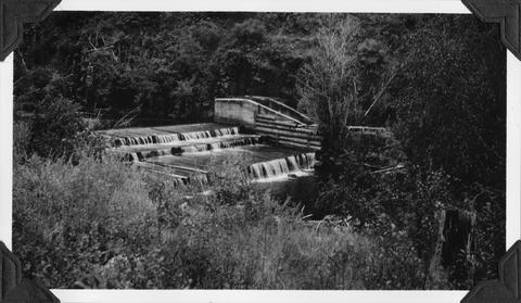
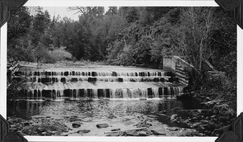
116. [Image] Weiser River galloway dam
 Galloway dam across Weiser River above town of Weiser, Idaho
Citation -
117. [Image] Mesa dam and ditch take-off
 Mesa dam and ditch take-off on Middle Fork Weiser River, Idaho located about 7 miles by road above US 95. It is a low water barrier to fish. In a normal summer the river is dry from here to the mouth
Citation -
118. [Image] Gold dredge
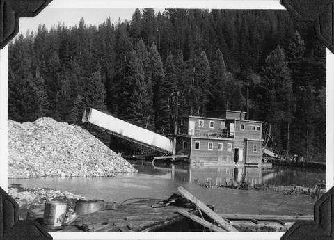 Gold dredge on South Fork of Clearwater River in Idaho
Citation -
119. [Image] Mann Creek dam and diversion
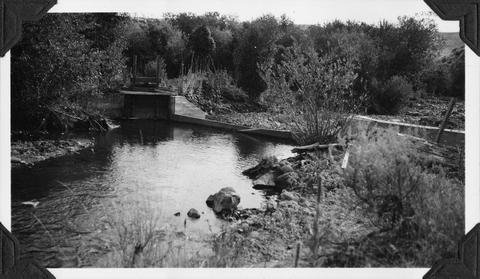 Irrigation dam and diversion just below the site for the new irrigation dam. Low water is a barrier to fish
Citation -
120. [Image] Black Canyon Dam
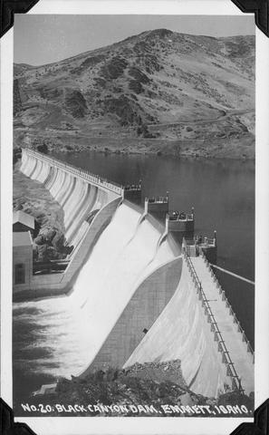 Black Canyon Dam near Emmett, Idaho
Citation