Search
You searched for:
Start Over
Historic stream surveys
Remove constraint Historic stream surveys
Subject
Rivers -- Idaho
Remove constraint Subject: Rivers -- Idaho
« Previous | 111 - 120 of 121 | Next »
Search Results
-
111. [Image] River of No Return
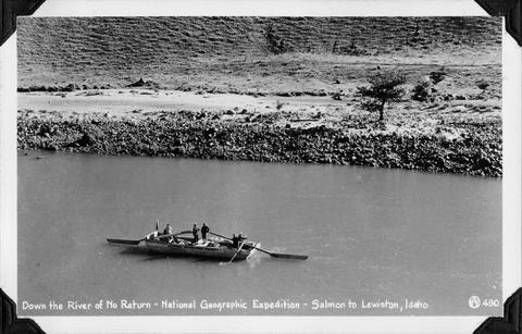 National Geographic Expedition down the "River of No Return" from Salmon to Lewiston, Idaho
Citation -
112. [Image] Valley below Cabin Creek
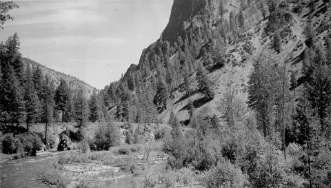 Portion of river valley below Cabin Creek that shows broad benches which sometimes occur on slip-off slopes
Citation -
113. [Image] Weiser River galloway dam
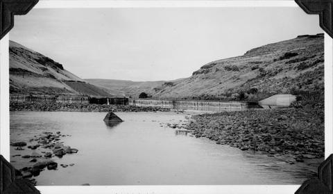 Galloway dam across Weiser River above town of Weiser, Idaho
Citation -
114. [Image] Mesa dam and ditch take-off
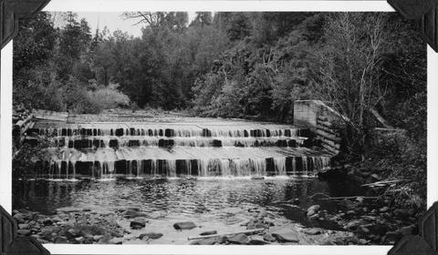 Mesa dam and ditch take-off on Middle Fork Weiser River, Idaho located about 7 miles by road above US 95. It is a low water barrier to fish. In a normal summer the river is dry from here to the mouth
Citation -
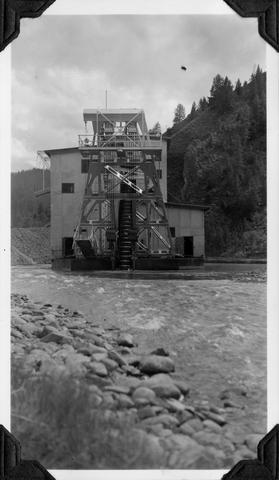
115. [Image] Gold dredge
 Gold dredge on South Fork of Clearwater River in Idaho
Citation -
116. [Image] Mann Creek dam and diversion
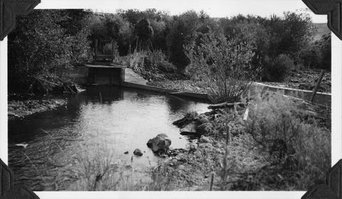 Irrigation dam and diversion just below the site for the new irrigation dam. Low water is a barrier to fish
Citation -
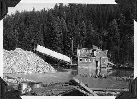
117. [Image] Yankee Fork Dredge
 Gold dredge on Yankee Fork of Salmon River It was the largest dredge in Idaho Dredge was reputed to be recovering $10,000 in flour gold each week
Citation -
118. [Image] Pack string on the trail
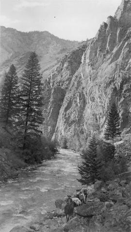 Hendrick is the packer in the photo
Citation -
119. [Image] East Fork Salmon River
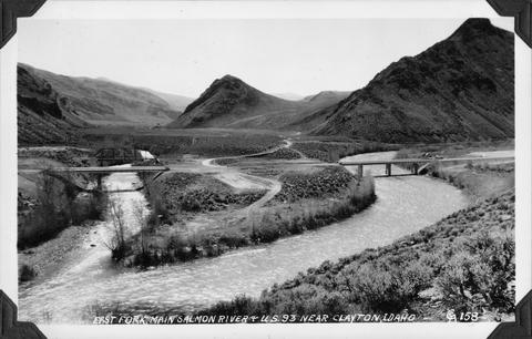 Photo taken near US 93 close to Clayton, Idaho
Citation -
120. [Image] Black Canyon Dam
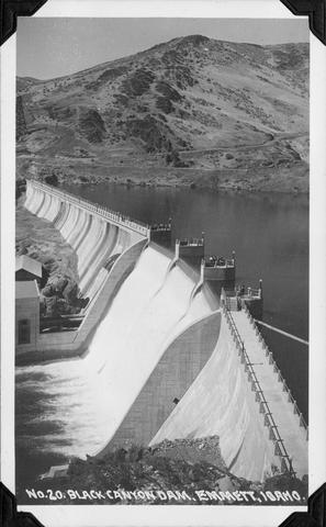 Black Canyon Dam near Emmett, Idaho
Citation