Search
You searched for:
Start Over
Historic stream surveys
Remove constraint Historic stream surveys
Subject
Rivers -- Idaho
Remove constraint Subject: Rivers -- Idaho
« Previous | 101 - 110 of 121 | Next »
Search Results
-
101. [Image] Downstream from confluence of Camas Creek, Idaho
 Looking downstream from confluence of Camas Creek to show good spawning area
Citation -
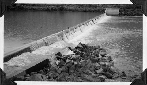
102. [Image] Dam on North Fork Payette River at McCall, Idaho
-
103. [Image] Confluence of Middle Fork and Main Salmon Rivers
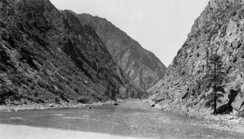 Salmon River shows turbidity.
Citation -
104. [Image] Confluence of Middle Fork and Main Salmon Rivers
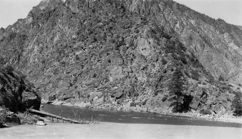 Confluence of Middle Fork and Main Salmon Rivers showing the turbidity of Main Salmon River resulting from gold mine pollution
Citation -
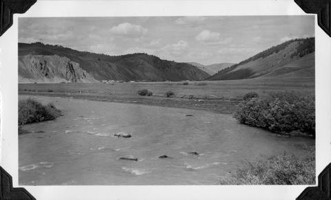
105. [Image] Salmon River Valley
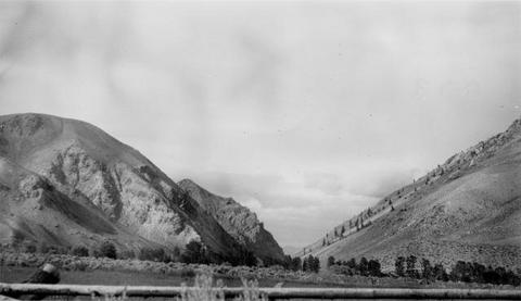 Valley of Salmon River along US 93 between Challis and Salmon, Idaho
Citation -
106. [Image] Valley Creek
 Confluence Valley Creek with Salmon River. Valley Creek is turbid with gold dredge silt. Lower Stanley, Idaho against hill in background
Citation -
107. [Image] Galloway Dam and fish ladder
-
108. [Image] Washout in small creek
 Washout in small creek a short distance below Rapid River. A big pool larger than 1/4 mile long was formed in this manner
Citation -
109. [Image] North Fork Payette River, Idaho
 North Fork Payette River just above confluence with South Fork Payette River
Citation -
110. [Image] Black Canyon Dam
 Black Canyon Dam on the Payette River in Idaho
Citation