Search
You searched for:
Start Over
Historic stream surveys
Remove constraint Historic stream surveys
Subject
Rivers -- Idaho
Remove constraint Subject: Rivers -- Idaho
Subject
Waterfalls
Remove constraint Subject: Waterfalls
1 - 15 of 15
Search Results
-
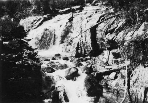
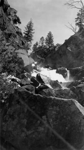
1. [Image] Falls on upper Redfish Lake Creek, Idaho
-
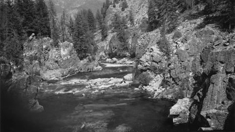
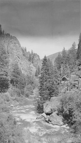 East Fork of Mayfield Creek tributary to Loon Creek which is a tributary to the Middle Fork of the Salmon River. Photo is looking downstream over a cascade section in the stream
Citation -
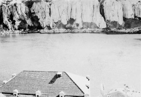
3. [Image] Snake River below Shoshone Falls
-
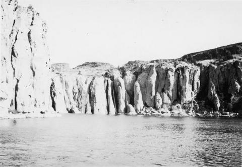
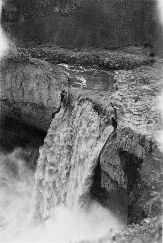
4. [Image] Palouse Falls
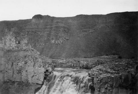 Palouse Falls on the Palouse River. The falls are 164 feet high
Citation -
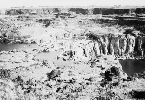
6. [Image] Shoshone Falls and power diversion
-
7. [Image] Palouse Falls
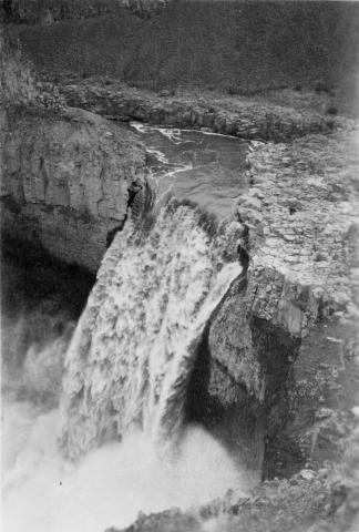 Palouse Falls on the Palouse River. The falls are 164 feet high
Citation -
8. [Image] Palouse Falls
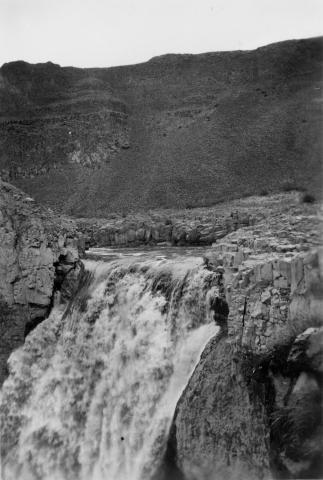 Palouse Falls on the Palouse River. The falls are 164 feet high
Citation -
9. [Image] Palouse Falls
 Palouse Falls on the Palouse River. The falls are 164 feet high
Citation -
10. [Image] Waterfall Creek
 Waterfall Creek near confluence with Middle Fork Salmon River. Waterfall Creek enters Middle Fork Salmon River just above Big Creek on left bank. The creek is too precipitous for migratory fish
Citation -
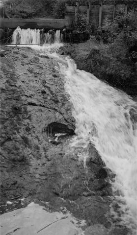
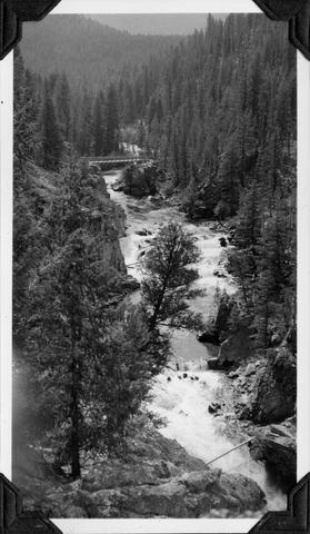
11. [Image] Sulphur Creek Falls
 Downstream view from horse bridge at head end of falls
Citation -
12. [Image] Sulphur Creek bedrock chute
 12 ft impassable bedrock chute short distance above highway bridge This is topped by a 6 ft dam
Citation -
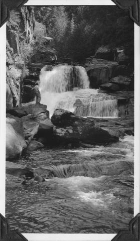
13. [Image] Cascade falls above Sulphur Creek
 Series of cascade-falls in Middle Fork Salmon River above Sulfur [Sulphur] Creek. Passable for fish at low water and passable with difficulty at high water according to the natives
Citation -
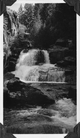
14. [Image] Middle Fork Weiser River falls
 Impassable falls about 25 ft high on the Middle Fork of the Weiser River in Idaho
Citation -
15. [Image] Middle Fork Weiser River falls
 Impassable falls about 25 ft high on the Middle Fork of the Weiser River in Idaho
Citation