Search
You searched for:
Start Over
Irrigation
Remove constraint Irrigation
Subject
Irrigation canals and flumes
Remove constraint Subject: Irrigation canals and flumes
« Previous | 1 - 10 of 352 | Next »
Search Results
-
KP-2478-R2 Klamath Project - TULELAKE IRRIGATION DISTRICT. View of turnout showing Armco corrugated metal headwall and Armco gate. Installation by Tulelake Irrigation District; October 21, 1958; Photo ...
Citation -
2. [Image] PH036_1339 Lee Moorhouse photographs
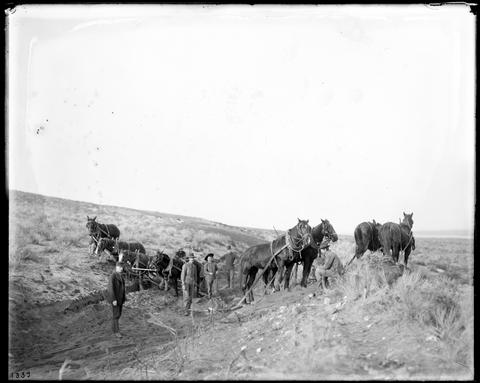 [Digging Hinkle irrigation canal with horses and hand scrapers, near Pendleton.]
Citation -
3. [Image] PH036_1338 Lee Moorhouse photographs
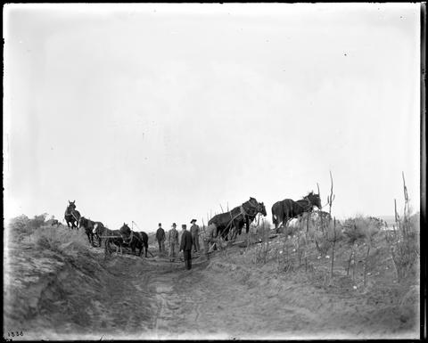 [Digging Hinkle irrigation canal with horses and hand scrapers, near Pendleton.]
Citation -
4. [Image] Irrigation flume
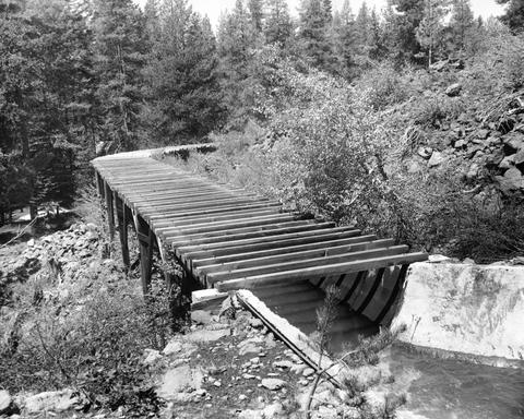 Upper view of irrigation flume showing where Armco pipe has been used around a hill side to maintain the proper water level for the flume. This irrigation ditch or flume is high in the Cascade range, heading ...
Citation -
KP-2500-R2- Klamath Project - M-CANAL WASTEWAY, Tulelake Irrigation District. View looking east showing wasteway, modified under Specifications 200C-393 to raise water serface in M-Canal; March 23, 1959; ...
Citation -
6. [Image] Irrigation flume
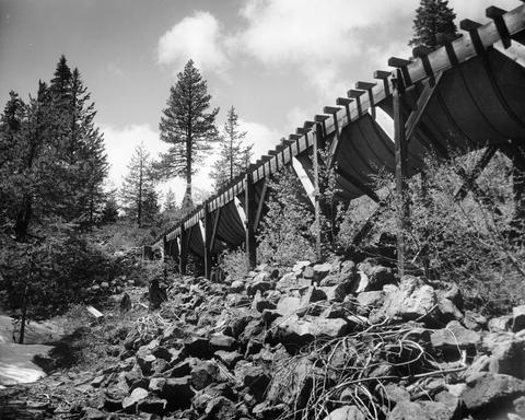 This stretch of flume made with Armco pipe is a link in a long irrigation ditch which heads in 4 mile lake high in the cascade mountains, and runs down into the Valley around Medford, Oregon for irrigation ...
Citation -
7. [Image] Hooper Pump
1035 - Klamath; August 13, 1943Citation -
8. [Image] PH036_2346 Lee Moorhouse photographs
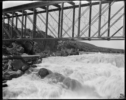 [Bridge over Columbia River below the Dalles, showing construction of water intake for irrigation canal.]
Citation -
9. [Image] PH036_2347 Lee Moorhouse photographs
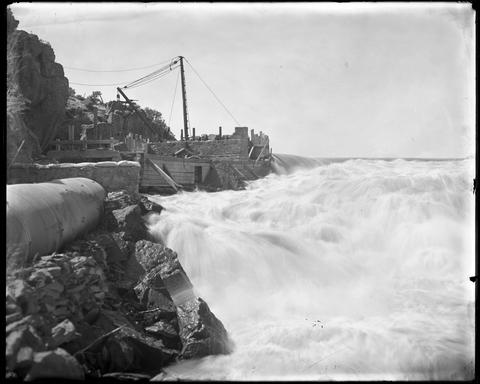 [Bridge over Columbia River below the Dalles, showing construction of water intake for irrigation canal.]
Citation -
10. [Image] PH036_2344 Lee Moorhouse photographs
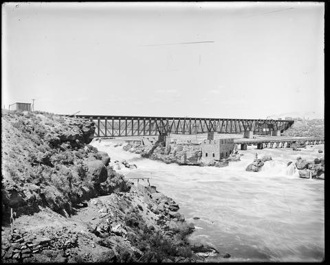 [Bridge over Columbia River below the Dalles, showing construction of water intake for irrigation canal.]
Citation