Search
You searched for:
Start Over
Tualatin River Watershed
Remove constraint Tualatin River Watershed
Subject
Hydrology
Remove constraint Subject: Hydrology
« Previous | 1 - 20 of 44 | Next »
Search Results
-
The State of Oregon Department of Environmental Quality (DEQ) is developing a TMDL for temperature in the Willamette River basin shown in Figure 1. The study area included the Willamette River and all ...
Citation -
The State of Oregon Department of Environmental Quality (DEQ) is developing a TMDL for temperature in the Willamette River basin shown in Figure 1. The study area included the Willamette River and all ...
Citation -
The State of Oregon Department of Environmental Quality (DEQ) is developing a TMDL for temperature in the Willamette River basin shown in Figure 1. The study area included the Willamette River and all ...
Citation -
The Tualatin River Basin is located in the Washington County, Oregon. The river was detected having high chlorophyll a concentration and low dissolved oxygen concentration during summer time, which violated ...
Citation -
The study area for this assessment is composed of the Alsea, Salmon, Siletz, Yachats, and Yaquina River watersheds and those watersheds that drain directly to the ocean between Cascade Head and Cape Creek ...
Citation -
6. [Article] Green River CE-QUAL-W2 Project: A Hydrodynamic and Water Quality Study of the Green River King County, Washington
This report describes the data processing and model calibration performed for a hydrodynamic and water quality model of the Green River, located in King County, Washington. Figure 1 shows the location ...Citation -
7. [Article] The Bull Run River–Reservoir System Model
The Bull Run watershed is located 41.8 kilometers east of Portland, Oregon in the Mt. Hood National Forest and consists of two reservoirs supplying drinking water to over 840,000 people in the Portland ...Citation -
8. [Image] Yarkon River - Drowning in Sewage
-
10. [Image] Jordan River Report Appendices -- Originals
-
12. [Image] Recueilde Statistiques Libanaises
-
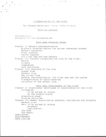
13. [Image] L'Oronte, Etude de Fleuve
-
14. [Article] Modeling the Bull Run River-Reservoir System
The City of Portland, Water Bureau currently operates 2 Bull Run reservoirs, Reservoir #2 and Reservoir #1 as a water supply source in the Bull Run watershed shown in Figure 1 and Figure 2. The Water Bureau ...Citation -
A hydrodynamic and water quality model of the Lower Willamette River was developed to evaluate management alternatives designed to improve water quality. The Lower Willamette River is located in Oregon ...
Citation -
18. [Article] Spokane River in Idaho and Washington TMDL Water Quality and Hydrodynamic Modeling Quality Assurance Project Plan -- DRAFT
The focus of this present study is to perform the following tasks: • Converting the Upper Spokane River CE‐QUAL‐W2 models (Washington and Idaho) to version 3.6 • Combining the Washington and Idaho models • ...Citation -
Spatially varying water-level regimes are a factor controlling estuarine and tidal-fluvial wetland vegetation patterns. As described in Part I, water levels in the Lower Columbia River and estuary (LCRE) ...
Citation -
20. [Article] Evaluating Global Sensitivity Analysis Methods for Hydrologic Modeling over the Columbia River Basin
Global Sensitivity Analysis (GSA) approach helps to identify the effectiveness of model parameters or inputs and thus provides essential information about the model performance. The effects of 14 parameters ...Citation